Key Points
- Clearing skies after marine layer dissipation bring patchy fog Wednesday morning, followed by sunnier skies by late morning.
- Afternoon highs near 70 degrees inland, especially south of Seattle, with cooler low 60s along the coast and North Sound.
- Warming trend continues through the week, with some areas approaching 80 degrees by Sunday and Monday.
- Clearer skies overnight from Tuesday led to the fog setup; this marks a shift from recent cloudy, cool days.
- Warmest temperatures so far this year expected this weekend, aligning closer to seasonal norms for first 80-degree readings around mid-May.
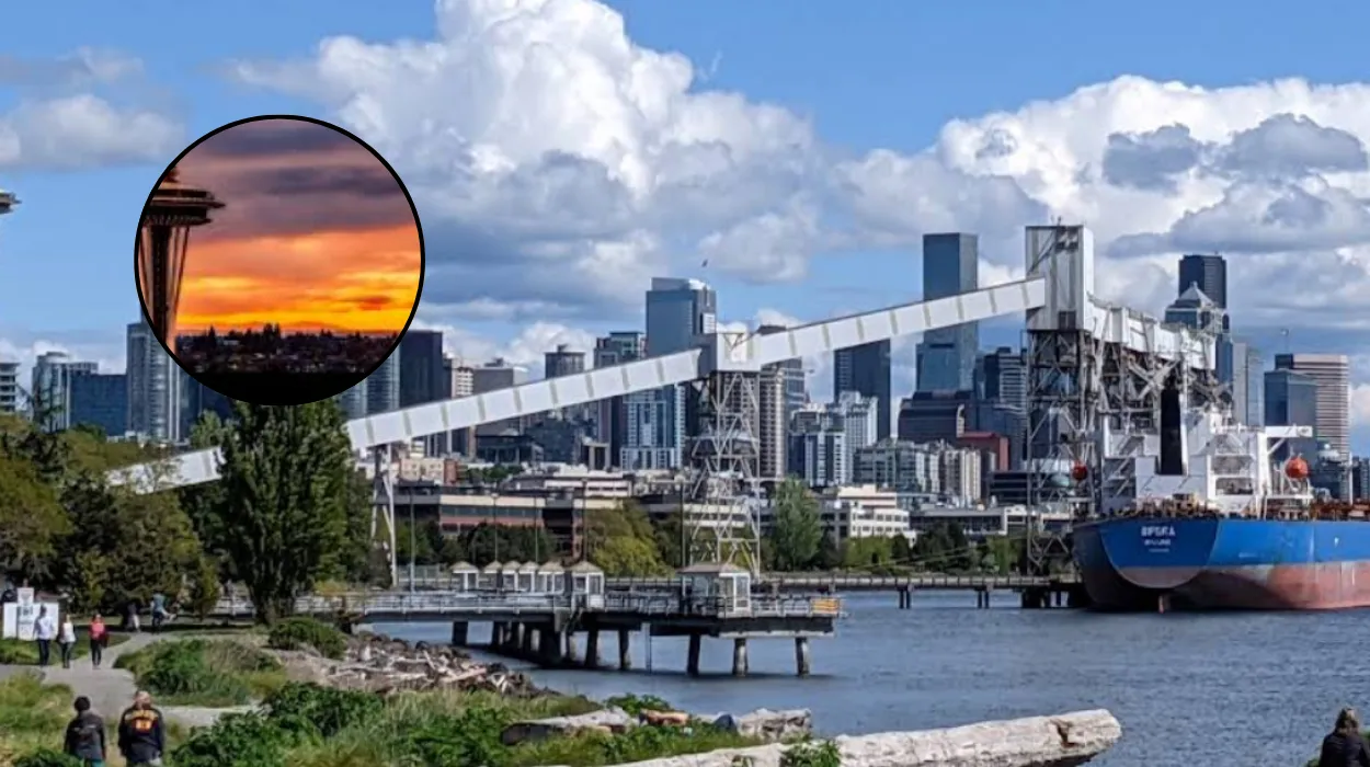
Seattle (Evneing Washington News) – April 29, 2026 -The marine layer that lingered through Tuesday began clearing in the evening, setting the stage for sunnier and warmer weather across the Seattle area on Wednesday. Patchy fog formed overnight due to the clearer skies, but this will give way to abundant sunshine by late morning, according to local forecasts.
Inland areas, particularly those to the south of the city, will see highs nearing 70 degrees Fahrenheit in the afternoon, a welcome rebound from the cloudy and cool conditions of the past couple of days. Coastal spots and regions around the North Sound, however, will remain a touch cooler with temperatures in the low 60s, influenced by lingering marine influences. This pattern reflects the typical interplay between onshore flow and clearing high-pressure systems in the Pacific Northwest.
What Triggered the Clearing Skies in Seattle?
The transition started Tuesday evening as the marine layer— a layer of cool, moist air from the Pacific— began to dissipate, allowing skies to clear out overnight. As reported by meteorologists at FOX 13 Seattle in their weather update,
“The marine layer began clearing Tuesday evening with skies clearing out overnight.”
This clearing promoted radiational cooling, which in turn led to the development of patchy fog Wednesday morning, a common phenomenon under calm, clear conditions.
By late morning, the fog will burn off, ushering in sunnier skies that persist through the afternoon. FOX 13 Seattle’s forecast team noted that
“the clearer skies will lead to some patchy fog Wednesday morning with sunnier skies by late morning,”
emphasising the rapid improvement expected. No significant disruptions from wind or precipitation are anticipated, making for an ideal day for outdoor activities once the fog lifts.
How Warm Will Seattle Get This Wednesday Afternoon?
Afternoon temperatures will finally warm up after recent cloudy spells, with many spots approaching 70 degrees, especially southward from Seattle. Coastal areas and the North Sound will hover closer to the low 60s due to cooler marine air, creating a noticeable gradient across the region.
The forecast from FOX 13 Seattle highlights that
“afternoon highs on Wednesday will finally begin to warm up once again. Many spots will be nearing 70 degrees, especially to the south.”
This warming is driven by building high pressure, which suppresses clouds and allows more solar heating. Residents in inland suburbs like Kent or Auburn can expect the most comfortable conditions, while beachgoers in West Seattle or Everett may need layers.
What Does the Warming Trend Mean for the Week Ahead?
A sustained warming trend kicks in starting Wednesday, with mainly sunny skies dominating the forecast through the weekend. The warmest conditions are slated for Sunday and Monday, when some areas could flirt with 80 degrees— the highest readings so far this year. FOX 13 Seattle’s outlook states,
“We are tracking the warmest temperatures so far this year to arrive this weekend and early next week. With many spots flirting with the 80s, these warmer temperatures are closer to when we expect to see them.”
On average, Seattle’s first 80-degree day arrives around May 16, so this timing feels seasonally appropriate rather than unusually early.
“Our warming trend kicks in beginning Wednesday with mainly sunny skies forecast this week. The warmest days will be Sunday and Monday with highs around 80 degrees,”
the forecast continued. This progression aligns with high-pressure ridging over the region, pulling warmer air from the south.
Why Are These Temperatures Notable for Seattle This Year?
This year’s early warmth builds on a pattern where Seattle has seen gradual increases after cooler starts. The impending 80-degree marks would surpass prior highs, marking a significant step toward summer-like conditions.
Historically, such readings in late April are not unprecedented but signal the onset of drier, brighter weather typical of the Puget Sound climate.
No extreme heat alerts are in place, but the shift from recent clouds underscores the variability of spring in the Pacific Northwest. The forecast remains dry, with no mention of rain chances until potentially later in the week, allowing the warmth to build unchecked.
Background of the Weather Development
The current warming follows a classic setup in Seattle’s microclimate, where the Puget Sound and Olympic Mountains often trap marine layers, leading to overcast starts before high pressure asserts dominance. This particular event stems from a retreating storm system offshore, which cleared out Tuesday, as tracked by regional radar and satellite imagery.
Historically, Seattle’s spring weather oscillates between cool, damp marine influences and occasional ridging that brings sun and heat. The average first 80-degree day around May 16 provides context for why Sunday’s forecast feels on pace, avoiding any anomalous extremes. Data from prior years shows similar patterns, with rapid warm-ups common after prolonged clouds, driven by southerly flow enhancing solar insolation under clear skies.
Prediction: How This Affects Seattle Residents
This development offers Seattle residents a respite from recent cool greyness, enabling more outdoor pursuits like park visits, hikes in the Cascades, or ferry rides with comfortable temperatures minimising discomfort from chill or damp.
Commuters and coastal dwellers may notice persistent cool spots, prompting light jackets, while inland families could plan barbecues or sports by Sunday’s peaks near 80 degrees. Gardeners benefit from the sun for planting, though patchy fog mornings require slight delays; overall, it boosts mood and local economic activity in tourism and retail without straining resources like air conditioning yet.