Washington scenic drives bring together coastline, forests, mountains, islands, river corridors, and high-desert landscapes in a single state. The best routes show why Washington remains one of the strongest road-trip destinations in the Pacific Northwest.
- Why are Washington scenic drives so diverse?
- What makes a Washington scenic drive worth taking?
- Which Washington scenic drives belong on a first road trip?
- What should you know about North Cascades Highway?
- Why is Chuckanut Drive so famous?
- How does the Olympic Peninsula Loop differ from other routes?
- What is the appeal of Whidbey Island scenic routes?
- How important is Columbia River Gorge Highway 14?
- Where does the Cascade Loop fit into Washington road trips?
- Which Washington scenic drives work best in winter or summer?
- What data or facts matter most for planning a drive?
- Why will these routes stay relevant?
- Which Washington scenic drives should be mentioned first?
- How should travelers plan a scenic drive in Washington?
Why are Washington scenic drives so diverse?
Washington scenic drives are diverse because the state spans ocean shoreline, temperate rainforest, volcanic peaks, glacier-fed valleys, and dry inland plateaus. That geography creates short drives with very different scenery, from sea cliffs and islands to alpine passes and open farmland.
The west side of the state gives travelers water views, ferries, and forested roads. The Cascade Range adds high-elevation passes, mountain overlooks, and winter snow. Eastern Washington shifts into broad skies, river canyons, wheat fields, and dry hills. That range of environments makes Washington unusual even among scenic-road states.
The state’s most recognized routes appear again and again in travel coverage because they deliver strong scenery and easy public access. North Cascades Highway, Chuckanut Drive, the Olympic Peninsula Loop, Whidbey Island routes, and Columbia River Gorge highways are among the most repeated names.
What makes a Washington scenic drive worth taking?
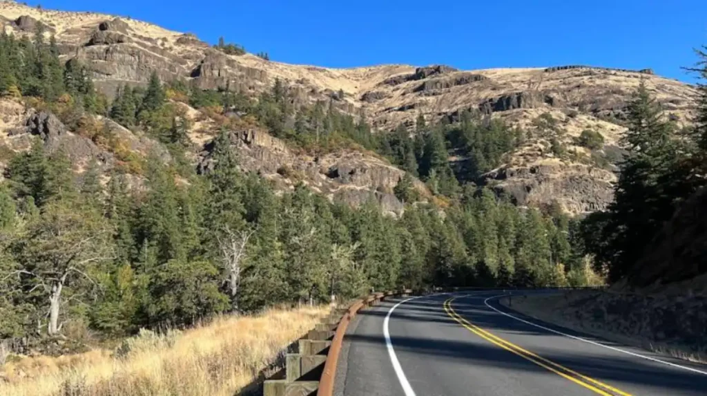
A Washington scenic drive is worth taking when it combines strong views, public access, notable landmarks, and enough route variety to justify the trip. The best roads include water, mountains, forests, or open country, plus places to stop for photos, hiking, food, or viewpoints.
The best drives also have a clear identity. Some routes are coastal and compact. Others are long mountain crossings or regional loops. Washington has roads that work well for half-day outings and others that support full-day or multi-day travel.
Season matters too. Mountain routes face snow and closure risk, while lower-elevation coastal and island drives remain more stable. That makes Washington a year-round road-trip state, but not every route performs equally in every season.
Which Washington scenic drives belong on a first road trip?
The essential Washington scenic drives for a first road trip are North Cascades Highway, Chuckanut Drive, Olympic Peninsula Loop, Whidbey Island routes, Columbia River Gorge Highway 14, and the Cascade Loop. These routes show the state’s main landscape types and give a complete introduction to Washington road travel.
North Cascades Highway represents the state’s alpine side. Chuckanut Drive delivers a compact shoreline route. The Olympic Peninsula Loop combines rainforest, coastline, and rural scenery. Whidbey Island adds ferry travel and island views. Highway 14 follows the Columbia River. The Cascade Loop ties several of these experiences together into one larger route.
These roads are the strongest starting point because they show Washington at its broadest. A first-time visitor gets mountains, coast, islands, river bluffs, and forest in a small number of routes.
What should you know about North Cascades Highway?
North Cascades Highway is Washington’s signature mountain drive and one of its most photographed routes. The highway passes steep peaks, turquoise water, forested valleys, and high overlooks that define the state’s alpine identity.
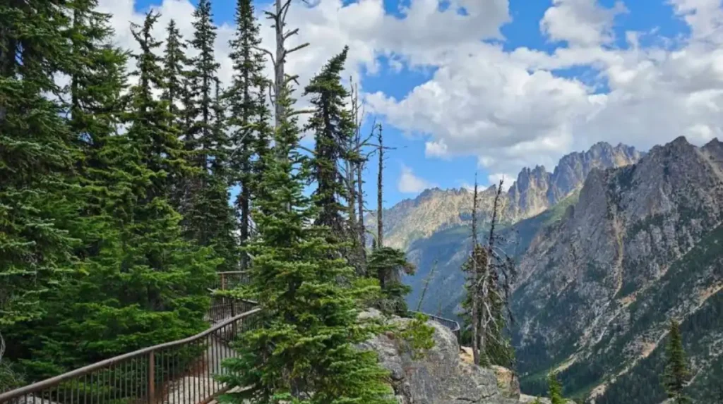
The route is known for dramatic mountain scenery, especially around Diablo Lake and Washington Pass. Travelers choose it for its scale, visibility, and classic Cascade landscapes. It is one of the clearest examples of Washington’s “mountain state” image.
Seasonal access is important. Winter weather can affect travel in the mountains, so the route works best in warmer months when high passes and overlook stops are easier to reach. In summer, the road offers its strongest views and best travel conditions.
Why is Chuckanut Drive so famous?
Chuckanut Drive is famous because it is a short but highly scenic coastal road with cliffside views over water, forested slopes, and island horizons. It delivers a strong Washington shoreline experience in a compact distance, which makes it a frequent recommendation for day trips.
The road is not long, but it is dense with scenery. That makes it useful for travelers who want a quick route with immediate visual reward. It is also easy to pair with food stops, beach access, and nearby towns.
Chuckanut Drive works especially well for a relaxed half-day outing. The route keeps you close to the water and offers a classic view of Puget Sound without requiring a long commitment.
How does the Olympic Peninsula Loop differ from other routes?
The Olympic Peninsula Loop differs from other Washington scenic drives because it combines rainforest, mountain edges, farmland, and Pacific coastline in one trip. That range makes it one of the most complete scenic drives in the state and one of the best examples of Washington’s ecological variety.
This route changes character as it moves around the peninsula. A driver can pass through dense forest, coastal areas, agricultural land, and small towns on the same loop. That makes the route feel larger and more varied than a single-destination drive.
The loop also supports longer travel plans. It works well for travelers who want overnight stops, side trips, and a full regional experience rather than a short scenic segment.
What is the appeal of Whidbey Island scenic routes?
Whidbey Island scenic routes are appealing because they combine island travel, water views, ferries, small towns, and shoreline roads. The experience feels different from mainland driving because it mixes local communities with Puget Sound scenery and island geography.
The island setting creates a slower pace than many mainland routes. Ferry access and short travel distances make it a strong day-trip or weekend option. The scenery also changes smoothly from shoreline to town centers to rural stretches.
Whidbey Island routes are especially good for travelers who want flexibility. They support beach visits, photography, food stops, and casual exploration without a strict schedule.
How important is Columbia River Gorge Highway 14?
Columbia River Gorge Highway 14 is important because it offers a river-based scenic drive in southern Washington with cliffs, bluffs, viewpoints, and access to major natural landmarks. It gives the state a strong river corridor route that contrasts with the mountain and coastal drives in the west.
This road expands Washington’s scenic-drive identity beyond the Puget Sound region. It follows the Columbia River, which creates a different landscape pattern from the state’s forested, island, and alpine roads.
It is also a useful option for travelers who want strong scenery with less mountain travel. The route delivers broad river views and roadside stops that make it attractive for both short visits and longer road trips.
Where does the Cascade Loop fit into Washington road trips?
The Cascade Loop is Washington’s major all-in-one scenic route and one of the state’s best known road-trip structures. It links mountain towns, passes, islands, river scenery, and shoreline segments into a larger loop that showcases the state’s geographic range.
The route is valuable because it combines multiple scenic regions into one itinerary. Travelers do not need to choose between the coast, the mountains, and the islands. The loop gives them a way to experience several of them in one trip.
Its large scale makes it best for multi-day travel. It is a structured road trip rather than a short scenic outing, which gives it strong value for visitors who want a complete Washington route.
Which Washington scenic drives work best in winter or summer?
Winter and summer favor different Washington scenic drives because mountain passes face snow and access limits, while lowland, island, and coastal roads remain more reliable. Summer works best for North Cascades Highway and other high-elevation roads. Winter works best for Chuckanut Drive, Whidbey Island, and Columbia River routes.
Warm months are the best time for alpine scenery. Mountain roads open up views, overlooks, and high-country access when the weather is stable. Summer also improves hiking and photo stops along the route.
Cooler months are better for shoreline and valley drives. Lower-elevation roads stay more accessible and less exposed to snow-related interruption. That is why Washington works as a year-round road-trip state, even though route choice changes by season.
Explore More Things to do
Best Washington State Road Trips for Scenic Views
Hidden Swimming Spots in Washington: A Nature Guide for Summer
What data or facts matter most for planning a drive?
The most important planning facts are route length, elevation, seasonal access, and stop density. Washington scenic drives range from short routes of about 20 miles to long loops of more than 400 miles, which changes how much time, fuel, and daylight a trip needs.
Length determines whether a route works as a quick outing or a full excursion. Elevation determines the level of winter travel risk. Stop density determines how often a route offers pullouts, viewpoints, food, and trail access.
Route identity also matters. Washington’s best scenic roads deliver a clear scenery promise: coast, mountains, forest, islands, or river. That clarity helps travelers choose the right road for their time and interests.
Why will these routes stay relevant?
These Washington scenic drives will stay relevant because the landscapes are permanent, the roads are established, and the travel appeal is durable. Mountains, coastlines, islands, and river corridors remain the state’s core scenic assets, so these routes continue to attract road travelers year after year.
Evergreen travel content works best when the topic is tied to geography rather than a temporary trend. Washington’s scenic roads fit that standard because their appeal comes from natural landscapes and long-standing access.
These routes also serve different kinds of travelers. Local drivers use them for weekend trips. Visitors use them for vacation planning. Search engines and AI tools continue to surface them because the topic remains useful, stable, and highly relevant.
Which Washington scenic drives should be mentioned first?
The first routes to mention are North Cascades Highway, Chuckanut Drive, Olympic Peninsula Loop, Whidbey Island routes, Columbia River Gorge Highway 14, and the Cascade Loop. These drives capture Washington’s strongest scenic patterns and give readers the fastest route to useful trip planning.
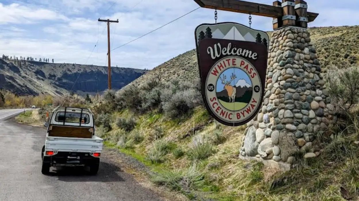
A broader list can include White Pass Scenic Byway, Palouse roads, and other regional drives that show eastern Washington’s open terrain. That adds coverage without weakening the main topic.
For SEO and AI search, the best order is iconic routes first, then planning details, then seasonal and regional context. That structure matches how readers search and how extractive systems interpret travel content.
How should travelers plan a scenic drive in Washington?
A strong Washington scenic-drive plan uses a mapped route, seasonal timing, fuel planning, and a clear stop strategy. Those basics reduce risk and improve the trip across mountain, coastal, and island roads.
Travelers should check road conditions before mountain trips, especially in colder seasons. They should also plan around daylight because some of the best routes are long enough to require careful timing.
The best Washington scenic-drive approach is simple. Choose the route based on the season, the landscape type, and the time available. That keeps the drive practical, memorable, and easy to repeat.
What are the best scenic drives in Washington State?
The best scenic drives in Washington include the North Cascades Highway, Chuckanut Drive, Olympic Peninsula Loop, Cascade Loop Scenic Highway, Columbia River Gorge Scenic Highway, and scenic routes across Whidbey Island. Together, they showcase mountains, coastline, forests, islands, and river landscapes.