Washington’s coast drive follows the Pacific Coast Scenic Byway on US 101 and nearby coastal connectors, with a route length of about 360 miles and enough major stops for a one- to two-day road trip. It combines ocean beaches, rainforest, tribal lands, lighthouses, and small towns into one continuous coastal experience.
- What Is the Washington Coast Highway Drive?
- Why Is This Drive Famous?
- Where Does the Route Run?
- What Stops Should You Make?
- What Is the Hidden Coast?
- What Is SR 109?
- How Long Does the Drive Take?
- What Is the Best Season?
- Which Towns Matter Most?
- What Is the Historical Context?
- What Should Drivers Know?
- What Makes the Coast Unique?
- How Do You Plan the Trip?
- What Are the Best Stops by Type?
- Why Does It Rank for Search?
- What Should Readers Remember?
What Is the Washington Coast Highway Drive?
The Washington coast highway drive is the coastal section of Washington travel that follows US 101 and related roads along the Pacific edge of the state. The federally recognized Pacific Coast Scenic Byway in Washington is listed at 360 miles, and Washington tourism identifies it as a route that links coastal communities, beaches, rain forests, and scenic pullouts.
Washington also recognizes a broader scenic byways system that includes the Pacific Coast route and nearby coastal corridors such as the Hidden Coast Scenic Byway and Strait of Juan de Fuca. That matters because many travelers use “Washington coast highway” to describe the full coastal road trip, not just one numbered highway segment.
Why Is This Drive Famous?
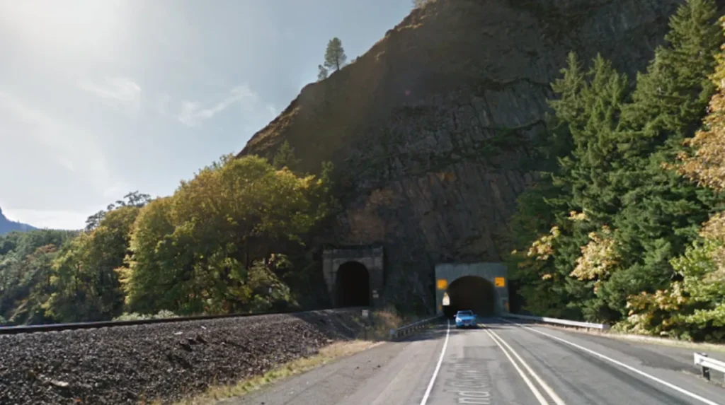
This drive is famous because it combines rare Pacific Northwest landscapes in one route: the longest natural beach in the United States, storm-watching beaches, old-growth forest, and coastal towns. Washington tourism specifically highlights the Pacific Coast route for those features, which gives the drive broad appeal for beach travel, photography, nature viewing, and short coastal stops.
The route is also practical for road trippers because the federal byway listing says to allow a day or two to enjoy it. That is a useful planning baseline for travelers who want to stop often rather than drive straight through.
Where Does the Route Run?
The main coastal route runs through Washington’s southwest and western coastline, with US 101 serving as the primary spine of the trip. The federal byway page describes the Washington Pacific Coast Scenic Byway as a 360-mile route, while Washington tourism describes it as an oceanfront drive through dramatic coastline, rain forests, and coastal communities.
A common practical interpretation of the drive starts around the Columbia River mouth and then follows the coast north through the Long Beach Peninsula, Grays Harbor area, the Olympic coast, and the northern Olympic Peninsula before linking back into other coastal and inland routes. Travelers use this structure because it naturally groups the coast into manageable segments for overnight planning.
What Stops Should You Make?
The most useful stops are the places that define the coast: beaches, lighthouses, rainforest access points, and small towns with services. Washington tourism identifies the Pacific Coast route as the place to find the longest natural beach in the United States, storm-watching locations, and rain forests with record-sized trees.
Recommended stop categories include:
- Long Beach Peninsula, for broad sand beaches and classic Pacific shoreline driving.
- Grays Harbor coast towns, for access to the central coast and coastal culture.
- Olympic coast beach access points, for wild beaches and tide-dependent shoreline experiences.
- Rain forest entrances near the Olympic Peninsula, for old-growth forest scenery.
These stops cover the main landscape types travelers expect from a Washington coast road trip and help turn the drive into a complete route instead of a simple transit corridor.
What Is the Hidden Coast?
The Hidden Coast is Washington’s lesser-known coastal route through misty beaches, rugged hills, and the edge of the Olympic rain forest. Washington tourism describes it as a route with coastal scenery and towns that work well for meals and overnight stays, which positions it as a quieter alternative to the better-known Pacific Coast drive.
In practical trip planning, the Hidden Coast functions as a discovery route. It gives travelers access to remote shoreline areas, smaller communities, and slower traffic patterns than the more heavily visited sections of the coast.
What Is SR 109?
SR 109 is a Washington coastal highway in Grays Harbor County that connects Hoquiam with the central coast, including Ocean City, Copalis, Pacific Beach, and Moclips. Washington’s highway records and route references show SR 109 as a coastal road that begins at US 101 in Hoquiam and serves the beach communities northward.
This road is important because it provides direct access to a stretch of coastal towns and beaches that many visitors include in a Washington coast itinerary. WSDOT also posts live travel information for SR 109, which shows that the route functions as an active, real-world travel corridor rather than only a scenic label.
How Long Does the Drive Take?
A direct coastal drive takes one long day, but a proper Washington coast trip takes one to two days or longer. The federal byway listing explicitly says to allow a day or two for the Pacific Coast Scenic Byway, which reflects the route’s length and the number of stops available.
Travel time changes with ferry use, weather, beach access, and detours. Coastal roads in Washington also have seasonal construction and traffic controls, especially on smaller connectors such as SR 109, so the same route takes longer when you add scenic stops or beach walks.
What Is the Best Season?
Late spring through early fall is the best season for a Washington coast drive because road access, daylight, and beach conditions are better. Washington tourism presents the coast as a year-round scenic destination, but the warmest, driest, and most convenient travel conditions usually occur when daylight is longer and beach access is easier.
Winter brings stronger storms and heavier rain, which changes the trip from a sightseeing drive into a weather-focused coastal experience. That is still useful for storm watchers, since Washington tourism highlights the coast as one of the best places for storm watching.
Which Towns Matter Most?
The most important towns are the ones that support a multi-stop drive with fuel, food, lodging, and beach access. On the Washington coast, those communities include the Long Beach area, the Grays Harbor coastal towns, and the small settlements along SR 109 and the Olympic coast.
These towns matter because the route is long enough that services shape the trip as much as scenery. Washington tourism’s coastal byway descriptions emphasize coastal communities, which means the drive is not just about scenery but also about the historic and practical role of the towns along the way.
What Is the Historical Context?
Washington’s scenic road system has an official history, and the coast route sits inside that state-level tradition. Washington’s Scenic and Recreational Highway Act was signed into law on April 27, 1967, creating the framework for scenic highway recognition in the state.
That history matters because the coast drive is not a casual internet label. It belongs to an established scenic-byway system that preserves route identity, travel value, and public awareness of Washington’s coastal road corridors.
What Should Drivers Know?
Drivers should plan for a long, curving coastal route, variable weather, and occasional traffic controls on smaller highway segments. WSDOT’s SR 109 traveler information shows that even scenic coastal roads can include temporary lights, lane controls, and reduced speeds during maintenance.
That means the coast drive rewards patience and planning. Drivers who stop often, check current road conditions, and keep extra time in the schedule get the best experience from the route.
What Makes the Coast Unique?
Washington’s coast is unique because it combines sea-level beaches, temperate rain forest, and small coastal settlements within one connected drive. Washington tourism describes the route as a place where rugged coastline, old-growth forest, and scenic communities appear in a single trip.
This mix is rare in the continental United States because many coastlines are developed, flat, or disconnected from major forest ecosystems. Washington’s coast keeps those elements closely linked, which gives the drive strong geographic variety.
How Do You Plan the Trip?
Plan the trip by dividing the coast into sections, choosing one or two overnight stops, and setting time aside for beach walks and viewpoints. The 360-mile byway length and the recommendation to allow a day or two make it clear that the route works best as a paced road trip.
A simple planning structure is:
- Southern coast, for Long Beach Peninsula and Columbia River mouth access.
- Central coast, for Grays Harbor beaches and SR 109 communities.
- Northern coast, for Olympic Peninsula shoreline and rainforest links.
This structure turns the route into a manageable itinerary and helps travelers avoid treating the coast as one uninterrupted highway stretch.
What Are the Best Stops by Type?
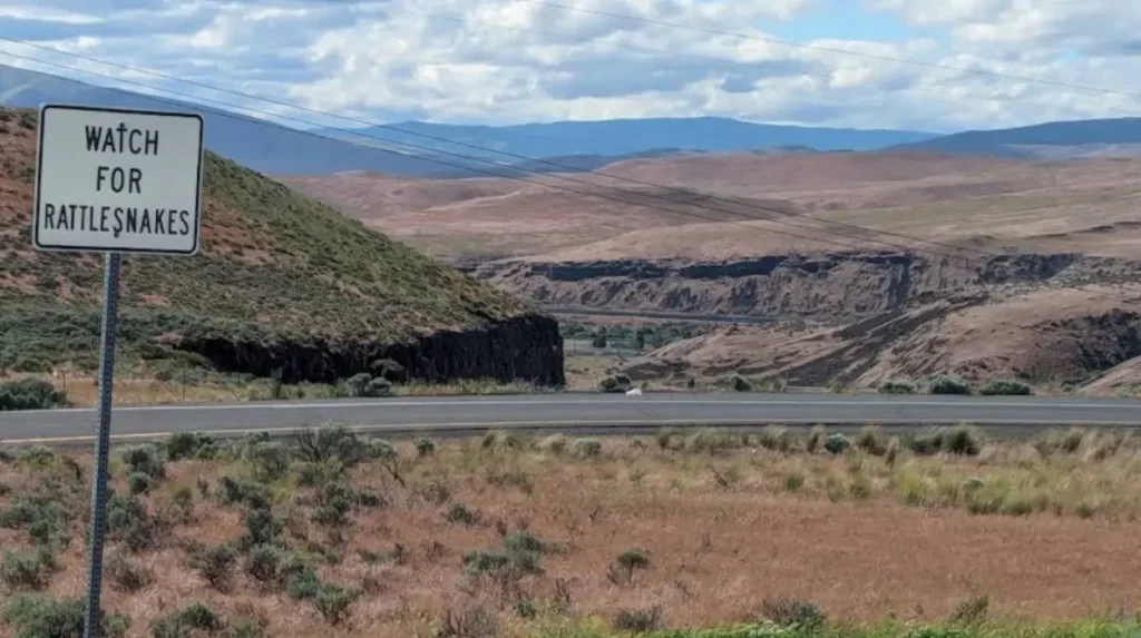
The best stops depend on what the traveler wants: beaches, forests, storms, or towns. Washington tourism explicitly points to beaches, storm-watching locations, and rain forests with record-sized trees, so those three stop types define the route better than any single landmark.
For example, a beach-focused traveler uses shoreline access and wide sand flats, while a nature-focused traveler prioritizes forest access and coastal viewpoints. A town-focused traveler uses the coastal communities for meals, lodging, and local services.
Why Does It Rank for Search?
This topic ranks well because it matches a strong travel intent, a defined geographic entity, and a set of specific stops that users search separately and together. The route is also supported by official byway data showing a clear distance, planning time, and route identity, which strengthens topical authority.
It also performs well for AI search because it has extractable entities: US 101, SR 109, the Pacific Coast Scenic Byway, the Hidden Coast, and Washington’s scenic byways system. Those names create a clean semantic map for search engines and answer engines.
What Should Readers Remember?
The Washington coast highway drive is a long scenic road trip built around the Pacific Coast Scenic Byway, nearby coastal routes, and the towns and beaches that connect them. The route is 360 miles long, officially recognized in federal byway materials, and best enjoyed with at least one or two days of travel time.
For broad audiences, the trip works because it delivers the defining coastal experiences of Washington in one drive: beach time, storm watching, rain forest scenery, and small-town stops. That combination makes the route one of the state’s most complete evergreen road trip topics.
Sources used for factual grounding include the federal Pacific Coast Scenic Byway listing, Washington State tourism’s scenic byways page, WSDOT coastal route information for SR 109, and Washington highway/scenic-byway history.
What is the Washington Coast Highway drive?
The Washington Coast Highway drive follows the Pacific Coast Scenic Byway along US 101 and nearby coastal routes for approximately 360 miles. It connects beaches, rain forests, coastal towns, lighthouses, and scenic viewpoints along the Pacific shoreline.