- Rare Mid-Summer Relief: Washington, D.C., and the surrounding region are experiencing exceptionally comfortable weather for late July, characterised by low humidity and mild temperatures.
- Mild Temperatures: Afternoon high temperatures are anticipated to remain in the lower 80s to mid-80s Fahrenheit (around 27°C–29°C).
- Comfortable Air Mass: Unusually low humidity levels for late July are producing atmospheric conditions more reminiscent of early September.
- Light Winds and Sun: Light easterly breezes accompanied by mostly sunny skies are dominating the district throughout the day.
- Overnight Outlook: Seasonably cool conditions will persist overnight, with low temperatures dropping into the upper 50s to mid-60s Fahrenheit (14°C–18°C).
- Extended Weekend Horizon: Favourable conditions are expected to extend into Saturday before a gradual return of typical July heat and humidity early next week.
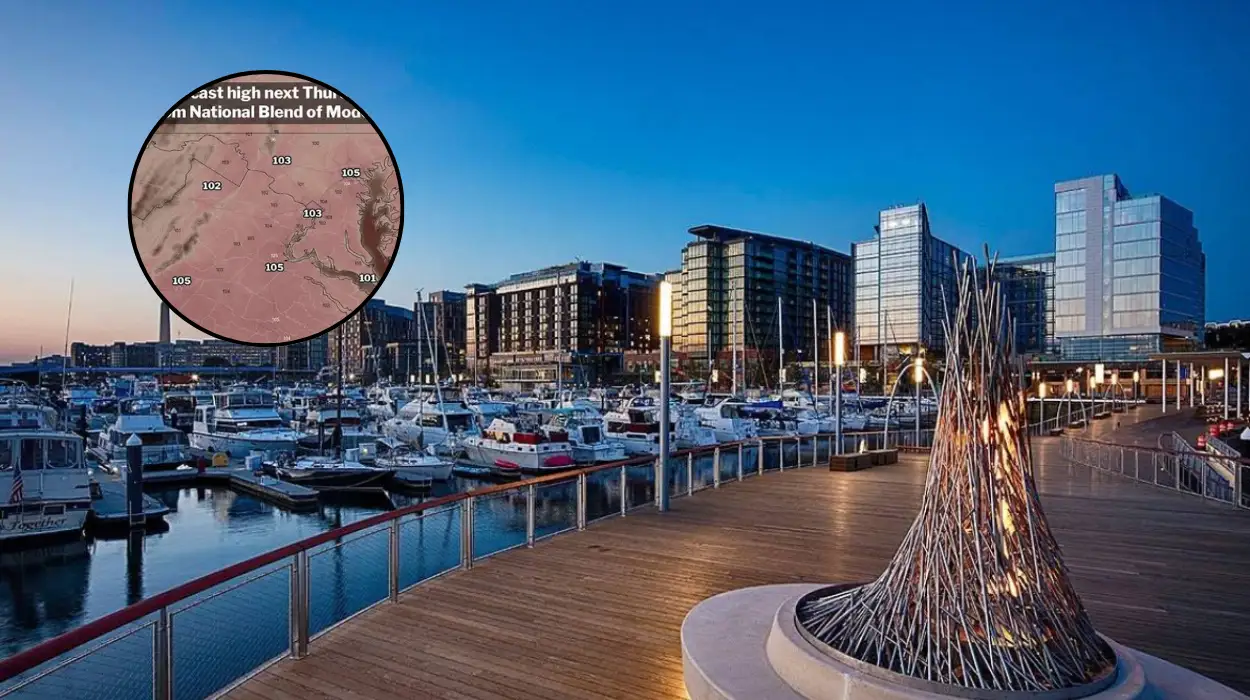
Washington (Evening Washington News) July 24, 2026 — Residents and visitors across the Washington, D.C. metropolitan area are benefiting from a rare mid-summer atmospheric pause as an unusually dry and comfortable air mass settles over the region. Mother Nature is delivering a distinct reprieve from the typical oppressive heat of late July, featuring afternoon high temperatures in the lower to mid-80s Fahrenheit, gentle easterly breezes, and noticeably low humidity levels. Meteorologists across multiple regional weather outlets note that these atmospheric parameters align more closely with early September weather than the peak of summer, creating ideal outdoor conditions across the District of Columbia, Maryland, and Northern Virginia.
- Why Is Friday Expected to Be Unusually Comfortable for Late July in Washington?
- What Is the Detailed Daily Temperature Forecast for Washington DC?
- How Will Weather Conditions Evolve Across the D.C. Region Over the Weekend?
- When Will Typical Late-July Heat and Humidity Return to the Capital Area?
- What Is the Background of This Particular Weather Development?
- How Will This Weather Development Affect Washington DC Residents and Visitors?
Why Is Friday Expected to Be Unusually Comfortable for Late July in Washington?
As reported by 7News, the primary catalyst behind this summer weather break is a dry air mass accompanied by a persistent light breeze originating from the east. High temperatures across the core metropolitan area are projected to cap in the lower 80s Fahrenheit. The defining factor of the day remains the humidity levels, which have dropped substantially below seasonal averages for late July.
As noted by Ian Livingston of Capital Weather Gang, the meteorological parameters for Friday reflect lots of sunshine alongside below-average high temperatures hovering near 80 to the mid-80s Fahrenheit. Light easterly winds are keeping maritime mugginess at bay, allowing surface moisture levels to remain surprisingly low. The overall atmospheric composition ensures that outdoor ambient feeling remains crisp rather than heavy or stifling.
What Is the Detailed Daily Temperature Forecast for Washington DC?
According to data compiled from regional forecasting services, the daytime profile features sustained sunshine interspersed with occasional light cloud cover. Maximum afternoon temperatures will fluctuate between 80°F and 85°F (26.6°C to 29.4°C) across the city centre, urban corridors, and surrounding suburban sectors.
As night falls, the clear and dry air mass will allow rapid radiational cooling. As reported by Ian Livingston of Capital Weather Gang, nighttime conditions will feature partly to mostly clear skies with comfortable evening temperatures falling steadily through the 70s Fahrenheit. Low temperatures overnight are expected to range across the upper 50s to mid-60s Fahrenheit (14.4°C to 18.3°C), yielding an almost cool sensation prior to sunrise on Saturday.
How Will Weather Conditions Evolve Across the D.C. Region Over the Weekend?
As reported by 7News and further detailed by Ian Livingston of Capital Weather Gang, the pleasant conditions are slated to linger through the first half of the weekend.
On Saturday, cloud cover was initialised in earlier model runs to bring potential rain showers; however, updated meteorology indicates that storm activity will remain focused well south of the immediate D.C. area. Consequently, Saturday will offer partial sunshine with high temperatures once again settling in the near-80°F to mid-80s Fahrenheit range. Nighttime temperatures on Saturday night will remain manageable, with lows residing mainly in the 60s Fahrenheit under partly cloudy skies.
A subtle transition begins on Sunday. As outlined in the report by Ian Livingston of Capital Weather Gang, Sunday will turn somewhat warmer and more muggy. High temperatures are expected to reach the mid-80s Fahrenheit, accompanied by a slight possibility of scattered afternoon rain showers or localized thunderstorms as humidity slowly begins to rebuild across the Middle Atlantic region.
When Will Typical Late-July Heat and Humidity Return to the Capital Area?
As reported by Ian Livingston of Capital Weather Gang and supported by forecast summaries from Meteorologist Mike Thomas of FOX 5 DC, the brief departure from standard summer weather will conclude early next week.
By Monday and Tuesday, atmospheric flow patterns will transition back toward typical mid-summer normals. High temperatures are projected to climb into the upper 80s to around 90°F (31°C to 32°C). Along with elevated mercury levels, atmospheric moisture content will rise significantly, increasing the probability of scattered afternoon showers and thundershowers, particularly on Tuesday afternoon.
What Is the Background of This Particular Weather Development?
The occurrence of low-humidity, mild weather in Washington, D.C., during late July is historically uncommon. Typically, the region experiences its hottest and most humid conditions during this stretch of the year due to persistent high-pressure systems off the Atlantic coast, frequently referred to as the Bermuda High. These systems generally pump moist, tropical air from the Gulf of Mexico and the Caribbean northward along the Eastern Seaboard.
As documented in historical meteorology records by FOX 5 DC, earlier periods in the season saw extreme heat events where temperature records were challenged or broken across D.C. and Dulles International Airport due to intense upper-level ridging. The temporary displacement of these oppressive air masses occurs when high-pressure systems originating from southern Canada or the Great Lakes push Canadian continental air masses southward, driving weak cool fronts through the Mid-Atlantic. This temporary atmospheric alignment blocks tropical moisture import and delivers short intervals of mild, dry weather to the nation’s capital before sub-tropical high pressure re-establishes dominance.
How Will This Weather Development Affect Washington DC Residents and Visitors?
The arrival of a comfortable mid-summer air mass directly influences daily activity, energy consumption, and outdoor planning across the Greater Washington area.
Local Residents and Commuters
For area residents, reduced humidity and temperatures in the low 80s offer a distinct break from heat-related discomfort during daily commutes and outdoor errands. Energy demands across local power grids are expected to dip temporarily as residential and commercial air conditioning usage scales back compared to standard peak-summer loads. Evening conditions in the 60s Fahrenheit present rare opportunities for natural ventilation in homes.
Tourists and Outdoor Recreation
Visitors exploring the National Mall, outdoor monuments, and regional parks will experience significantly safer and more comfortable walking conditions. Lower heat index values decrease the risk of heat exhaustion and heat stroke, which frequently affect tourists unaccustomed to Washington’s typical summer humidity. Outdoor dining establishments, recreational sports leagues, and public park facilities are likely to see heightened patronage throughout Friday and Saturday ahead of the returning humidity on Sunday and Monday.