Key Points
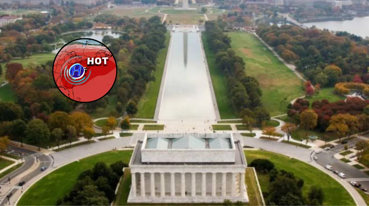
- Spring conditions in the Washington, D.C. area are expected to shift quickly towards summer, with temperatures rising through the weekend and into early next week.
- Thursday stayed cloudy and windy, with much of the DMV seeing temperatures in the upper 50s and 60s.
- Forecast highs are expected to climb above normal on Friday, with humidity gradually returning.
- By Sunday, some neighbourhoods around Washington could reach 90 degrees.
- Monday and Tuesday are expected to bring the hottest conditions, with highs well into the 90s in parts of the region.
- Reagan National Airport could see its first stretch of three consecutive 90-degree days unusually early in the season.
Washington (Evening Washington News) May 15, 8, 2026 — Spring in the Washington, D.C. area is expected to move quickly towards summer this weekend, with forecasters warning that temperatures could climb into the 90s in parts of the DMV by early next week.
What is driving the early heat wave?
As reported by 7News, Thursday brought clouds, gusty north-west winds and temperatures that remained stuck in the upper 50s and 60s across much of the DMV.
The shift begins on Friday, when the atmosphere is expected to warm up above seasonal norms, and the trend is likely to accelerate through the weekend. Humidity is also forecast to return gradually, adding to the summer-like feel that will develop across the region.
This pattern matters because it marks a sharp change from the cooler, blustery conditions seen on Thursday.
In weather reporting, that kind of rapid swing is significant because it affects commuting, outdoor plans and health precautions, especially for people who are not yet acclimatised to hotter conditions. The forecast suggests that what begins as a pleasant warm-up could become a genuinely hot spell by the start of next week.
How hot could the DMV get?
According to the 7News forecast, Sunday could be the first day when some neighbourhoods around Washington flirt with 90 degrees.
The bigger heat is expected on Monday and Tuesday, when forecast highs are predicted to surge well into the 90s in parts of the region. That would put the DMV within striking distance of some early-season records.
The report also said Reagan National Airport could experience its first stretch of three consecutive 90-degree days surprisingly early in the season. If that happens, it would be a notable marker of how quickly the warm-up has developed.
The forecast is not presented as a certainty for every location, but rather as a regional pattern that could deliver different temperatures depending on local conditions.
What did the forecast say about the weekend?
The weekend appears to be the transition period between the cooler Thursday weather and the hotter early-week pattern. 7News reported that Friday should begin the move towards warmer conditions, while Saturday and Sunday are expected to continue the climb.
By Sunday, some places may already be close to the 90-degree mark, which would be enough to signal that the seasonal change is happening fast.
The forecast also points to increasing humidity, which can make temperatures feel more oppressive than the thermometer suggests.
For residents, that means the practical impact may be greater than the raw temperature alone implies. Outdoor events, sports, and travel across the DMV could all be affected as the air becomes warmer and more humid.
How does this compare with Thursday?
Thursday remained relatively cool for this time of year, especially compared with what is now forecast. Much of the DMV sat in the upper 50s and 60s, with clouds and gusty north-west winds shaping the day.
That kind of weather is more typical of an unsettled spring pattern than a near-summer heat event.
The contrast is important because it shows how quickly the region can shift from mild to potentially hot conditions.
In weather journalism, such a swing is often reported as a headline development because it can catch people off guard. Residents who had been dressing for spring may need to prepare for the possibility of summer-like heat within only a few days.
What was reported by 7News?
The original report from 7News said spring was about to “hit the fast-forward button” across the Washington, D.C. area.
It also said temperatures would climb above normal beginning Friday, with humidity slowly returning and the hottest weather arriving early next week. The report specifically noted that some neighbourhoods could flirt with 90 degrees by Sunday.
7News also said the DMV may be moving towards an early run of 90-degree days, with Reagan National Airport potentially recording three consecutive days at that level.
That detail is notable because it gives the forecast a local benchmark rather than describing the heat in broad terms. It also underscores that the warm spell may be more than a one-day spike.
What should residents watch for?
People across the DMV will likely need to watch for the combination of heat and humidity, particularly if they are planning to be outdoors.
The forecast suggests that conditions will become more intense from Friday onwards, with the most extreme warmth expected on Monday and Tuesday. That means the start of next week may be the most important period for monitoring weather updates.
The practical impact may be felt most in routines that are sensitive to temperature, including outdoor work, exercise and travel.
Even without severe storms or strong winds, a rapid early-season heat rise can be disruptive. For those with heat sensitivity, the combination of near-90 °F temperatures and returning humidity could make conditions uncomfortable sooner than expected.
Why does this forecast matter now?
The timing is important because the region has only just been dealing with a cooler and cloudier pattern. A sharp move into the 90s so early in the warm season could influence how residents plan for the rest of May.
It also raises attention around early-season weather extremes, which are often watched closely by both forecasters and the public.
The report does not say that the heat wave will break records, only that parts of the region will be within striking distance.
That distinction matters in news reporting because forecasts can shift, but the overall pattern is clear: the DMV is moving quickly from spring conditions towards a much hotter stretch. For now, the key story is the pace of that change rather than any single temperature reading.
Background of the development
This development sits within a familiar seasonal pattern for the Washington region, where late spring can bring abrupt temperature changes. A mild or breezy day can be followed quickly by a much warmer airmass, especially when atmospheric conditions favour strong warming and returning humidity.
The present forecast reflects that kind of transition, moving from the upper 50s and 60s on Thursday to the possibility of 90-degree heat by Sunday and into early next week.
From a reporting standpoint, this is the kind of weather story that gains attention because it combines timeliness, local impact and a clear change in conditions. The 7News report frames the event as an early push towards summer, with Reagan National Airport singled out as a key observation point for consecutive 90-degree days.
That makes the forecast relevant not only as a temperature update, but also as an indicator of how quickly the DMV can shift into hot-weather patterns.
Prediction
For residents across the DMV, this development is likely to affect daily routines, outdoor activity and travel plans more than a normal spring warm-up would. If the forecast holds, people may need to adjust clothing, hydration and scheduling sooner than expected, especially on Monday and Tuesday when temperatures are projected to be highest. The most immediate effect will probably be felt by commuters, outdoor workers, event organisers and anyone spending extended time outside in the heat.