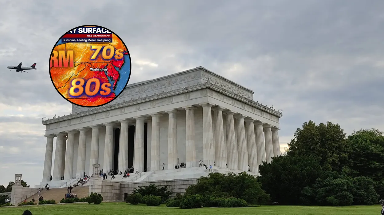
Key Points
- Cooler Temperatures: Highs on Thursday are expected to reach around 82°F (27.8°C), approximately eight degrees below the late-July seasonal average of nearly 90°F (32.2°C).
- Lower Humidity: Drier, cooler air behind the cold front will keep humidity levels low through Friday, offering comfortable conditions for the Washington metropolitan area.
- Overnight Clearing: Showers and thunderstorms that passed south of the District on Wednesday evening have moved offshore.
- Weekend Outlook: Conditions will gradually warm over the weekend, with low-probability pop-up storms possible by Sunday.
- Extended Outlook: Heat and humidity return early next week, with an increased likelihood of afternoon and evening thunderstorms on Monday and Tuesday, before conditions dry out again by midweek.
Washington (Evening Washington News) July 23, 2026 – Sunshine and mild warmth settled across the Washington, D.C. region on Thursday following the passage of an overnight cold front, delivering lower humidity levels and daytime high temperatures reaching the low 80s.
Morning temperatures began in the upper 60s to low 70s across the District, Maryland, and Virginia (DMV) area as a cooler, drier air mass moved into the region.
What Caused the Shift to Cooler Weather in D.C.?
As reported by Taylor Grenda of FOX 5, skies remained quiet across the DMV region on Thursday morning following the departure of Wednesday night’s unsettled weather. As stated by Taylor Grenda of FOX 5,
“showers and storms that passed south of the District Wednesday night have cleared offshore.”
The movement of the cold front across the mid-Atlantic region effectively cleared out local cloud cover and introduced a drier air mass from the north and west.
Consequently, Thursday’s projected high temperature of 82°F (27.8°C) sits roughly eight degrees below the regional average for late July, which typically lingers near 90°F (32.2°C).
How Long Will the Comfortable Conditions Last?
According to reporting by Taylor Grenda of FOX 5, humidity levels are expected to remain low through Friday, establishing comfortable atmospheric conditions for the start of the weekend.
Temperatures across the region will experience a gradual upward trend over the coming days:
- Friday: Continued low humidity with pleasant conditions across the D.C. metropolitan area.
- Saturday: Gradual warming trend with clear to partly cloudy skies.
- Sunday: Increased warmth with the potential for isolated pop-up showers or thunderstorms in the afternoon.
What is the Extended Outlook for Early Next Week?
As reported by Taylor Grenda of FOX 5, warmer and more humid conditions are scheduled to return to the District early next week.
The meteorological pattern indicates that the best chance for widespread afternoon and evening thunderstorms will arrive on Monday and Tuesday as atmospheric moisture builds across the mid-Atlantic.
Weather conditions are currently projected to dry out again by midweek, bringing a return to more stable weather patterns.
Background of the Particular Development
The Washington, D.C. region during late July typically experiences peak summer conditions characterised by high heat indices, elevated dew points, and frequent humidity-driven pop-up storms.
Cold fronts originating from northern latitudes that successfully penetrate as far south as the DMV during mid-to-late summer are relatively uncommon and generally provide temporary relief from prolonged heatwaves.
The passage of Wednesday night’s front represents a transient pattern shift, interrupting the typical thermal mid-summer regime before standard seasonal humidity resumes.
Prediction: How Will This Development Affect D.C. Residents and Commuters?
This atmospheric transition directly impacts several key groups across the Washington metropolitan area:
The short-term reduction in humidity and heat index values provides safer working conditions for outdoor contractors, utility crews, and municipal workers who typically face high heat-stress risks in late July.
Outdoor recreationists, joggers, and tourists visiting the National Mall will experience noticeably more comfortable conditions through Friday and Saturday morning.
The temperature drop to 82°F—eight degrees below seasonal norms—is anticipated to temporarily reduce demand on the regional electrical grid.
Reduced reliance on air conditioning units across residential and commercial buildings throughout D.C., Northern Virginia, and suburban Maryland typically results in lower peak-load demands for local utility providers during such dry spells.
Clear skies and dry roads through Friday provide optimal travel conditions for regional highways and public transport networks.
However, event organizers and Monday-Tuesday commuters should prepare for potential transit disruptions early next week when heavy afternoon thunderstorms are forecast to return alongside increased humidity levels.