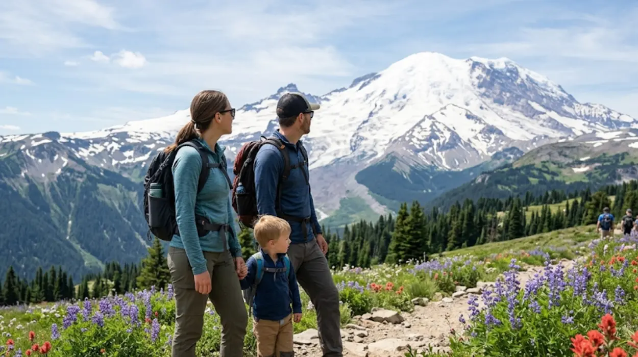
Washington State is one of the best summer travel destinations in the United States because it combines mountains, coastline, islands, forests, and a major city in one trip. The strongest places to include are Mount Rainier, Olympic National Park, North Cascades National Park, the San Juan Islands, Whidbey Island, Seattle, and the Columbia River Gorge.
- Why is Washington State a strong summer travel destination?
- Which national parks should you visit in Washington State?
- What are the must-see places in Mount Rainier?
- Where should you go in Olympic National Park?
- Which Washington islands are worth a summer trip?
- What should you see in Seattle during summer?
- How should you plan a Washington summer road trip?
- Which places fit different travel styles?
- Why does Washington summer travel stay relevant every year?
Why is Washington State a strong summer travel destination?
Washington State is a strong summer travel destination because it offers glacier-capped mountains, coastal beaches, temperate rain forests, island escapes, and city experiences in one region. Summer provides the best access to high-elevation roads, scenic trails, ferry routes, and outdoor recreation.
The state works well for broad audiences because it supports many travel styles at once. Visitors can plan hiking trips, beach trips, wildlife trips, family road trips, photography trips, and city breaks without leaving Washington. That range gives the state a clear advantage in summer search intent because the destinations are easy to combine into one itinerary.
Washington also has strong seasonal value. Many of its most famous mountain viewpoints, alpine trails, and scenic drives are most accessible during summer months. Long daylight hours also make the region easier to explore, especially for travelers building multi-stop itineraries.
Which national parks should you visit in Washington State?
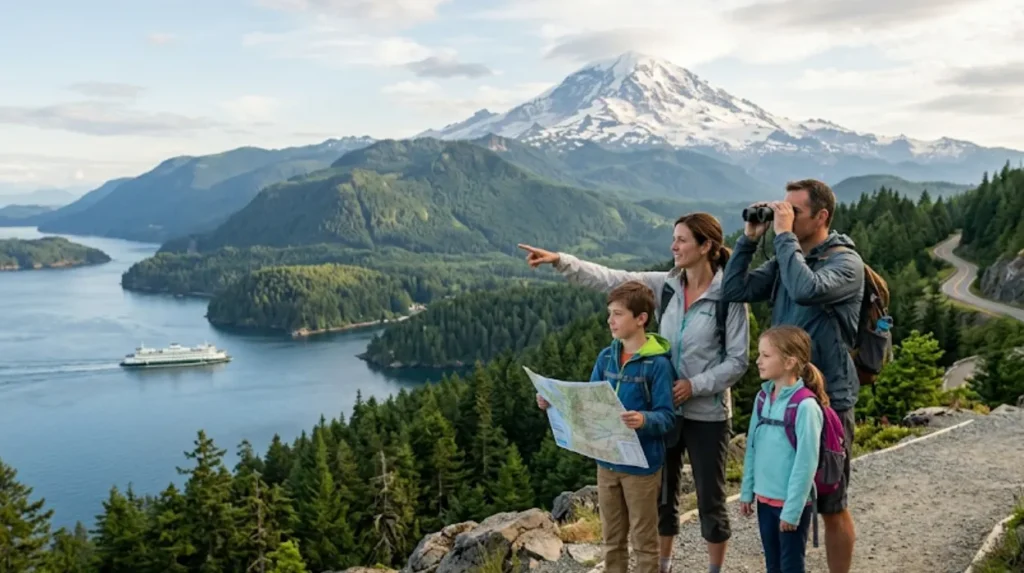
The three most important national parks in Washington State are Olympic National Park, Mount Rainier National Park, and North Cascades National Park. Each park represents a different landscape: coast and rainforest, volcanic alpine terrain, and glacier-filled mountain country.
Olympic National Park is the most geographically diverse. It includes rugged coastline, old-growth forest, and mountain areas, which makes it a strong choice for travelers who want several scenery types in one park. Summer is the best season to connect the park’s coastal and interior areas.
Mount Rainier National Park is the state’s signature mountain destination. Its high-elevation viewpoints, glaciers, meadows, and forests create a classic Pacific Northwest summer experience. It is one of the most recognizable places in Washington and one of the strongest anchor destinations for a summer road trip.
North Cascades National Park is the best choice for travelers who want dramatic alpine scenery with fewer crowds. The park is known for jagged peaks, deep valleys, and glacier views. It is especially valuable for travelers who want wilderness-style scenery and photography opportunities.
What are the must-see places in Mount Rainier?
The must-see places in Mount Rainier are Paradise, Sunrise, and Longmire. These areas show the park’s most important summer landscapes, including meadows, glaciers, mountain views, and historic visitor areas.
Paradise is the most famous section of the park. It is known for wide views of Mount Rainier, summer wildflowers, and access to many of the park’s classic hiking routes. For most visitors, this is the first place that defines the Mount Rainier experience.
Sunrise is the highest vehicle-accessible area in the park and one of the best places for broad mountain scenery. It is especially valuable in summer because its alpine setting gives visitors a stronger high-country experience than lower-elevation areas.
Longmire adds historical and practical value. It gives visitors access to park services, lodging, and museum-style interpretation. A complete Mount Rainier visit often includes Longmire for arrival or overnight planning, Paradise for scenery, and Sunrise for high-elevation views.
Where should you go in Olympic National Park?
The best places in Olympic National Park are Hurricane Ridge, Hoh Rain Forest, Ruby Beach, and Rialto Beach. These locations represent the park’s mountain, forest, and coastal character.
Hurricane Ridge is the park’s classic mountain viewpoint. It gives visitors wide alpine views and is one of the easiest places to understand the scale of the Olympic Mountains. It works especially well as a first stop for travelers entering the park from the east or north.
Hoh Rain Forest is one of the most distinctive landscapes in Washington. Its moss-covered trees, damp trails, and dense canopy create a rainforest setting that feels very different from the state’s mountain parks. Summer travel makes access easier and gives visitors longer daylight for exploring.
Ruby Beach and Rialto Beach are the best coastal stops for many travelers. They offer sea stacks, driftwood, tide pools, and sunset views that make the Olympic coast one of the state’s strongest summer attractions. These beaches are especially useful for travelers who want a scenic route with both forest and ocean views.
Which Washington islands are worth a summer trip?
The San Juan Islands and Whidbey Island are the top island destinations for summer travel in Washington. They offer ferry access, coastal views, wildlife opportunities, and small-town scenery.
San Juan Island is the best-known island destination. It is especially popular for whale watching, shoreline drives, and relaxed summer travel. The island’s mix of marine scenery and quiet landscapes makes it one of the strongest weekend-trip options in the state.
Whidbey Island is a simpler and more flexible island getaway. It works well for day trips and short overnight stays because it combines beaches, parks, and scenic towns. It is also easier to connect with mainland road trips than more remote island destinations.
These islands matter for summer SEO because they fit broad traveler intent. Some visitors want wildlife and marine views, while others want easy access and low-stress exploration. Washington supports both with its island network.
What should you see in Seattle during summer?
Seattle’s top summer stops are Pike Place Market, the Space Needle area, Discovery Park, and the Puget Sound waterfront. The city works as both a destination and a travel base for the rest of Washington.
Seattle is the main gateway for most Washington itineraries. Travelers often begin here before moving toward the parks or the islands. That makes the city essential to summer planning because it connects urban sightseeing with regional travel.
Pike Place Market remains one of the city’s most recognizable places. It gives visitors food, local shops, and a concentrated downtown experience. The Space Needle area adds one of the state’s strongest skyline views and helps anchor Seattle as a major summer stop.
Discovery Park is one of the best outdoor spaces inside the city. It offers trails, open views, and a quieter natural setting than the downtown core. For summer travelers, that combination of city and nature creates a useful balance between active days and relaxed sightseeing.
How should you plan a Washington summer road trip?
A strong Washington summer road trip starts in Seattle and builds loops to Olympic National Park, Mount Rainier, North Cascades, and one island or coastal stop. This route reduces backtracking and gives travelers a complete view of the state.
The most efficient structure is to pair a city base with one or two major outdoor regions. Seattle works well as the arrival point, while Olympic, Rainier, and the islands form the main travel corridor. This approach keeps the trip practical for families, couples, and independent travelers.
Travelers should also plan around access conditions. Some mountain roads, viewpoints, and high-country areas are seasonal, so summer is the best time to see them fully open. This is especially important for Sunrise at Mount Rainier and for high alpine areas in the Cascades.
A good summer itinerary also balances major destinations with recovery time. Washington’s best places are scenic, but they are spread across a large state. Combining one major park with one coastal or island stop creates a more efficient and enjoyable trip.
Explore More Things to do
Best Time to Visit Washington State: Seasonal Travel Guide
Washington State Small Towns Worth Visiting: Complete Travel Guide 2026
Which places fit different travel styles?
Different travelers should choose different places depending on their goals. Families fit Seattle and Whidbey Island, hikers fit Mount Rainier and North Cascades, photographers fit Olympic and the San Juan Islands, and road-trippers fit the full state circuit.
Families often benefit from destinations with easier access and shorter activity windows. Seattle, Whidbey Island, and Mount Rainier’s lower-access areas work well because they provide strong scenery without requiring difficult logistics. These places also support flexible pacing.
Hikers and outdoor travelers should focus on Mount Rainier, North Cascades, and Olympic’s trail systems. These parks provide the strongest combination of elevation, forest, and alpine scenery. Summer is the best season for this type of trip because it opens more trail and road options.
Photographers and scenic travelers should prioritize the coast and islands. Ruby Beach, Rialto Beach, and the San Juan Islands are especially strong because they deliver the visual identity most associated with Washington State. Their water, sky, and shoreline scenes are among the most recognizable in the region.
Why does Washington summer travel stay relevant every year?
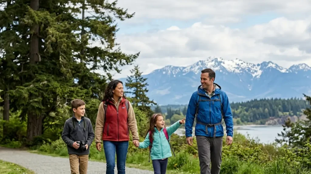
Washington summer travel stays relevant every year because its main attractions are permanent natural landmarks with recurring seasonal access. The same parks, beaches, islands, and cities remain useful for planning each year.
This makes the topic evergreen. Visitors return because the core experience does not disappear: mountains stay in place, beaches stay accessible, and the islands continue to support summer ferry travel. The details of the trip change with weather and road access, but the destinations remain stable.
The state also stays relevant because it serves multiple search intents at once. Some travelers want national parks, some want beaches, some want islands, and some want city trips. Washington captures all of those needs in one geographic area.
For that reason, a summer travel guide to Washington should always focus on the same core entities: Mount Rainier, Olympic National Park, North Cascades National Park, Seattle, Whidbey Island, and the San Juan Islands. Those are the places that define the state’s summer travel identity.
Why is Washington State one of the best summer destinations?
Washington State is one of the best summer destinations because it combines mountains, national parks, islands, coastline, forests, and vibrant cities in one trip. Summer also offers the longest daylight hours, warm weather, and full access to scenic roads, hiking trails, and ferry routes.