
Key Points
- Western Washington temperatures will surge into the low 80s on Sunday and Monday, potentially setting new record highs following a mostly cloudy Saturday.
- Dangerous cold water shock risks and elevated fire dangers are anticipated during this warm stretch, with officials recommending life vests for anyone near local waterways.
- Conditions are expected to cool slightly by mid-week, returning to the low 70s with morning clouds and afternoon sunshine.
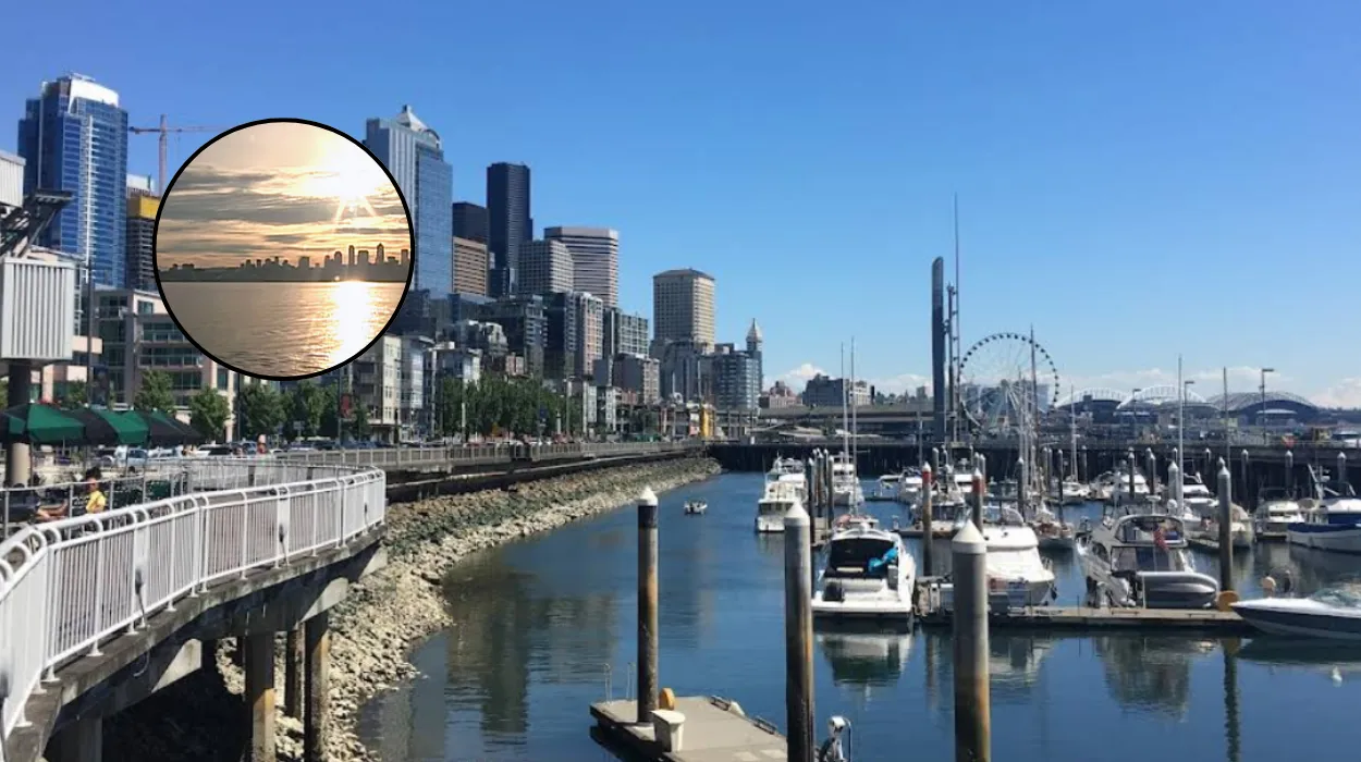
- Friday featured a warm and pleasant day across the Seattle region, with highs in the low to mid 70s, about 10 degrees above average.
- High-level clouds passed through at times on Friday, giving way to filtered sunshine that kept conditions bright and comfortable.
- Clouds will increase overnight into Saturday, starting mostly cloudy with possible light sprinkles; clouds will break by afternoon for more sunshine, with highs in the low 70s.
Seattle (Evening Washington News) May 9, 2026 This warm spell follows a pleasant Friday with highs in the low to mid 70s, roughly 10 degrees above seasonal averages. Officials warn of cold water shock dangers and heightened fire risks, urging life vest use near waterways.
Why Are Temperatures Surging in Seattle This Weekend?
The sudden temperature rise builds on Friday’s comfortable conditions, where high-level clouds intermittently obscured the sun before filtered sunshine dominated, maintaining bright and pleasant weather.
Reports indicate Saturday will begin mostly cloudy with a chance of light sprinkles, transitioning to partial sunshine by afternoon and highs around the low 70s.
This sets the stage for Sunday’s surge into the low 80s, with similar warmth persisting through Monday and possible record challenges.
As detailed in the initial forecast summary, the warmth introduces specific hazards: cold water shock from chilly Puget Sound and lake waters contrasting with hot air, alongside dry conditions elevating fire risks in forested areas. Local authorities advise caution, particularly for boating or swimming activities.
The pattern shifts mid-week, with temperatures easing to the low 70s under mixed morning clouds and afternoon sun.
No specific meteorologist is named in the provided reports, but the forecast aligns with standard National Weather Service patterns for the region during this period.
What Hazards Come with Seattle’s Warm Spell?
Dangerous cold water shock remains a primary concern, as mountain snowmelt keeps waterway temperatures low despite air highs nearing 82°F.
Officials explicitly recommend life vests for all near local waters, emphasising the risk of sudden immersion leading to gasping or muscle failure. Elevated fire risks accompany the dry, warm air, potentially sparking grassroots or wildfires in drier zones.
Saturday’s mostly cloudy start with light sprinkle chances offers brief relief before Sunday’s heat. The forecast notes no severe storms but underscores preparedness for these environmental contrasts.
How Will Seattle’s Weather Transition Mid-Week?
Post-Monday, conditions moderate with highs dropping to the low 70s by mid-week. Mornings bring clouds, clearing to afternoon sunshine, restoring a more typical Pacific Northwest mildness. This cooling follows the intense weekend warmth, allowing a return to comfortable outdoor activities without extreme precautions.
Friday’s baseline—low to mid 70s under filtered sun—provides context for the anomaly, being 10 degrees above average. High-level clouds on that day transitioned smoothly, presaging the weekend’s variability.
Background of the Weather Development
This forecast reflects typical late spring patterns in Western Washington, where marine influences often temper highs, but occasional high-pressure ridges allow surges like the projected low 80s. Seattle’s climate, moderated by the Puget Sound and Olympic Mountains, sees such warm spells sporadically, often following cloudy transitions as noted from Friday to Saturday.
Record potential arises from deviations above seasonal norms (typically upper 60s), driven by southerly flows or ridging aloft, consistent with broader 2026 regional trends of variable springs.
Prediction: How This Affects Seattle Residents
This development can impact Seattle residents through increased demand on cooling centres if urban heat intensifies, alongside higher emergency responses for water incidents given cold shock risks.
Outdoor workers and event planners may face hydration and sun exposure challenges during peak warmth, while firefighters prepare for elevated risks in peripheral areas. Recreation near waterways requires added safety measures like life vests, potentially limiting spontaneous outings. Mid-week cooling offers relief for daily commutes and school activities, but the warm weekend could boost park usage and tourism, straining public facilities. Agricultural interests in surrounding counties might benefit from accelerated growth but watch for fire threats to crops.


