Key Points
- A brief storm system will move into Washington beginning the night of Tuesday, May 12, bringing rain across much of the state and the possibility of thunderstorms early on Wednesday, May 13.
- Cooler temperatures are expected statewide, with highs near 63°F in Seattle and below or around 70°F in parts of eastern Washington.
- A wind advisory is in effect for Spokane on Wednesday, reflecting gusty conditions across parts of the state.
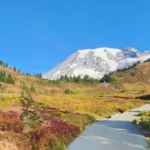
- The system will bring measurable precipitation to mountain areas and may deliver over four inches of snow in some higher-elevation locations, providing a temporary boost to mountain snowpacks.
- The rain is forecast to ease on Thursday and continue into Friday, with partly sunny conditions and milder temperatures predicted for the weekend in many locations.
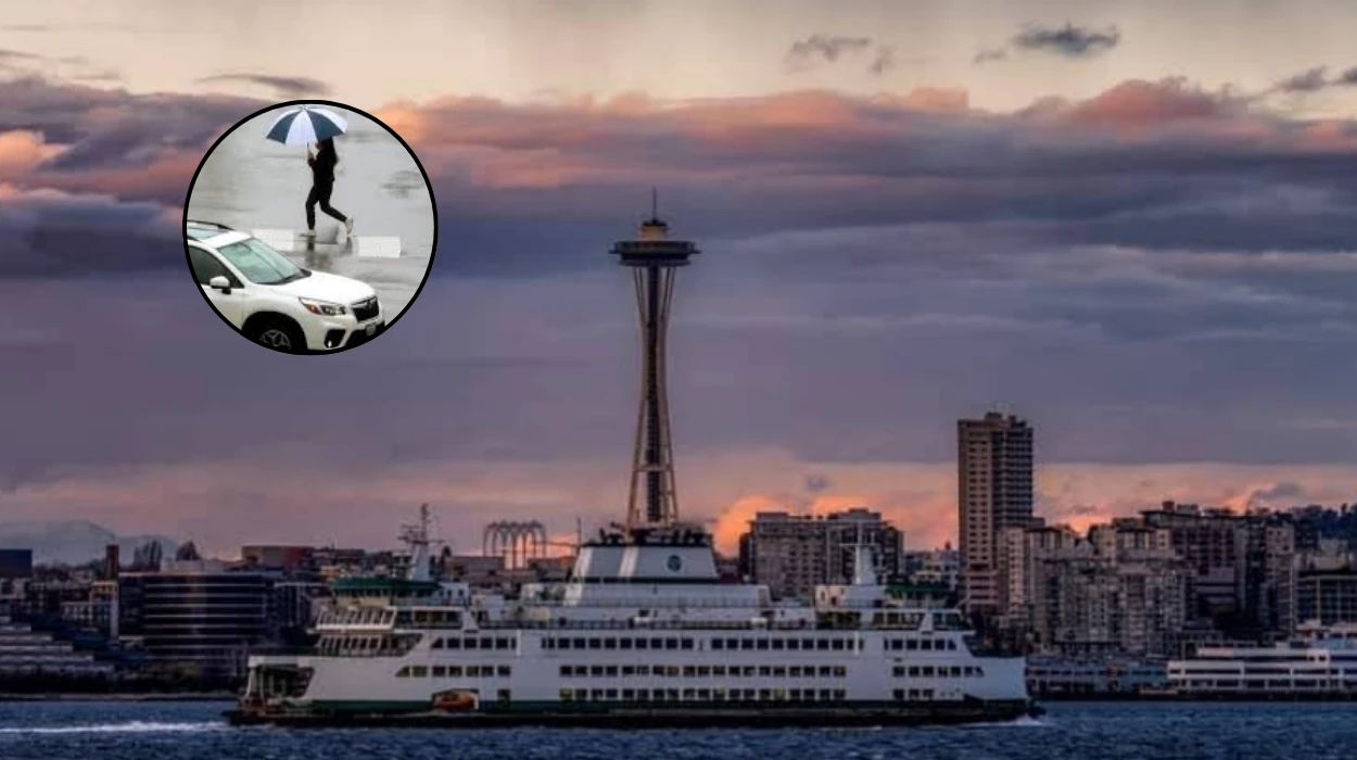
Washington (Evening Washington News) May 13, 2026 – National Weather Service and local meteorologists report that a compact but impactful weather system is expected to move across the state beginning Tuesday night, May 12, bringing rain, gusty winds and isolated thunderstorms before conditions ease later in the week. The system follows a period of unseasonably warm weather earlier in May and will lower temperatures statewide, with the most noticeable cooling in western urban areas such as Seattle and in parts of eastern Washington where highs are forecast to dip below or near 70°F.
- Key Points
- How soon will precipitation begin across the state and which areas are most at risk for thunderstorms?
- What are the temperature changes, and who will feel the coolest conditions?
- Will the storm affect mountain snowpacks and high-elevation areas?
- What do weekend forecasts look like after the system moves through?
- What public-safety or travel guidance are officials offering?
- Who provided the meteorological analysis, and what sources informed the forecast?
- Will this storm significantly alter seasonal trends for the region’s precipitation or drought outlook?
- How have local communities and services prepared for the change in weather?
- Could the thunderstorms produce severe weather such as hail or strong straight-line winds?
- What should residents in urban areas expect in terms of daily life and commuting?
- Are there any expected impacts on agriculture and outdoor industries?
- Where can residents find the most up-to-date local forecast and warnings?
- Background of the particular development
- Prediction:
How soon will precipitation begin across the state and which areas are most at risk for thunderstorms?
As reported by the National Weather Service’s Weather Prediction Center, rain could begin as early as Tuesday night, with widespread precipitation expected through Wednesday, May 13, and tapering off Thursday before lingering into Friday in some areas.
Meteorologists warn that isolated thunderstorms may develop across the state early on Wednesday morning; those thunderstorms would be most likely where low-level instability briefly increases as the front moves through.
Explore More Weather News
Seattle Sunnier Week: 70s Monday, 80s Tuesday South King Seattle, 2026
WA Wildfire Season May Start Early After Driest Spring – Seattle, 2026
What are the temperature changes, and who will feel the coolest conditions?
Forecast guidance from the National Weather Service indicates a clear drop in temperatures from the early-May warmth, with Seattle-area highs limited to around 63°F on Wednesday, while eastern Washington locations may see highs closer to or below 70°F.
The cooler air mass is a direct response to the system’s passage and will be accompanied by cloud cover and precipitation that limit daytime heating.
A wind advisory is already in effect for Spokane for Wednesday, according to National Weather Service bulletins, signalling the potential for gusty conditions that could impact travel, outdoor work and lighter structures.
Forecasters advise residents in advisory areas to secure loose outdoor items and exercise caution while driving, especially in high-profile vehicles, until winds subside.
Will the storm affect mountain snowpacks and high-elevation areas?
Meteorologist Cliff Mass wrote on his website that some mountain locations could record precipitation amounts equivalent to more than four inches of snow in higher elevations, offering a temporary relief to snowpacks suffering spring melt.
The mountain precipitation will fall as rain at lower elevations and as snow at the highest passes, which could impact late-season travel in restricted areas.
What do weekend forecasts look like after the system moves through?
After the brief unsettled period, forecast models show the state moving toward more stable conditions for the weekend: Seattle is expected to see highs near 61°F with partly sunny skies, following a brief rain shower Saturday morning.
Spokane should trend mostly sunny with highs in the mid-60s. Those conditions represent a return to milder, seasonable weather following the temporary cool down brought by the midweek system.
What public-safety or travel guidance are officials offering?
The National Weather Service and local emergency management agencies are urging residents to monitor updates and be prepared for changing road conditions, especially in the mountains where snow levels may complicate travel and in areas subject to wind advisories.
Motorists are advised to reduce speed during heavy rain, maintain a safe following distance, and be alert for localised flooding or water pooling on roadways.
Who provided the meteorological analysis, and what sources informed the forecast?
The primary forecast information comes from the National Weather Service’s Weather Prediction Centre, which issued discussions noting the timing and coverage of the precipitation, and from the National Weather Service local forecast offices that detailed temperature and wind advisories for specific zones.
Additional commentary and mountain precipitation estimates were provided by meteorologist Cliff Mass on his personal weather blog, which discussed potential snow totals at high elevations.
Will this storm significantly alter seasonal trends for the region’s precipitation or drought outlook?
At present, forecasters characterise the event as a short-lived system that will temporarily increase precipitation and cool temperatures but is not expected to fundamentally change longer-term seasonal trends or resolve underlying dry conditions statewide.
While mountain snowpack gains from this event may be helpful to water-resource managers, the impacts are likely to be incremental rather than transformative.
How have local communities and services prepared for the change in weather?
Local transportation departments routinely prepare for spring storms by staging crews for road clearing and drainage checks, and utility companies prepare crews to respond to any wind-related outages. Schools, parks and recreation services generally follow local weather guidance, making near-term operational decisions (such as postponing outdoor events) based on updated forecasts and advisories as the storm approaches.
Could the thunderstorms produce severe weather such as hail or strong straight-line winds?
While forecasts do not single out a widespread severe-weather episode, isolated thunderstorms can occasionally produce brief bursts of hail or strong straight-line winds, particularly where localized instability overlaps with stronger low-level shear; forecasters emphasise vigilance and advise monitoring severe-weather statements should convective activity intensify.
Residents in areas where thunderstorms develop should heed any short-term severe thunderstorm warnings issued by the National Weather Service.
What should residents in urban areas expect in terms of daily life and commuting?
Urban commuters in cities such as Seattle should prepare for rain-related slowdowns during the Wednesday morning and evening periods and for temperatures that will feel noticeably cooler than the first days of May.
Those planning outdoor activities over the course of Wednesday and Thursday may wish to reschedule or bring appropriate rain gear, especially during the morning hours when the heaviest precipitation and embedded thunder are most likely.
Are there any expected impacts on agriculture and outdoor industries?
Short-term rainfall can be beneficial for some agricultural operations by providing moisture to surface soils, but cool temperatures and brief heavy showers may delay certain fieldwork or outdoor construction activities.
Managers in the agriculture and construction sectors are advised to monitor localised forecasts and adjust schedules where necessary to avoid working during peak precipitation or gusty wind periods.
Where can residents find the most up-to-date local forecast and warnings?
The National Weather Service’s local forecast pages and the Weather Prediction Centre’s discussions are the principal sources for timing, intensity and hazard details as the system approaches and moves across Washington.
Local news outlets and official emergency management social feeds will also relay any county-level advisories or urgent safety notices.
Background of the particular development
Why this brief May storm matters now: Washington entered May with several of the warmest days of the year so far, creating a clear temperature contrast that heightens the perceptibility of the incoming cool spell; transient spring systems such as this one are common in the Pacific Northwest and often bring a mix of rain, mountain snow and gusty winds as maritime and continental air masses interact.
Mountain snowpacks historically receive late-season boosts from spring storms; although single events rarely change basin-wide water-supply outlooks, they can reduce immediate drought stress in high-elevation catchments and affect short-term runoff and recreation access.
Prediction:
Short-term implications for the public: commuters, outdoor workers and travellers should expect slower journeys, possible road hazards in mountain passes and a need for rain gear and caution during Wednesday’s peak precipitation and thunderstorm window.
For water managers and agricultural stakeholders, the precipitation will provide modest near-term moisture gains—especially in mountain areas where higher-elevation snow may increase—but it is unlikely to materially alter seasonal drought outlooks without follow-up systems. Emergency and transport authorities will likely operate in a heightened state of readiness while the wind advisory remains in effect, and residents should monitor official channels for any changes or new warnings as the system progresses.