Key Points
- Cloudy Morning Start: Due to troughing in the upper atmosphere, a cloudy morning continued in Seattle and Western Washington, making it slightly cooler than normal.
- Mild Afternoon Sunbreaks: There were partial sunny spells in the afternoon that made mostly dry weather conditions, with the highs reaching the low to mid-70s.
- Greater Possibility for Rain: According to the FOX 13 Seattle Weather Team, the probability of rain is expected to rise during Friday night as a result of the formation of a convergence zone that will produce rain in King and Snohomish Counties.
- Saturday to Monday Weather Forecast: Showers have been predicted for Saturday with the highs in the upper 60s, while mild weather conditions are expected back on Sunday and Monday.
- Context about Wildfire and Fire Threat: Although the air quality stayed mostly good around the Seattle vicinity, a Red Flag Warning has been issued for portions of north-central Washington because of dry air and windy conditions creating a threat of wildfires.
Seattle (Evening Washington News) August 28, 2026 – Residents across Seattle and western Washington experienced a cooler-than-average end to the workweek, marked by a characteristically overcast morning that eventually yielded to afternoon sunbreaks and mild temperatures. According to the FOX 13 Seattle Weather Team, upper-level troughing anchored over the region kept skies grey early Friday, though dry conditions managed to hold firm for much of the daylight hours. As the weekend approaches, local forecasters warn that atmospheric conditions are shifting quickly, bringing incoming rain showers and changing weather patterns across the Pacific Northwest.
- Key Points
- What is the detailed forecast for Seattle on Friday?
- Why is a convergence zone expected to bring rain to King and Snohomish counties?
- How will Saturday’s weather impact the Seattle weekend?
- When will drier and milder weather return to western Washington?
- Are there any wildfire or air quality concerns in Washington state?
What is the detailed forecast for Seattle on Friday?
The transition from morning gloom to afternoon brightness set a mild tone for the region on Friday. As reported by meteorologists from FOX 13 Seattle, the day began with persistent cloud cover trapped under an upper-level trough. However, skies gradually parted by the afternoon, allowing for temporary sunbreaks across the Puget Sound area.
Temperatures throughout the day managed to peak in the low to mid-70s, keeping conditions comfortable though still slightly below seasonal averages. While the daytime hours remained predominantly dry, the reprieve from moisture is expected to be short-lived. FOX 13 Seattle indicated that weather conditions would take a damp turn by Friday night as rain probabilities increase significantly, paving the way for a wetter start to the weekend.
Why is a convergence zone expected to bring rain to King and Snohomish counties?
The shift in Friday night’s weather pattern is heavily influenced by regional micro-meteorology. As detailed by the FOX 13 Seattle Weather Team, incoming moisture combined with changing low-level wind patterns creates the ideal environment for a Puget Sound convergence zone to form.
This localized weather phenomenon is projected to target King and Snohomish counties directly, bringing measurable rainfall to parts of the urban core and surrounding suburbs overnight. Forecasters noted that this system acts as the precursor to a broader, more widespread weather shift that will impact the entire region by Saturday morning.
Explore More Weather News
Seattle Weather Brings Cooler Showers and Mountain Storms 2026
Pacific Storm Threatens Western US States With Lightning 2026
How will Saturday’s weather impact the Seattle weekend?
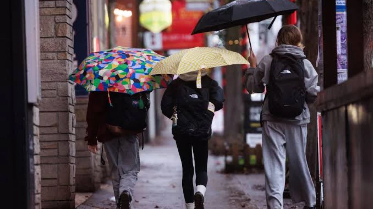
The arrival of the weekend will bring a more active and damp weather system across western Washington. According to reports from the FOX 13 Seattle Weather Team, Saturday will experience widespread showers throughout the region, dampening outdoor activities and dropping daytime high temperatures back down into the upper 60s.
The persistent morning and afternoon wet weather on Saturday marks a brief dip in regional temperatures before high pressure begins to reassert itself. Meteorologists emphasize that this system is fast-moving, meaning that the wet conditions will not linger indefinitely into the latter half of the weekend.
When will drier and milder weather return to western Washington?
Relief from the weekend moisture is already on the horizon. As reported by FOX 13 Seattle, drier and increasingly milder weather is scheduled to return on Sunday and Monday.
Sunday is anticipated to turn partly sunny, allowing temperatures to begin a modest rebound. Following suit, Monday will feature predominantly quiet, stable meteorological conditions, maintaining comfortable daytime highs in the low 70s as high pressure re-establishes its dominance over the Pacific Northwest weather pattern.
Are there any wildfire or air quality concerns in Washington state?
While residents in Seattle enjoyed generally good air quality on Friday, the broader state picture told a different story regarding fire safety and environmental conditions. According to data released by the National Weather Service and highlighted by FOX 13 Seattle, a Red Flag Warning was issued on Thursday for portions of north-central Washington—including the Okanogan Valley.
The warning was triggered by a combination of dry air and gusty winds, which created hazardous conditions capable of accelerating the rapid spread of wildfires in the region. Furthermore, FOX 13 Seattle noted that while Seattle’s immediate air remained clear, areas closer to ongoing fires experienced elevated concentrations of smoke, keeping emergency services and fire crews on high alert across eastern and north-central parts of the state.