Key Points
- A powerful storm system moving in from the Pacific Ocean is set to radically alter weather conditions across various parts of the western United States over the weekend.
- According to meteorological analysis published by El Cronista, the weather shift arrives against a backdrop of intense heat and low humidity, significantly amplifying environmental risks.
- Primary impact zones include Washington, Oregon, Northern California, and regions extending southeast toward Texas.
- Specific regional forecasts highlight storm activity and potential overnight rain in the Seattle area of Washington.
- In Oregon, dry thunderstorms pose an escalated threat of triggering new wildfires. El Cronista
- Northern California—particularly areas near mountain regions, the eastern slopes of the Cascades, the Siskiyous, and the northern Sierra Nevada—faces severe wind and storm exposure.
- Weather specialists at AccuWeather emphasize that the primary danger over the coming hours is not widespread heavy precipitation, but rather dry lightning strikes and strong wind gusts capable of carrying embers and igniting vegetation.
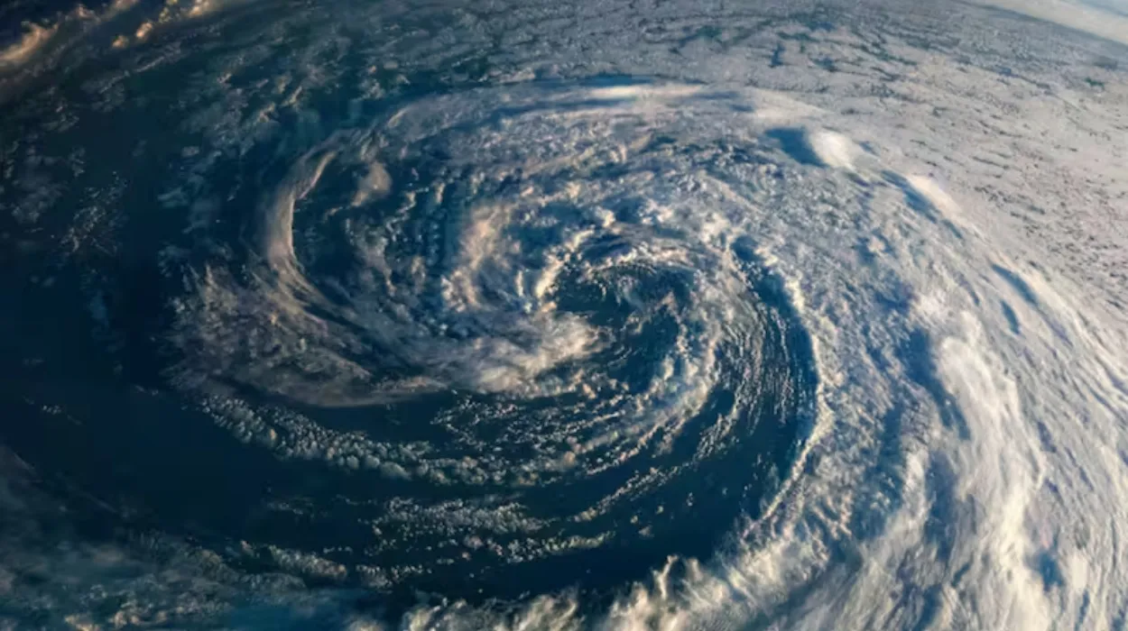
Washington (Evening Washington News) August 22, 2026 – A robust and fast-moving weather system originating from the Pacific is sweeping across the western half of the United States, bringing an abrupt transformation to regional meteorological patterns characterized by high-velocity winds, lightning activity, and localized heavy downpours.
Meteorological institutions and forecasting bodies, including insights highlighted by El Cronista, indicate that this severe atmospheric disturbance is colliding with an existing environment defined by persistent high temperatures and critically low humidity levels.
This dangerous convergence creates an optimal recipe for hazardous storm cell generation, threatening communities and wildlands alike across multiple states from the Pacific Northwest down through California and stretching southeastward into Texas.
Which regions are most at risk from the incoming Pacific storm?
As detailed in reports by meteorological experts at AccuWeather and covered extensively by El Cronista, the storm system is targeting several distinct geographic corridors across the western United States. The core areas experiencing the highest concentrations of atmospheric instability include Washington state, Oregon, Northern California, and extensive terrain stretching all the way toward Texas.
In Washington, forecasters have tracked active storm cells bringing heavy cloud cover and potential overnight rainfall, particularly concentrating around the densely populated Seattle metropolitan area. Meanwhile, the situation in neighbouring Oregon presents a starkly different and more perilous hazard profile. As outlined by El Cronista, Oregon is bracing for a wave of dry thunderstorms that threaten to dramatically increase the risk of new wildfire outbreaks across parched local ecosystems.
Explore More Weather News
Fire Weather Watch Issued for Eastern Whatcom County, 2026
Seattle Weather: Afternoon Sunshine and Highs in the 70s, Seattle 2026
Why are dry thunderstorms and winds causing heightened concern in California and Oregon?
The core threat associated with this weekend weather event centres less on traditional, soaking precipitation and much more on the phenomenon of dry or low-rain lightning activity. According to specialized breakdowns from AccuWeather cited via El Cronista,
“the risk in the next few hours is not centered on precipitation, but on those storms that produce little rain and can cause lightning, capable of sparking fires in areas with dry vegetation.”
Compounding this lightning hazard are severe wind gusts sweeping across vulnerable high-elevation corridors. El Cronista reported that the windiest conditions are expected along the eastern slopes of the Cascades, the Siskiyous, and the northern Sierra Nevada, as well as rugged terrain throughout Northern California. Weather professionals warn that these powerful winds pose a dual threat: not only can they directly batter structures and snap tree branches, but they can also aggressively carry burning embers far away from any original source, instantly sparking new and uncontrollable wildfires in bone-dry brush.
How are emergency services and local communities responding to the severe weather alert?
With special alerts officially in place for lightning and high winds throughout the weekend, emergency response agencies across Washington, Oregon, California, and Texas have urged residents to remain highly vigilant. Local authorities are closely monitoring real-time radar updates provided by forecasters like AccuWeather, as distributed through reporting channels such as El Cronista.
Citizens residing in wildfire-prone zones, mountain foothills, and rural expanses near the Cascades and Sierra Nevada have been advised to clear defensible space around properties, secure loose outdoor items that could catch strong wind gusts, and prepare for potential power disruptions or sudden travel hazards. As the system continues its progression across the western landscape, meteorologists will maintain continuous tracking to issue immediate warnings for any flash flooding or rapidly developing fire starts.