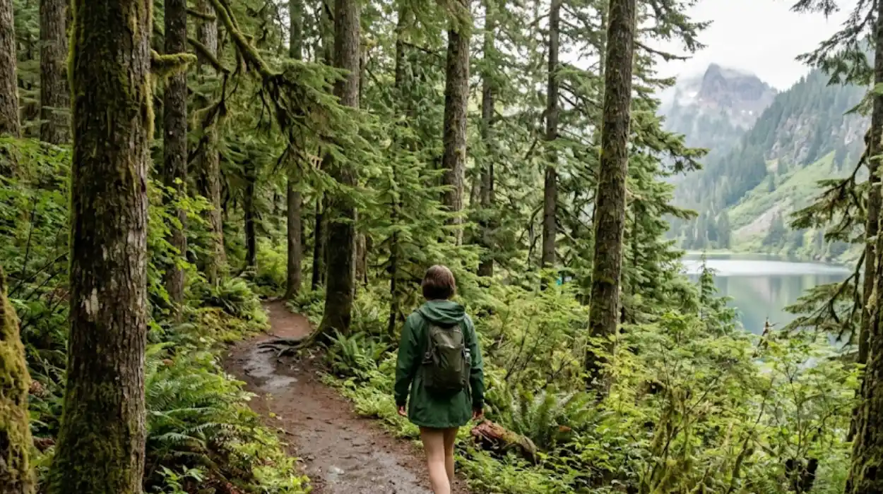
Secret hiking trails in Washington State are lesser-known footpaths offering solitude, diverse landscapes, and unique geological or ecological features outside crowded destinations. These trails span alpine lakes, volcanic terrain, old-growth forests, and shrub-steppe deserts across the state. They provide hikers opportunities for immersion in Washington’s natural beauty without the congestion of popular routes like Mount Rainier’s Skyline Trail or the Olympic National Park’s Hoh River Trail.
- What defines a secret hiking trail in Washington State?
- Why do hikers seek secret trails over popular routes?
- Where are the best regions to find hidden hiking trails in Washington?
- Which specific trails qualify as Washington’s most secretive hikes?
- How do seasonal conditions affect access to secret trails?
- What preparation is essential for hiking Washington’s hidden trails?
- What ecological or geological features distinguish secret Washington trails?
- How do permit requirements apply to secret hiking trails?
- What safety risks are unique to lesser-known Washington trails?
- How can hikers contribute to preserving secret trail integrity?
- What role do secret trails play in Washington’s outdoor recreation economy?
- How do secret trails compare to Washington’s designated National Scenic Trails?
- What future developments threaten or protect Washington’s secret trails?
What defines a secret hiking trail in Washington State?
A secret hiking trail in Washington State is a publicly accessible route with minimal visitor traffic, often omitted from mainstream guidebooks and digital platforms. These trails lack extensive signage, parking infrastructure, or marketing. They typically require greater navigational skill or physical effort, deterring casual hikers. Secret trails prioritize ecological integrity and solitude over convenience.
Secret hiking trails exist across Washington’s varied geographies. Examples include Lake Ingalls in the Alpine Lakes Wilderness, Pyramid Mountain in the Pasayten Wilderness, and the Chain Lakes Loop near Mount Baker. These routes avoid the high-volume corridors of Interstate 90 or Highway 2. Trail conditions vary from well-maintained dirt paths to rugged, unmaintained tracks requiring route-finding.
The Washington Trails Association (WTA) reports that most hikers concentrate on 20–30 popular routes annually. This clustering leaves hundreds of scenic trails underutilized. Secret trails often lie within national forests, state parks, or wilderness areas with limited promotional outreach. Access may require unpaved road travel or seasonal permissions.
Why do hikers seek secret trails over popular routes?
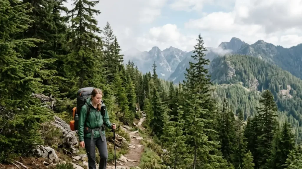
Hikers seek secret trails over popular routes to experience solitude, reduce environmental impact, and engage with undisturbed natural settings. Crowded trails degrade ecosystems through soil erosion, wildlife disturbance, and litter accumulation. Secret trails distribute recreational pressure more evenly across landscapes.
Solitude enhances psychological restoration. Studies link low-density natural environments to reduced stress and improved cognitive function. Secret trails in locations like Silver Star Scenic Area or Federation Forest State Park offer quiet immersion without group noise or trail congestion. These settings support mindfulness and deeper nature connection.
Environmental stewardship motivates some hikers. Concentrated foot traffic accelerates trail degradation. Popular destinations like Rattlesnake Ledge or Mount Si exhibit visible wear. Secret trails like those in Tiger Mountain State Forest or Grovers Creek Park sustain lower impact per acre. This dispersion aligns with Leave No Trace principles.
Where are the best regions to find hidden hiking trails in Washington?
The best regions to find hidden hiking trails in Washington include the North Cascades, Olympic Peninsula periphery, Mount St. Helens National Volcanic Monument, and eastern shrub-steppe reserves. These areas combine accessibility with low visitor density.
The North Cascades host trails like Heliotrope Ridge near Mount Baker and Hidden Lakes in the Pasayten Wilderness. These routes traverse alpine meadows, glacial valleys, and volcanic ridges. The Olympic Peninsula’s lesser-visited sectors include coastal bluffs near Cape Flattery and inland rainforest paths outside Olympic National Park’s core.
Mount St. Helens National Volcanic Monument contains overlooked trails like Lava Canyon and Coldwater Lake loops. These paths showcase post-eruption ecological recovery and volcanic geology. Eastern Washington’s shrub-steppe preserves, such as Hanford Reach National Monument, offer desert-like hikes with white chalk bluffs and Columbia River views.
Which specific trails qualify as Washington’s most secretive hikes?
Washington’s most secretive hikes include Lake Ingalls, Pyramid Mountain, Chain Lakes Loop, Stegosaurus Butte, and Hanford Reach’s White Bluffs trail. These trails combine scenic reward with low visitation.
Lake Ingalls lies in the Alpine Lakes Wilderness. The 12-mile roundtrip hike gains 3,000 feet elevation. It features larch forests, mountain goats, and turquoise alpine waters. Pyramid Mountain in the Pasayten Wilderness offers 7-mile access to 360-degree views. Wildflower meadows bloom in July with paintbrush, lupine, and aster.
Chain Lakes Loop near Mount Baker spans 6 miles through alpine basins. It passes six named lakes with Mount Baker and Mount Shuksan vistas. Stegosaurus Butte near Snoqualmie Pass delivers steep, sub-2-mile ascent to panoramic viewpoints. Hanford Reach’s White Bluffs trail provides 7 miles through shrub-steppe with 500 feet elevation gain to 725-foot summits overlooking the Columbia River.
How do seasonal conditions affect access to secret trails?
Seasonal conditions dictate secret trail accessibility through snowpack, road closures, fire risk, and wildlife activity patterns. Most high-elevation routes open only between July and October.
Snow lingers in the North Cascades and Alpine Lakes Wilderness until mid-July. Trails like Lake Ingalls and Hidden Lakes remain impassable before then. Early season hikers face stream crossings swollen with meltwater. Avalanche debris may block routes into August in some years.
Eastern Washington’s shrub-steppe trails like Hanford Reach close during peak fire season, typically August and September. Winter snow rarely blocks these low-elevation paths, but summer heat exceeds 100°F, requiring dawn starts. Coastal trails near Cape Flattery remain open year-round but face rain, wind, and tidal constraints.
What preparation is essential for hiking Washington’s hidden trails?
Essential preparation for hiking Washington’s hidden trails includes navigation tools, physical conditioning, emergency supplies, and route-specific research. These trails lack cell service, signage, and frequent rescues.
Navigation requires paper maps, compasses, and GPS devices. Digital apps like Gaia GPS or CalTopo function offline. Physical maps from the US Forest Service or Green Trails provide redundancy. Hikers must carry headlamps, first-aid kits, shelter, and extra food. Weather shifts rapidly in alpine zones.
Physical conditioning matches trail difficulty. Lake Ingalls demands 12-mile stamina with 3,000 feet climbing. Hanford Reach requires heat tolerance and hydration planning. Research includes checking WTA trail reports, recent user logs, and land manager alerts. Permits may apply in wilderness areas like Pasayten or Alpine Lakes.
What ecological or geological features distinguish secret Washington trails?
Secret Washington trails distinguish themselves through preserved ecosystems, rare flora, volcanic formations, and undisturbed wildlife habitats. These features attract specialized hikers and researchers.
Lake Ingalls supports subalpine larch forests, a rare conifer that turns gold in autumn. Mountain goats inhabit adjacent cliffs. Pyramid Mountain’s Pasayten location preserves old-growth ponderosa pine and Douglas fir stands untouched by logging. Lava Canyon displays 1980 Mount St. Helens mudflow scars and basalt columns.
Hanford Reach protects shrub-steppe, a biome covering less than 1% of North America. It hosts sage-grouse, pygmy rabbits, and endemic wildflowers. Chain Lakes Loop traverses volcanic cirques carved by Pleistocene glaciers. These features remain intact due to low visitor numbers and minimal infrastructure.
How do permit requirements apply to secret hiking trails?
Permit requirements apply to secret hiking trails based on land designation, with wilderness areas mandating self-issued or reserved permits year-round. Compliance ensures legal access and conservation funding.
The Alpine Lakes Wilderness requires self-issued permits at trailheads for overnight stays. Day hikes need no permit. Pasayten Wilderness mandates self-issued permits for all visitors. Mount St. Helens National Volcanic Monument requires paid permits for specific zones like Climbers Bivouac, but general hiking trails like Lava Canyon need no permit.
Hanford Reach National Monument charges no fee but enforces seasonal closures. State parks like Federation Forest require Discover Passes for vehicle entry. Wilderness permits prevent overcrowding and fund trail maintenance. Violations incur fines up to $500 under federal recreation fee statutes.
What safety risks are unique to lesser-known Washington trails?
Unique safety risks on lesser-known Washington trails include unmarked hazards, limited rescue access, wildlife encounters, and sudden weather exposure. These factors elevate self-reliance demands.
Unmarked trails lack maintained bridges, switchbacks, or erosion controls. Stream crossings become hazardous during snowmelt. Wildlife like black bears, cougars, and mountain goats inhabit remote zones. Hikers must store food properly and maintain distance.
Weather shifts rapidly above treeline. Hypothermia risks exist even in summer. Rescue response times exceed 24 hours in wilderness areas. Cell service is absent. Hikers must file trip plans with contacts and carry emergency communication devices like Garmin inReach or SPOT trackers.
How can hikers contribute to preserving secret trail integrity?
Hikers preserve secret trail integrity by practicing Leave No Trace ethics, reporting hazards, avoiding geotagging sensitive locations, and supporting land management agencies. Responsible use prevents degradation and closure.
Leave No Trace principles include packing out waste, staying on established paths, minimizing campfire impacts, and respecting wildlife. Geotagging photos on social media accelerates trail overcrowding. Hikers should omit exact coordinates in public posts.
Reporting erosion, blowdowns, or illegal activities to the US Forest Service or Washington State Parks aids maintenance. Volunteering with organizations like the Washington Trails Association supports trail crews. Donations fund signage, bridges, and educational outreach.
What role do secret trails play in Washington’s outdoor recreation economy?
Secret trails support Washington’s outdoor recreation economy by dispersing visitor spending, reducing congestion costs, and sustaining niche tourism operators. They complement high-traffic destinations.
Rural towns like Skykomish, Deming, and Othello benefit from hikers purchasing fuel, food, and lodging. These areas lack large attractions but gain steady income from trail users. Lodging providers market “solitude packages” targeting experienced hikers.
Congestion reduction saves infrastructure costs. Popular trailheads like Mount Si or I-90 corridor sites require expensive parking expansions and shuttle systems. Secret trails absorb overflow without capital investment. This dispersion sustains regional economic resilience.
How do secret trails compare to Washington’s designated National Scenic Trails?
Secret trails differ from Washington’s National Scenic Trails by lacking federal designation, standardized maintenance, and interpretive infrastructure, yet offering comparable scenic and ecological value. They serve alternative user needs.
The Pacific Crest Trail and Pacific Northwest National Scenic Trail traverse Washington with marked mileposts, registries, and maintained campsites. Secret trails like Lake Ingalls or Pyramid Mountain offer similar vistas without formal recognition. They lack mileage markers, water caches, or trail towns.
National Scenic Trails prioritize long-distance continuity. Secret trails focus on localized immersion. Both types contribute to Washington’s 12,000-mile trail network. Hikers often combine segments, using secret trails as side trips from main corridors.
What future developments threaten or protect Washington’s secret trails?
Future developments threaten secret trails through urban expansion, climate-driven fire regimes, and funding cuts, while conservation easements and volunteer stewardship offer protection. Outcomes depend on policy and community action.
Urban growth near Bellevue, Issaquah, and Snoqualmie pressures foothill trails like Tiger Mountain State Forest. Housing subdivisions fragment corridors. Climate change intensifies fire seasons, closing eastern trails like Hanford Reach for weeks annually.
Conservation tools include land trusts acquiring private inholdings and federal wilderness designations. The Washington Wildlife and Recreation Program funds trail maintenance. Volunteer groups like the Washington Native Plant Society monitor rare species along secret routes. Sustained advocacy ensures these trails remain accessible and ecologically intact.