Key Points
- The National Weather Service (NWS) has issued a fire weather watch for the west slopes of the North Cascades in eastern Whatcom County.
- The alert is effective from late Friday night, August 21, 2026, through Saturday evening, August 22, 2026.
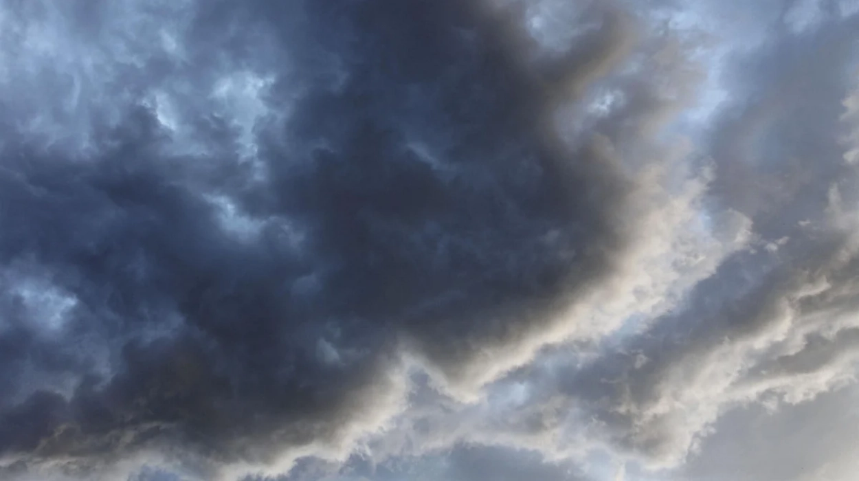
- Forecasters anticipate the potential for scattered thunderstorms and showers across the region, particularly in mountainous areas.
- There is a heightened risk that lightning, combined with existing dry conditions, could ignite new wildfires or amplify ongoing blazes.
- Residents are urged by officials to monitor local weather forecasts closely for the potential issuance of Red Flag warnings.
Whatcom County (Evening Washington News) August 21, 2026 – A fire weather watch has been officially issued for eastern Whatcom County, as regional authorities brace for a shift in weather patterns that could heighten the risk of wildfire activity across the North Cascades. The National Weather Service (NWS) alert, which covers the western slopes of the mountain range, spans from late Friday night, August 21, through the evening of Saturday, August 22. Meteorologists are warning of the potential for scattered thunderstorms and showers, noting that the combination of lightning and current dry conditions creates a volatile environment for fire ignition and spread.
Why has a fire weather watch been issued for eastern Whatcom County?
As reported by Jason Upton of My Bellingham Now, the National Weather Service has determined that environmental conditions in the high-elevation areas of Whatcom County necessitate heightened vigilance. The primary concern among forecasters is the arrival of scattered thunderstorms, which are expected to develop across the region from late Friday night through Saturday.
The risk is significantly exacerbated by the existing dryness in the region. According to the NWS, any lightning strikes that occur during this period have the potential to spark new wildfires. Furthermore, officials are concerned that the turbulent weather could amplify existing fires that may be burning in the backcountry.
What should residents in the affected area do to stay safe?
Local officials are emphasizing the importance of remaining informed as the weather situation evolves. As stated in the report by Jason Upton of My Bellingham Now,
“Residents are encouraged to monitor the forecasts for possible Red Flag warnings”.
A Red Flag warning would indicate that conditions are no longer merely watch-level, but that critical fire weather is imminent or currently occurring. Maintaining constant vigilance through official channels is the most effective way for community members to ensure they receive timely evacuation or safety instructions should the fire danger escalate.
Explore More Weather News
Seattle Weather: Afternoon Sunshine and Highs in the 70s, Seattle 2026
Western WA Smoke Clears Out in Seattle 2026
How does this weather event connect to recent regional environmental challenges?
The issuance of this fire weather watch is the latest in a series of environmental alerts affecting Whatcom County throughout August 2026. The region has experienced a summer defined by fluctuating air quality and persistent concerns regarding wildfire management.
Earlier in the month, as documented by My Bellingham Now, the county dealt with multiple instances of deteriorating air quality caused by a combination of local wildfires and smoke drifting from British Columbia and other parts of Washington state. For instance, on August 12, 2026, the National Weather Service issued a Red Flag warning for eastern Whatcom County due to gusty winds and lightning, followed by a fire weather watch.
Additionally, on August 4, 2026, the Northwest Clean Air Agency issued an air quality alert that lasted for several days, affecting communities from Deming eastward, due to wildfire smoke circulating from regional fires.
The ongoing nature of these alerts highlights the fragility of the regional climate this summer. As of August 22, 2026, other reporting by Dianna Hawryluk of My Bellingham Now indicates that smoke from British Columbia wildfires has continued to impact air quality in parts of Everson, Kendall, Sumas, and Maple Falls, reaching “unhealthy” levels in some areas.
What is the current status of wildfires in the region?
The fire weather watch comes at a time when fire crews have been actively managing various incidents throughout the summer. Earlier in the season, major blazes such as the Border 2 Fire, the Ptarmigan Fire, and others in the Cascades have required significant resources.
As reported by Dianna Hawryluk for My Bellingham Now on August 1, 2026, the Border 2 Fire near Ross Lake and the Luna Fire had already begun to challenge containment efforts. While there have been reports of significant progress on containment for fires like the Border 2 blaze, the instability of the weather—specifically the incoming thunderstorms—remains a complicating factor for fire management teams on the ground.
As the weekend progresses, the focus for both emergency services and the public remains on the NWS guidance. The convergence of lightning-heavy storm clouds and the dry fuels present in the eastern reaches of the Cascades remains the primary focus for regional authorities as they track the movement of the latest weather system.