Key Points
- Weekend Cleared for Summer Conditions: Morning low clouds across Western Washington are transitioning rapidly into clear afternoon sunshine.
- Mild Temperatures Present: Saturday afternoon temperatures are hovering comfortably in the mid-to-upper 70s across the Seattle metro area.
- Severe Heat Threat Pending: A robust high-pressure system will move into the Pacific Northwest early next week, driving temperatures into the mid-80s and low 90s.
- Escalating Wildfire Danger: The incoming protracted dry spell, coupled with spiking temperatures, has triggered elevated regional wildfire risks.
- Absence of Precipitation: Extended meteorological models show zero direct precipitation chances for the Western Washington interior over the next week.
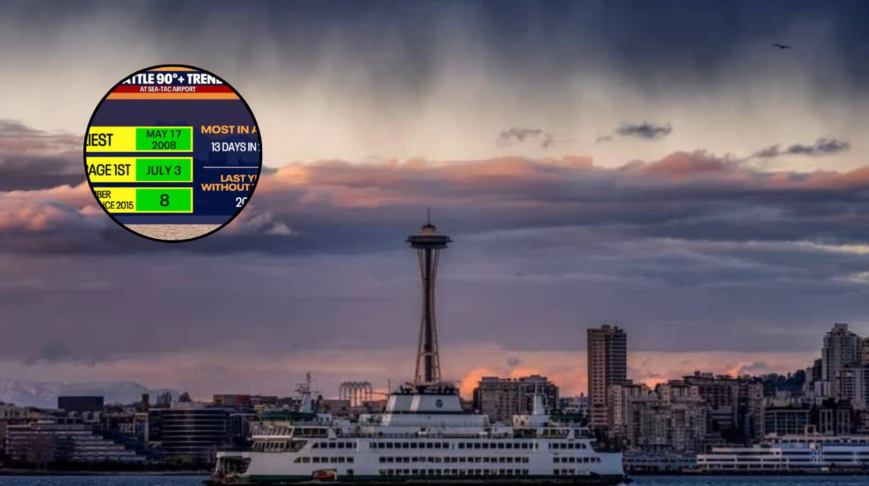
Seattle (Evening Washington News) July 18, 2026 — The Pacific Northwest is experiencing a brief period of climatic moderation before an intense atmospheric shift takes hold. As reported by meteorologists Claire Anderson and Abby Acone of FOX 13 Seattle, an upper-level low-pressure system that previously generated unstable storm conditions across the region is slowly moving eastward. This shift allowed extensive morning cloud cover to quickly burn off by midday, opening the way for widespread afternoon sunshine and typical summer conditions across Western Washington, with localized high temperatures settling into the mid-to-upper 70s.
However, long-range tracking data indicates that this mild pattern will be short-lived. According to the FOX 13 weather team, a thermal trough and building high pressure are poised to shift inland early next week, forcing regional temperatures well above seasonal averages into the 80s and low 90s.
The impending heat spike, combined with a total absence of rain in the extended forecast, has prompted updated advisories regarding heightened wildfire dangers and human heat vulnerability across the urban corridor.
Will the Impending High-Pressure Ridge Trigger an Official Heat Wave in Western Washington?
As the current upper-level low vacates the state, the meteorological mechanics of the Pacific Northwest are transitioning toward a highly stable, hot pattern.
The current weekend regime offers a comfortable baseline, with the coastal zones remaining in the 60s, the Puget Sound lowlands hitting the upper 70s, and interior eastern spots like Wenatchee seeing immediate spikes into the 90s. Yet, it is the secondary system building behind this low that is drawing the focus of regional forecasters.
According to reports published by the FOX 13 Seattle weather desk, the arrival of a strong high-pressure ridge early next week will compress air descending over the Cascade Range, creating a thermal blanket that prevents standard marine cooling.
Anderson and Acone noted that this specific configuration will push urban thermometer readings into the upper 80s and low 90s by Tuesday and Wednesday.
The sudden swing from a storm-weakened low to an intense high pressure eliminates any chance of precipitation, leaving the region entirely dry during the hottest stretch of the month.
How Are Municipalities and Environmental Agencies Responding to the Escalating Wildfire Risks?
With zero rain projected over the standard seven-day meteorological window, state environmental agencies are monitoring fuel moisture levels closely.
The combination of accelerating summer heat and sustained dry conditions significantly lowers the ignition threshold for brush and timber across Western Washington.
The Washington State Climate Office has previously detailed in its regional outlook summaries that the broader summer pattern for the state leans heavily toward elevated chances of warmer-than-normal conditions alongside below-average rainfall.
This macro-trend exacerbates short-term heat events, forcing local fire districts to reinforce burn bans and restrict outdoor operations.
Public safety teams are urging residents to exercise extreme caution with trailers, outdoor equipment, and campfires, noting that the grass fuels in the lowlands have completely cured and are susceptible to rapid fire spread under high-temperature conditions.
Background of the Weather Development
The rapid oscillation between wet, unstable low-pressure systems and oppressive high-pressure ridges is a hallmark of mid-summer weather patterns in the Pacific Northwest, though it has been intensified by larger global factors.
Climatological summaries from the University of Washington’s State Climate Office show that the region transitioned rapidly away from its past winter La Niña phase into a well-defined, strengthening El Niño pattern in the tropical Pacific.
Historically, while ENSO (El Niño-Southern Oscillation) signals exert their primary influence on Pacific Northwest winters, a developing summer El Niño frequently correlates with atmospheric ridging over the western United States.
This setup effectively blocks the standard track of cool, moist storms originating in the Gulf of Alaska, deflecting them northward into British Columbia.
Consequently, Western Washington becomes highly susceptible to prolonged dry spells and sudden, compressed heat events when continental air masses push westward toward the coast.
The current transition from a storm-producing upper-level low to a baking high-pressure ridge is a direct manifestation of this blocked, highly stable summer flow.
Prediction and Impact Analysis
The upcoming shift to sustained 90-degree temperatures early next week will have immediate, measurable impacts on the population of Western Washington, a demographic that remains uniquely vulnerable to sudden heat spikes.
Because a significant percentage of residential properties in the Seattle metropolitan area historically lack central air conditioning, a multi-day stretch of temperatures climbing into the 90s poses a direct threat to public health.
Vulnerable residents—particularly the elderly, young children, and outdoor labourers—will face heightened risks of heat exhaustion and heatstroke.
Emergency management services are expected to activate localized cooling centres to mitigate the impact of overnight low temperatures that are forecast to remain elevated in the upper 50s and low 60s, preventing homes from naturally cooling down at night.
Regional agricultural sectors, specifically berry and soft-fruit growers in the Skagit and Snohomish valleys, will have to alter harvesting schedules to early morning hours to protect crops from sunscald and prevent worker heat illness.
Simultaneously, the regional electrical grid managed by local utilities will experience sharp surges in demand as residential portable AC units and commercial cooling systems draw maximum power, testing infrastructure resilience during peak afternoon hours.
Furthermore, the lack of rain will compress the fire weather timeline. If local ignitions occur during the height of the heat event, communities adjacent to forested areas face potential evacuation protocols.
Additionally, the prevailing high pressure could trap localized smoke from regional fires or draw in smoke from active blazes in Eastern Washington, leading to subsequent air quality degradation across the Puget Sound basin later in the week.