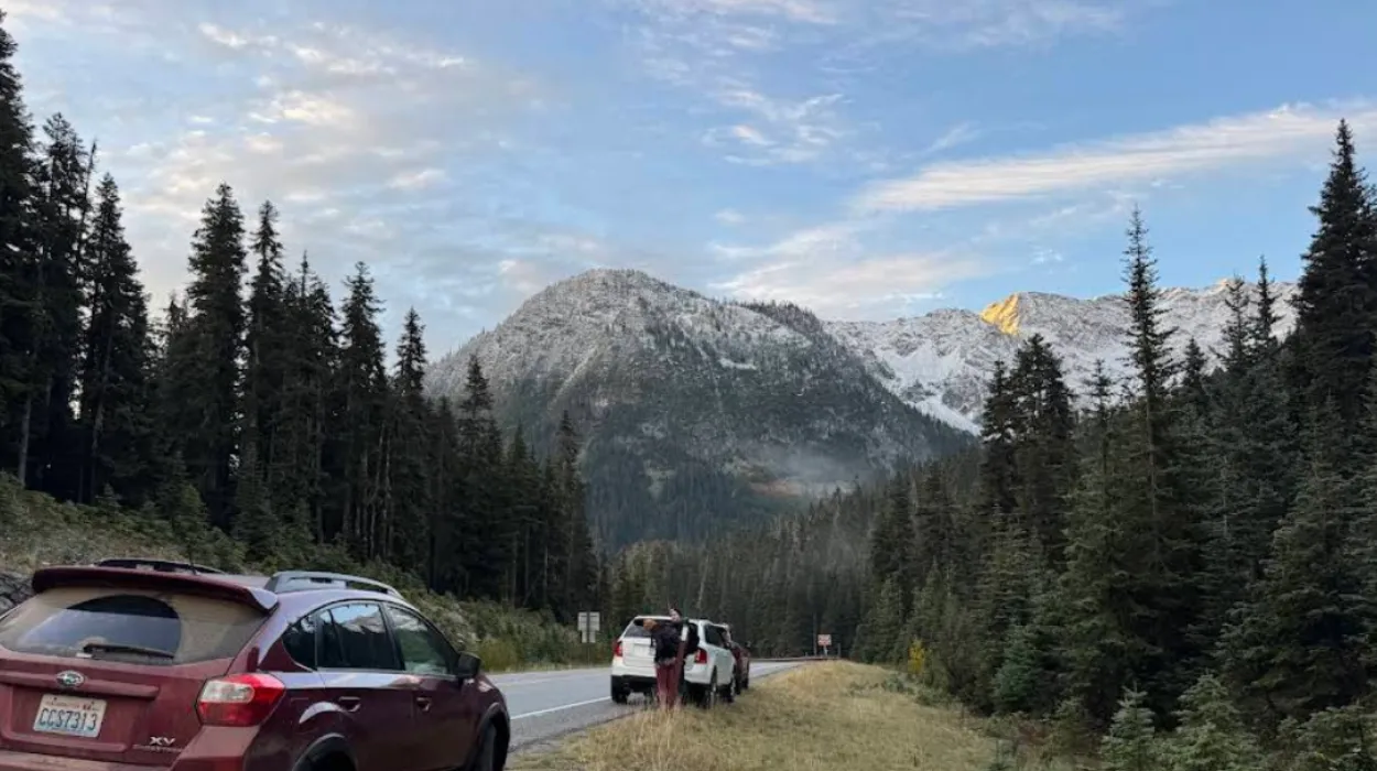
The Cascade Loop is a 440-mile Washington road trip that circles from Puget Sound through the North Cascades, Lake Chelan, the Methow Valley, and Whidbey Island. It is one of the most complete scenic drives in the state because it combines mountains, lakes, forests, ferries, and small towns in one loop.
- What is the Cascade Loop road trip?
- Where does the Cascade Loop go?
- Why is the Cascade Loop famous?
- When is the best time to drive it?
- How long does the drive take?
- What are the main stops?
- How do you plan the route?
- What road conditions matter most?
- What can travelers do along the route?
- Why does the route matter for Washington?
- What should first-time drivers know?
What is the Cascade Loop road trip?
The Cascade Loop road trip is a circular driving route in Washington that connects coastal, mountain, river, lake, and island landscapes. It begins near Puget Sound, crosses the Cascade Range, moves through eastern Washington, and returns to the west side through Whidbey Island.
The route is designed as a scenic byway experience rather than a single highway drive. It includes major travel areas such as the North Cascades Highway, Lake Chelan, the Methow Valley, and the Skagit Valley. That makes it a broad Washington travel route with strong appeal for road trippers, hikers, photographers, and general visitors.
Where does the Cascade Loop go?
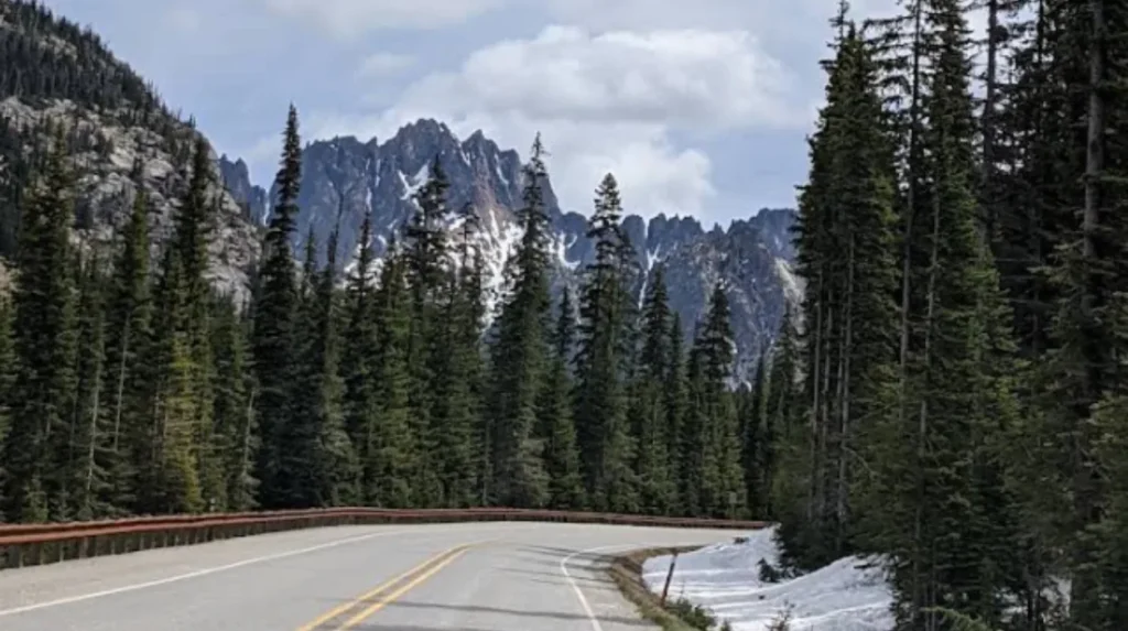
The loop travels through western Washington, the North Cascades, eastern mountain towns, lake country, and island communities. A typical route passes through the Seattle region, the Snohomish River valley, the Cascades, the Wenatchee area, Lake Chelan, Winthrop, and Whidbey Island.
The route also includes ferry travel on the western end. Many travelers finish the loop with a crossing between Coupeville and Port Townsend, then return through the mainland road network. The exact sequence changes depending on where the trip starts, but the full loop always connects these major regions.
Why is the Cascade Loop famous?
The Cascade Loop is famous because it delivers a large variety of Washington scenery in one trip. Travelers see alpine peaks, glacier-fed lakes, old-growth forests, farmland, river valleys, and ocean-influenced shoreline without leaving the state.
North Cascades Highway is one of the biggest reasons the route stands out. It crosses dramatic mountain terrain and gives access to some of the most scenic driving in Washington. Towns like Leavenworth and Winthrop also add strong identity, while Deception Pass and Whidbey Island add a coastal finish.
When is the best time to drive it?
The best time to drive the Cascade Loop is late spring through early fall. That period offers the most reliable road access, the best weather for hiking and sightseeing, and the widest range of open attractions.
The mountain section is seasonal. Snow, ice, and avalanche risk affect the North Cascades Highway in winter and early spring, so many travelers plan the loop for summer or early autumn. Shoulder seasons are quieter, but the weather becomes less predictable.
How long does the drive take?
The Cascade Loop can be driven in one day, but that does not work well for most travelers. A realistic trip takes three to five days, and longer itineraries allow better time for hiking, scenic stops, town visits, and ferry scheduling.
The full route covers roughly 440 to 450 miles depending on the stops you choose. A multi-day trip gives you time to enjoy the major locations instead of rushing through them. That is especially important for North Cascades Highway, which has many viewpoints and trailheads along the way.
What are the main stops?
The main Cascade Loop stops include the North Cascades, Leavenworth, Lake Chelan, the Methow Valley, Skagit Valley, Deception Pass, and Whidbey Island. Each stop brings a different travel experience and adds a distinct landscape to the route.
North Cascades National Park is the alpine centerpiece. Leavenworth adds a mountain-town atmosphere. Lake Chelan brings lake recreation and views. Winthrop and Twisp add eastern Washington character. Deception Pass and Whidbey Island add shoreline scenery and bridge views near the end of the route.
How do you plan the route?
The best way to plan the Cascade Loop is to divide it into sections. A simple structure is west side, mountain crossing, east side, and return route. That makes it easier to choose overnight stops and reduce backtracking.
The mountain portion should be planned around weather and road conditions. The ferry portion should be timed in advance so you do not lose hours waiting. Most travelers do best when they lock in lodging before departure and build a flexible driving schedule around the longest scenic stretches.
What road conditions matter most?
Road conditions matter most on the North Cascades Highway. This section is the most sensitive to snow, closures, and seasonal delays, and it is the part of the loop most likely to change travel plans.
Travelers should also expect long stretches with limited services in some areas. Fuel, food, and lodging are easier to find in larger towns, so it helps to top up before entering the mountain section. Checking conditions before departure is essential for a smooth trip.
What can travelers do along the route?
Travelers can hike, drive scenic overlooks, visit state parks, camp, explore small towns, and take ferry crossings as part of the trip. The Cascade Loop works well for both active outdoor travel and relaxed sightseeing.
North Cascades National Park is ideal for trails and viewpoints. Deception Pass State Park offers shoreline walks, bridges, cliffs, and forest scenery. Lake Chelan and the Methow Valley work well for boating, walking, and town exploration. Leavenworth adds dining and shopping, while Whidbey Island offers a calmer coastal finish.
Why does the route matter for Washington?
The Cascade Loop matters because it shows how geographically diverse Washington is. In one drive, travelers experience mountain passes, river valleys, a national park corridor, lake country, and island shoreline.
It also serves as one of the state’s strongest road trip identities. The route is easy to explain, easy to market, and easy to remember. That makes it useful for first-time visitors and repeat travelers who want a broad Washington experience without leaving the region.
What should first-time drivers know?
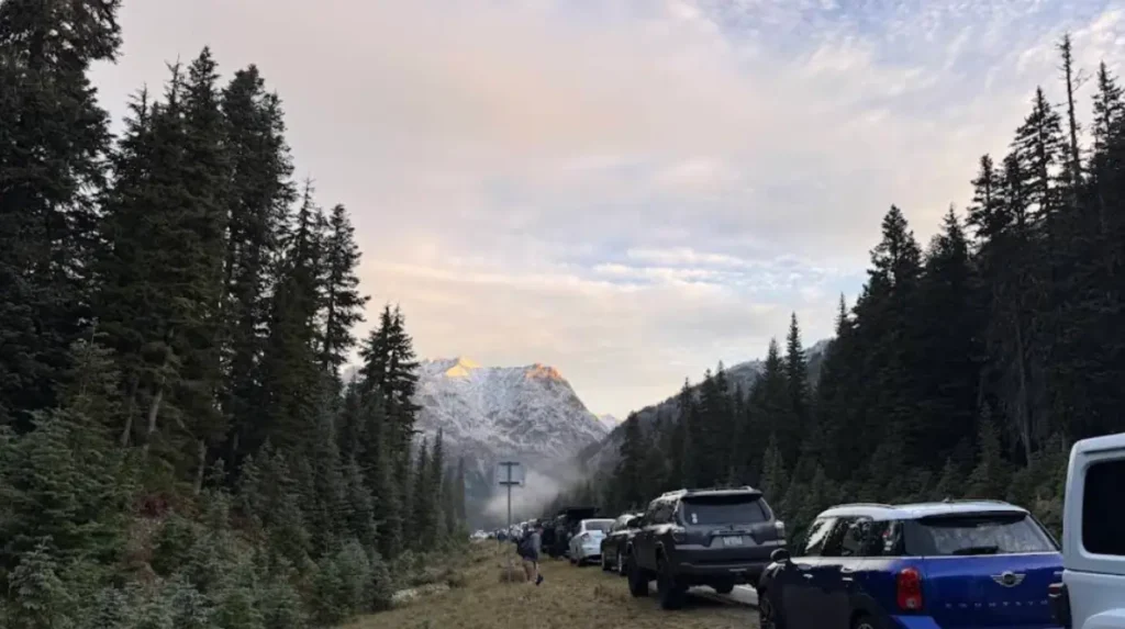
First-time drivers should know that the Cascade Loop is best treated as a multi-day scenic route, not a quick drive. The trip works better when the schedule includes time for weather, traffic, ferry timing, and spontaneous stops.
The route also changes by season. Summer offers the easiest travel conditions, while spring and fall add more uncertainty but fewer crowds. Drivers should also expect that the best parts of the route come from the combination of road, landscape, and town stops rather than from any single destination.
The Cascade Loop remains one of Washington’s most complete evergreen road trips because it combines clear route structure, strong scenery, and year-round search interest. For travelers, it is a full-state experience. For publishers, it is a durable topic with strong relevance across road trip, tourism, and Washington travel searches.
What is the Cascade Loop in Washington?
The Cascade Loop Scenic Highway is a scenic road trip of approximately 440 miles that circles through western and central Washington, connecting mountain passes, lakes, forests, small towns, and coastal communities.