Key Points
- A potential super El Niño could intensify summer and autumn weather in the Washington, DC area.
- Chief Meteorologist Veronica Johnson of 7News said a normal El Niño already affects storms, heat, rainfall, hurricanes and intensity.
- Forecasts suggest more humidity, higher heat index warnings and heavier downpours from mid-to-late summer into autumn.
- The pattern is linked to warming Pacific waters that can alter upper-level wind patterns and shift the jet stream.
- The story points to possible disruption to daily routines and beach travel, especially during the hottest months.
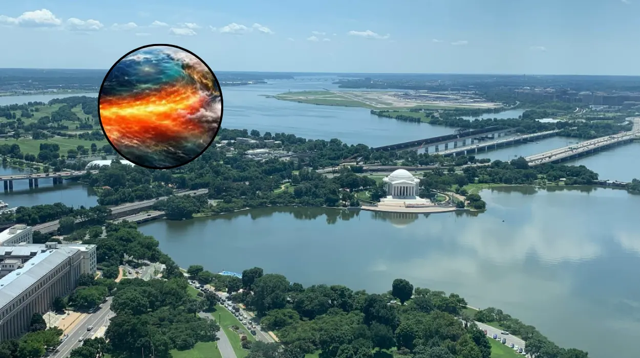
Washington, DC (Evening Washington News) May 16, 2026 — 7News reported that a potential super El Niño could bring more extreme summer and autumn weather to the Washington area, with forecasts pointing to prolonged humidity, heavier rain events and more heat index warnings. As reported by Veronica Johnson, 7News Chief Meteorologist, a normal El Niño already affects “storms and heat and rainfall and hurricanes and intensity,” and this year’s system could be unusually strong.
- Key Points
- What is a super El Niño and why does it matter?
- What did Veronica Johnson say about the forecast?
- How could Washington weather change?
- Why are ocean temperatures far away affecting local weather?
- What is the broader climate background?
- How should the story be read?
- Background of this development
- Prediction for Washington residents
What is a super El Niño and why does it matter?
El Niño is a climate pattern linked to warmer-than-normal waters in the equatorial Pacific Ocean, and it typically appears every two to seven years.
The warming changes upper-level wind patterns, which can ripple across the atmosphere and alter weather far from the Pacific basin.
In the Washington region, that can mean hotter, stickier conditions, stronger rain bursts and a greater chance of weather disruptions during summer and early autumn.
What did Veronica Johnson say about the forecast?
As reported by Veronica Johnson of 7News, “So, this year we’ve got a super El Niño,” reflecting concern that the pattern may be stronger than usual. She also said,
“Starting mid-to-late summer or this fall, we could be looking at long humid stretches, we could be looking at tropical feeling days as well as nights, and more heat index warnings to go along with those heavier rain events and downpours.”
Her comments tie the developing Pacific signal to the local expectations for uncomfortable heat and stormier intervals.
How could Washington weather change?
The likely impact for the Washington area is not just warmer temperatures, but more sustained humidity and a higher risk of downpours that can arrive suddenly and heavily.
That combination can raise the heat index, which often makes conditions feel more oppressive than the thermometer suggests.
Forecasters also say this could affect beach travel and other outdoor plans during mid-to-late summer, when heat and storms are already a concern.
Why are ocean temperatures far away affecting local weather?
The core driver is the warming of Pacific waters thousands of miles away, which changes the atmosphere above them.
Those changes can shift the jet stream and influence storm tracks, rainfall patterns and temperature swings in the United States. In simple terms, the Pacific is sending a weather signal that the East Coast can feel later in the season.
What is the broader climate background?
El Niño and its cooler counterpart, La Niña, are part of a recurring climate cycle that can reshape seasonal expectations across the globe.
The broader importance of the current forecast is that a stronger-than-usual El Niño can make local weather less predictable and more disruptive during periods when people expect stable summer conditions.
That is why weather desks often watch Pacific sea-surface temperatures closely even when the effects are expected far from the ocean itself.
How should the story be read?
The report does not describe a single storm event, but rather a developing climate pattern that may influence many weeks of weather.
That makes the story significant for residents, commuters, event planners and beach travellers in Washington, DC and nearby areas.
The main takeaway is that the region may need to prepare for a wetter, muggier, and more uncomfortable second half of summer than usual.
Background of this development
El Niño is a well-known Pacific Ocean climate pattern that can affect weather around the world by changing wind and storm behaviour.
It usually develops every two to seven years, though its strength and impacts vary from one cycle to another. In the Washington area, forecasters often watch for El Niño because it can alter rainfall, temperature and storm timing during the warmer months.
Prediction for Washington residents
For residents in Washington, DC, the most likely effect is a summer and autumn with more humid stretches, more heat alerts and heavier rain episodes that may interrupt travel, outdoor events and daily routines.
The pattern could also increase the need for flexible planning, especially for those working outdoors, commuting in peak heat or heading to beaches and regional getaways. The forecast does not guarantee severe weather every day, but it does suggest a season in which uncomfortable and stormy conditions may be more frequent than normal.