Key Points
- Western Washington is experiencing a shift from heavy morning cloud cover and patchy drizzle to clearer afternoon sunshine.
- A rare summer storm system on Thursday brought the first measurable rainfall of July to Seattle, accompanied by more than 1,000 recorded lightning strikes across the region.
- An upper-level low-pressure system is slowly moving eastward, clearing the way for a multi-day warming trend.
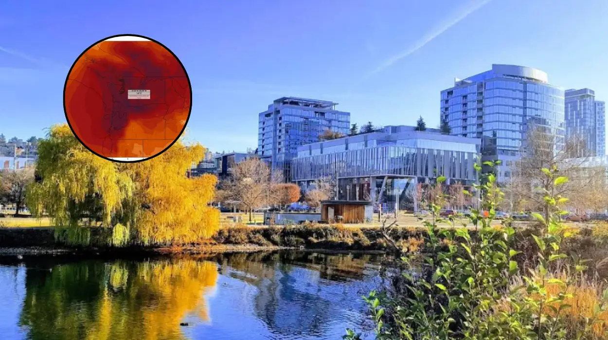
- Temperatures are expected to climb steadily over the weekend, with highs forecasted to reach the 80s and potentially the low 90s by early next week.
Seattle (Evening Washington News) July 17, 2026 – Western Washington residents are transitioning from damp, overcast conditions to clear skies on Friday as a slow-moving upper-level low-pressure system shifts eastward out of the region. The meteorological shift follows a volatile weather event on Thursday, which delivered Seattle’s first measurable rainfall for the month of July and triggered an intense electrical storm featuring more than 1,000 lightning strikes across the Pacific Northwest.
- Key Points
- What Caused The Intense Lightning Storms Across Seattle On Thursday?
- How Rare Is Measurable July Rainfall For The Seattle Metropolitan Area?
- What Can Western Washington Residents Expect From The Weekend Weather Forecast?
- When Will The Peak Summer Heat Arrive?
- Background: Why Are Summer Lightning Events Drawing Increased Scrutiny In The Pacific Northwest?
- Prediction: How Will This Rapid Warming Trend Affect Local Communities And Public Infrastructure?
According to regional tracking data, the clearing trend observed on Friday afternoon marks the beginning of a prolonged dry spell that will see temperatures climb well above seasonal averages over the coming days.
As documented by regional meteorologists, the remnants of the upper-level low produced widespread patchy drizzle and thick marine layers across the Puget Sound lowlands during the early morning hours of Friday.
However, as the atmospheric pressure began to stabilise, these low-hanging clouds commenced a gradual retreat toward the mountains, revealing clear blue skies by afternoon.
This transition establishes a stable weather pattern across the region, effectively bringing an end to the unseasonal atmospheric instability that characterised the middle of the week.
What Caused The Intense Lightning Storms Across Seattle On Thursday?
The severe weather experienced by western Washington on Thursday was driven by a strong upper-level low-pressure system migrating across the Pacific Northwest.
This system introduced significant atmospheric instability and elevated moisture levels into a region that typically experiences its driest weeks of the year during mid-summer.
As reported in the local meteorological briefs, the collision of warm surface temperatures with cooler air aloft created prime conditions for convective storm development.
The primary consequence of this system was the generation of more than 1,000 lightning strikes, which illuminated the skies across western Washington and the Cascade Mountains.
This high volume of electrical activity caused immediate concern among regional authorities regarding potential power disruptions and the ignition of spot fires.
Alongside the lightning, the system produced rapid, heavy downpours that disrupted outdoor activities and daily commutes throughout the metropolitan area.
How Rare Is Measurable July Rainfall For The Seattle Metropolitan Area?
July is historically noted as the driest month of the year for western Washington, with prolonged periods of zero precipitation being the statistical norm.
The rainfall recorded during Thursday’s storm system represents the very first measurable precipitation in Seattle for July 2026.
Prior to this event, regional weather stations had recorded only trace amounts or entirely dry days since the start of the month.
According to data compiled by regional climate trackers, the sudden downpour briefly overwhelmed urban drainage systems, though no severe flooding was reported.
The arrival of measurable rain during this specific timeframe provides temporary relief to local vegetation, which has been drying out under typical summer conditions, though meteorologists note that the brief nature of the storm means it will have a negligible impact on long-term seasonal moisture deficits.
What Can Western Washington Residents Expect From The Weekend Weather Forecast?
As the upper-level low-pressure system successfully completes its eastward trajectory through Saturday, a robust high-pressure ridge is projected to build over the Pacific Northwest.
This atmospheric transition will result in a rapid reduction of cloud cover and a steady escalation of daily maximum temperatures.
For Saturday and Sunday, weather models indicate completely clear conditions with daytime highs climbing comfortably into the 80s across the interior lowlands.
When Will The Peak Summer Heat Arrive?
The warming trend is forecasted to intensify significantly by the early portion of next week. Meteorologists caution that Monday and Tuesday could see the mercury approach or exceed the low 90s in certain microclimates away from the immediate sound.
This sharp escalation in temperature will be paired with low relative humidity and minimal wind, signaling the arrival of the most sustained period of summer heat observed so far this season.
Background: Why Are Summer Lightning Events Drawing Increased Scrutiny In The Pacific Northwest?
The occurrence of summer lightning storms in western Washington has become an area of escalating focus for climate scientists, emergency management agencies, and forestry officials.
Historically, the marine climate of the Puget Sound keeps summer conditions relatively stable, cool, and dry, with convective lightning storms being far more common east of the Cascade Mountains. When these systems do cross into western Washington during July or August, they pose distinct operational risks due to the unique environment of the region.
Over the past decade, the convergence of shifting upper-air wind patterns and warmer coastal waters has occasionally permitted unstable air masses to push further west than usual.
The primary hazard associated with these events is “dry lightning”—where precipitation evaporates before reaching the ground, leaving electrical discharges to strike dry forest canopies.
While Thursday’s system did bring measurable rainfall that helped mitigate immediate ignition risks, the sheer volume of over 1,000 lightning strikes required rapid deployment of aerial and ground monitoring systems to scan the Cascades and Olympics for hidden smouldering fires. Furthermore, urban infrastructure in Seattle, which is not structurally optimized for frequent electrical storms, experiences higher rates of localized grid strain during these unexpected events.
Prediction: How Will This Rapid Warming Trend Affect Local Communities And Public Infrastructure?
The rapid shift from damp, overcast conditions to temperatures approaching the 90s early next week is expected to have an immediate impact on the general public, local agriculture, and regional infrastructure across western Washington.
- Public Health and Home Comfort: Because the Seattle metropolitan area historically features a lower percentage of homes equipped with central air conditioning compared to national averages, a sudden spike into the low 90s presents a notable heat management challenge. Vulnerable populations, including the elderly and those without adequate cooling systems, will face elevated risks of heat-related discomfort, likely prompting municipalities to monitor the need for community cooling spaces.
- Recreational Water Safety: The return of hot, sunny weather over the weekend will inevitably draw thousands of residents to local bodies of water, such as Lake Washington, Lake Union, and the Puget Sound. Emergency services anticipate a significant surge in water recreation, which statistically correlates with an increase in water safety incidents. Furthermore, authorities warn that despite high air temperatures, deep water temperatures in the region remain deceptively cold, increasing the risk of cold-water shock for unprepared swimmers.
- Environmental and Wildfire Risks: While Thursday’s rain provided a brief surface dampening, the consecutive days of hot, dry weather forecasted for next week will quickly evaporate that moisture. The combination of high heat, intense solar radiation, and drying vegetation will rapidly elevate the regional fire danger index, placing fire crews on high alert following the extensive lightning strikes recorded across the state.