Key Points
- Temperatures in Washington DC approach seasonal averages in the 70s on Monday, May 4, 2026, following a cooler-than-average weekend.
- Mostly sunny skies prevail with highs ranging from 73 to 77 degrees Fahrenheit.
- Southwest winds gust up to 20 mph, particularly in the evening, contributing to the warmup.
- Overnight lows barely dip below 60 degrees.
- Tuesday marks the warmest day with highs in the low to middle 80s, followed by increasing clouds Tuesday night.
- Rain begins early Wednesday morning west of the DC area, spreading east through the morning.
- Beneficial rains continue through Thursday, with totals from half an inch to one inch.
- Embedded thunder rumbles possible, but no severe weather expected.
Washington, DC (Evening Washington News) Monday May 4, 2026 —
- Key Points
- What is the DC Weather Forecast for Monday, May 4?
- Why Are Southwest Winds Driving the DC Warmup?
- How Warm Will Tuesday Get in Washington DC?
- When Does Rain Begin in the DC Area This Week?
- How Much Rain is Expected Through Thursday in DC?
- Is Thunder or Severe Weather Possible in DC This Week?
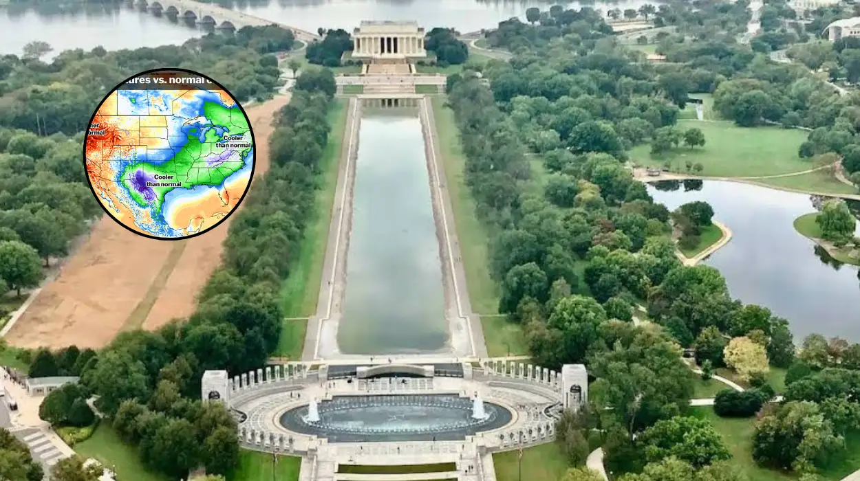
- What Made the Weekend Cooler Than Average in DC?
- How Do Winds Affect Evening Conditions in DC?
- What Overnight Temperatures Mean for DC Residents?
- Why is Tuesday Night Cloud Cover Increasing in DC?
- Background of the Development
- Prediction: How This Development Can Affect DC Residents
What is the DC Weather Forecast for Monday, May 4?
Washington, DC residents can expect a return to seasonable warmth on Monday after a cooler-than-average weekend.
As reported by 7News meteorologists, temperatures will finally approach seasonal averages in the 70s under mostly sunny skies, with highs ranging from 73 to 77 degrees Fahrenheit. This warmup comes thanks in part to southwest winds gusting up to about 20 mph, especially in the evening.
The warming trend persists even overnight, as temperatures barely dip below 60 degrees. This shift provides a welcome relief from recent cooler conditions, allowing for comfortable outdoor activities through the late afternoon and evening.
Why Are Southwest Winds Driving the DC Warmup?
The southwest winds, expected to gust up to 20 mph particularly in the evening, play a key role in elevating temperatures.
According to 7News weather coverage, these winds usher in milder air masses, pushing highs into the mid-70s across the DC metro area. Evening gusts could reach their peak around sunset, influencing conditions in urban and suburban zones alike.
This wind pattern aligns with broader mid-Atlantic weather dynamics, where high-pressure systems to the south facilitate the southerly flow.
Residents in areas like Arlington and Alexandria may notice the breeze most prominently due to their proximity to open spaces along the Potomac River.
How Warm Will Tuesday Get in Washington DC?
Tuesday will emerge as the warmest day of the week, with highs climbing into the low to middle 80s. 7News forecasts indicate this peak warmth before a transitional shift, as clouds quickly increase Tuesday night ahead of the next weather system.
The elevated temperatures will feel summery for early May, potentially prompting increased outdoor plans before the rain arrives. Humidity levels remain moderate during the day, keeping the heat index close to actual air temperatures.
When Does Rain Begin in the DC Area This Week?
Rain may begin early Wednesday morning west of the DC area, then spread east throughout the morning hours.
As detailed in the 7News update, this system approaches from the west, first impacting areas like Fairfax County and Loudoun before reaching the District proper.
The precipitation timing proves crucial for commuters, with morning showers likely to affect travel from Manassas eastward into the city. Visibility could reduce during peak hours, though accumulations remain light initially.
How Much Rain is Expected Through Thursday in DC?
Beneficial rains are expected through Thursday, with forecast rainfall ranging from half an inch to one inch across the region.
7News meteorologists note that these amounts will provide valuable moisture without widespread flooding risks.
Drier spots may see closer to half an inch, while heavier bands could deliver up to one inch in areas like Montgomery County or Prince George’s County. The steady nature of the rain supports garden growth and replenishes soil after recent dry spells.
Is Thunder or Severe Weather Possible in DC This Week?
A few embedded thunder rumbles are possible, but severe weather is not expected at this time. The 7News forecast emphasises that while isolated rumbles may occur within the rain shield, no organised thunderstorms or high winds are anticipated.
This assessment holds for the broader forecast period through Thursday, with shear and instability remaining too low for escalation. Residents need not prepare for intense storms, focusing instead on standard rain precautions.
What Made the Weekend Cooler Than Average in DC?
The preceding weekend featured cooler-than-average temperatures, setting the stage for Monday’s rebound.
7News attributes this to lingering effects of a frontal boundary that suppressed highs below seasonal norms, likely in the 60s.
Cloud cover and northerly winds contributed to the chill, contrasting sharply with the incoming southwest flow. This variability underscores the dynamic spring weather patterns common in the mid-Atlantic.
How Do Winds Affect Evening Conditions in DC?
Evening southwest winds gusting to 20 mph will enhance the warmup, potentially stirring lake effects on area waters. 7News highlights that these gusts peak after sunset, influencing outdoor events or boating activities.
In urban canyons downtown, the winds may channel through streets, creating noticeable breezes without posing safety concerns.
What Overnight Temperatures Mean for DC Residents?
Overnight lows barely dipping below 60 degrees signal a mild night, reducing heating needs. This warmth, per 7News, stems from the persistent southwest flow trapping heat near the surface.
Early morning fog risks remain low, ensuring clear starts to Tuesday.
Why is Tuesday Night Cloud Cover Increasing in DC?
Clouds will quickly increase Tuesday night ahead of the next weather-maker, as outlined by 7News. This precedes the western rain onset, blanketing the sky by midnight.
The overcast conditions temper Wednesday’s start, aligning with the rain’s eastward progression.
Background of the Development
This weather pattern traces back to a persistent upper-level trough over the central US, which cooled the weekend by drawing in cooler Canadian air. By Monday, a ridge builds over the Southeast, introducing the southwest winds and warmth noted in the 7News forecast. Seasonal averages for early May in DC typically hover around 70-75 degrees daytime highs, making the Monday through Tuesday warmup align closely with climatology.
Recent weeks have seen variable conditions due to frequent frontal passages, with below-average rainfall prompting the “beneficial” label for midweek precipitation. Data from nearby Dulles and Reagan National airports confirm the cooler weekend anomalies, with highs 5-10 degrees below normal on Saturday and Sunday.
Prediction: How This Development Can Affect DC Residents
This forecast offers DC commuters lighter traffic disruptions on Monday under sunny skies but potential delays Wednesday morning from rain west to east. Outdoor workers and event planners gain optimal conditions Tuesday with 80s highs, though increasing clouds signal preparation for wetter weather. Gardeners and farmers benefit from half to one inch of rain through Thursday, aiding plant growth without flood threats.
Energy users see minimal heating demands overnight, while air quality improves with winds dispersing pollutants. Thunder rumbles pose low risk, allowing normal routines; however, those in flood-prone lowlands should monitor totals nearing one inch. Overall, the pattern supports typical May activities with added moisture for lawns and reservoirs.