Key Points
- A series of Pacific storms is forecast to move through Western Washington during Thanksgiving week in late November 2026, bringing wet and blustery travel conditions alongside coastal flooding and gusty winds.
- Moderate to major coastal and tidal flooding is projected along the Washington coast, with minor to moderate tidal flooding possible in inland waters such as Puget Sound and the Salish Sea due to high surf, king tides, a Tuesday full moon/supermoon alignment, solar orbital proximity, low atmospheric pressure, and El Niño-warmer waters.
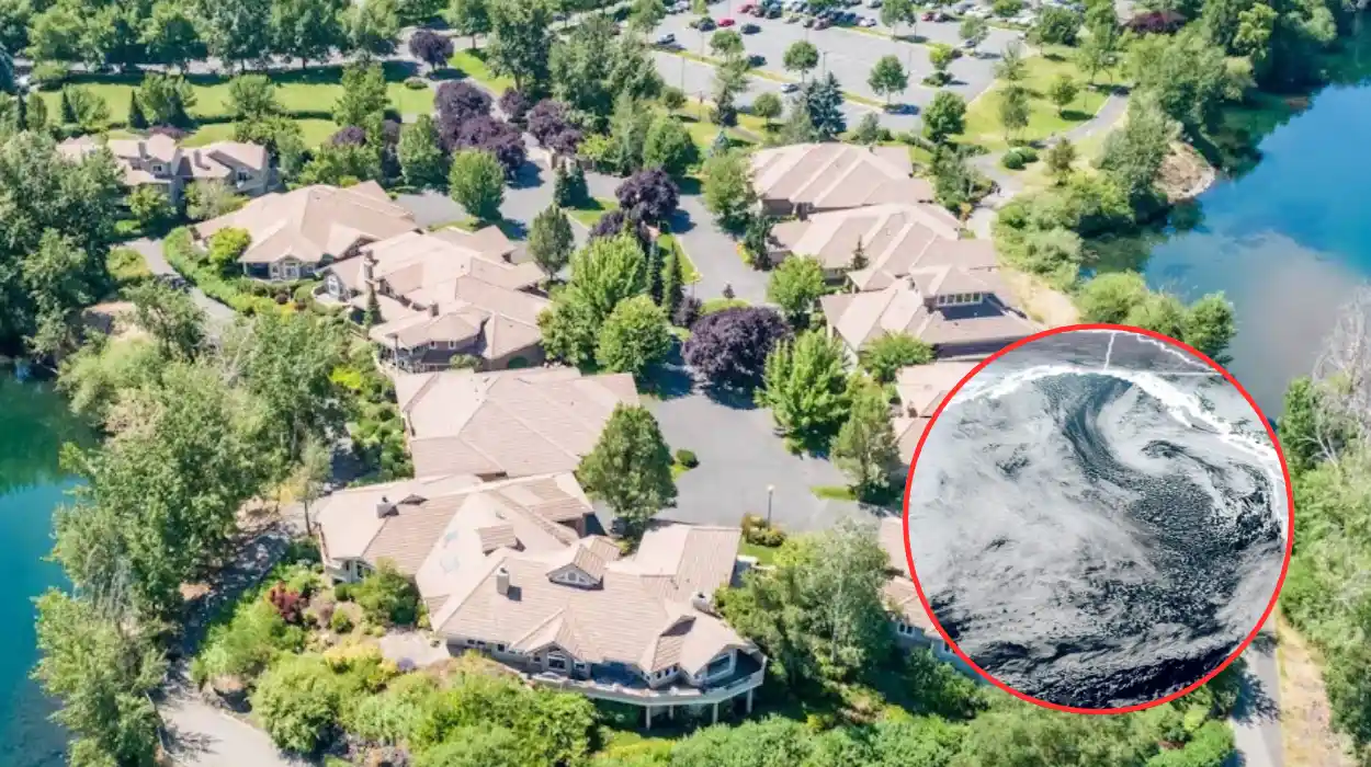
- Strong easterly winds are possible in Cascade passes and Eastside foothills—including communities such as North Bend, Enumclaw, Gold Bar, Black Diamond, and Monroe—around Wednesday afternoon into Thanksgiving Day as a deep offshore low pressure system (modeled near 972 mb) swirls west of Washington.
- Urban areas along the Seattle Interstate 5 and Interstate 405 corridor are expected to see rainy, blustery conditions rather than major widespread windstorms or major river flooding, with river flood concerns limited mainly to potential minor flooding along the Skokomish River.
- A weekend storm around Saturday or Sunday could track closer to the Pacific Northwest, potentially bringing windier conditions and additional rain for return holiday travellers.
Seattle (Evening Washington News) November 22, 2026 – A sequence of Pacific storms is set to sweep across Western Washington during Thanksgiving week, bringing heavy rain, mountain snow, gusty easterly winds in foothill communities, and moderate to major coastal flooding along ocean beaches. While urban hubs along the Seattle Interstate 5 and Interstate 405 corridor are expected to experience messy, blustery travel rather than major windstorms or river flooding, king tides amplified by a supermoon and low pressure pose heightened tidal flood risks.
How Will Multiple Storms Affect Thanksgiving Travel in Western Washington?
Travellers across Western Washington face a multi-storm weather pattern during Thanksgiving week, beginning with light showers on Sunday, 22 November 2026, before stronger systems arrive from Tuesday into Thanksgiving Day and again over the post-holiday weekend.
As reported by meteorologist Scott Sistek of Emerald City Weather, a large upper-level trough establishing itself in the Gulf of Alaska will energise and steer multiple deep low-pressure centres toward the Pacific Northwest during Thanksgiving week. While Sistek noted that the first two storm centres are projected to curl northward and remain far enough offshore to spare the region from traditional widespread November windstorms, their trailing cold fronts are expected to swing close enough to deliver moderate to heavy rain, building ocean swells, and gusty winds—particularly along the coast and in the Northwest Interior.
For most of the Seattle and Puget Sound urban metropolitan area, forecast guidance indicates rainy, blustery, and disruptive travel conditions rather than severe wind events or widespread river flooding, aside from possible minor flooding along the Skokomish River.
What Weather Is Expected From Sunday Through Tuesday?
Following light showers and scattered mountain snow showers on Sunday as a weak offshore low dissipates, Monday is forecast to bring only isolated lingering showers and patches of fog, appearing comparatively dry for November.
As reported by Scott Sistek of Emerald City Weather, the first stronger system is projected to arrive on Tuesday around dawn, producing light to moderate rain through Tuesday day and night, wet snow or slush near Snoqualmie Pass, and light to moderate snow at higher Cascade passes while initiating rising surf and king-tide coastal flood threats.
How Strong Will the Wednesday–Thursday Storm and Weekend System Be?
A brief lull on Wednesday morning is expected to give way to a stronger storm arriving Wednesday afternoon and lasting into Thanksgiving Day, bringing renewed heavier rain and mountain snow. Forecast models such as the ECMWF have depicted a deep low-pressure centre—modeled near 972 mb in recent runs after earlier projections in the 960s—swirling west of Washington.
As reported by Scott Sistek of Emerald City Weather, a west-to-east pressure gradient between eastern Washington and an offshore low can channel strong easterly winds through mountain gaps and passes into foothill communities such as North Bend, Enumclaw, Gold Bar, Black Diamond, and Monroe. Earlier model runs had pointed toward gusts of 50 mph or higher on Wednesday, though later runs trending slightly weaker offshore and relatively mild air in eastern Washington may moderate peak gusts, with snow levels projected around 5,000 feet or higher.
Looking ahead to Saturday or Sunday after Thanksgiving, forecast guidance indicates another storm system that could track closer to the Northwest and bring windier weather and additional rain for return travellers.
Why Is Coastal and Tidal Flooding a Major Concern This Week?
Moderate to major coastal and tidal flooding is projected along the Washington coast starting with Monday’s high-tide cycles, while minor to moderate tidal flooding is possible in inland waters such as Puget Sound and the Salish Sea beginning with Tuesday and Wednesday high tides.
As reported by Scott Sistek of Emerald City Weather, six overlapping factors are combining to elevate water levels during Thanksgiving week:
- Multiple strong storms with deep low-pressure centres generating large waves and dangerous surf along the coast.
- Lower atmospheric pressure exerting an upward “tug” on the ocean surface, raising sea levels above normal predictions.
- A full moon on Tuesday, which naturally increases tidal range.
- A lunar perigee (“supermoon”) coinciding with the full moon as the moon makes its closest pass to Earth in its elliptical orbit, producing king tides.
- Earth’s approach toward perihelion—its closest point to the sun in January—adding an extra gravitational boost to tides.
- Warmer ocean water associated with El Niño contributing additional thermal expansion along the West Coast.
While Puget Sound and the Salish Sea are shielded from direct Pacific ocean surf, Sistek noted that the remaining astronomical, barometric, and oceanographic factors will still drive elevated tides along inland shorelines.
Background of Pacific Northwest Thanksgiving Storms and King Tides
Thanksgiving week in Western Washington regularly coincides with active North Pacific storm tracks and autumn-to-winter transition weather, where moisture-laden systems moving off the Pacific meet coastal topography, mountain passes, and river basins. Coastal communities along the outer Washington coast and inland shorelines experience recurring vulnerability when autumn and winter king tides coincide with low-pressure systems that push water onshore and generate high surf.
Across the region, protective dunes, beaches, and shorelines often face cumulative erosion during multi-storm stretches in November and December, while Cascade passes and foothill towns routinely monitor easterly gap winds and heavy mountain precipitation during late-autumn holiday travel periods.
Prediction: How Will This Weather Pattern Affect Travellers and Coastal Residents?
For holiday travellers driving along Interstate 5, Interstate 405, or mountain routes across the Cascades—or flying out of regional airports—heavy rain, reduced visibility, blustery winds, and wet or slushy pass conditions from Tuesday through Thanksgiving Day and into the post-holiday weekend are likely to cause slower commutes, slick roads, and potential travel delays. Residents in foothill communities such as North Bend, Enumclaw, Gold Bar, Black Diamond, and Monroe should prepare for gusty easterly winds even if urban Puget Sound sees milder wind impacts.
For coastal residents, waterfront property owners, and marine operators along the Washington coast and inland waters of Puget Sound and the Salish Sea, the combination of king tides, a supermoon full moon, storm surge, and high surf calls for heightened caution around low-lying roads, beaches, and shoreline infrastructure during high-tide cycles across the week.