Key Points
- Cooler, Cloudier Weather: Western Washington is shifting to cooler, cloudier conditions, with afternoon highs settling in the low to mid-70s.
- Upper-Level Trough Moves In: An upper-level trough is bringing more cloud cover, breezier winds along the coast and north interior, and scattered showers through the weekend.
- Thunderstorms in Higher Terrain: The best chance for afternoon and evening thunderstorms is over higher elevations, mainly the North Cascades and the Olympics.
- Red Flag Warning Remains: A Red Flag Warning is still in effect for parts of central Washington, where gusty winds and dry conditions are increasing fire danger.
- Cooler Weather Continues: Below-average temperatures are expected to continue into next week, with Seattle potentially recording its first daytime high in the 60s since mid-July.
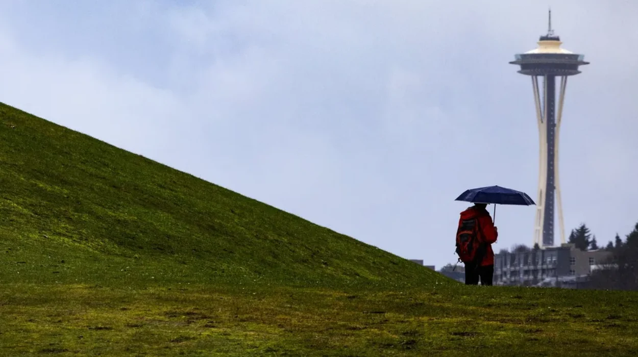
Seattle (Evening Washington News) August 27, 2026 — Western Washington is experiencing a notable meteorological shift as a persistent upper-level trough settles over the Pacific Northwest, bringing a distinct departure from the intense heat of mid-summer. As reported by meteorologists and news teams covering the regional climate, including forecasting updates detailed by FOX 13 Seattle, the incoming weather pattern introduces a blanket of clouds, much cooler ambient temperatures, and intermittent opportunities for light precipitation across the lowlands alongside active mountain weather.
Why Is Western Washington Experiencing Cooler Temperatures and Increased Cloud Cover?
The transition toward autumn-like conditions is being driven directly by an upper-level trough hovering over the Pacific Northwest. According to atmospheric reports featured by FOX 13 Seattle, this weather feature is successfully funneling marine air inland, resulting in cloudier skies and a marked drop in daytime high temperatures. While previous weeks recorded consistent warmth, regional thermometers are now hovering more modestly in the low to mid-70s across the Puget Sound lowlands.
Furthermore, local reporting highlights that winds are becoming notably breezy at times, particularly impacting the coastal zones and the north interior sections of western Washington. These blustery conditions complement the marine push, creating a crisp and refreshing atmosphere that stands in sharp contrast to the typical heatwaves experienced earlier in the season.
Where Are the Highest Chances for Showers and Mountain Storms?
While the major metropolitan lowlands enjoy mostly cloudy skies with only occasional light mist or passing sprinkles, the mountain ranges tell a different story. Weather analysts tracking the system note that instability aloft is triggering localized atmospheric friction.
As detailed in regional forecasts, the highest probability for shower activity and isolated thunderstorms remains concentrated over the higher elevations. Specifically, meteorologists point to the North Cascades and the Olympics as the primary focal points where daytime heating interacting with the upper-level trough can spawn convective activity. Residents, hikers, and campers traveling through these mountain passes have been advised to monitor local advisories closely, as mountain weather during an upper-level trough can shift rapidly from calm sunshine to sudden downpours and lightning.
Explore More Weather News
Pacific Storm Threatens Western US States With Lightning 2026
Fire Weather Watch Issued for Eastern Whatcom County, 2026
What Areas Are Affected by Fire Weather Warnings and Gusty Winds?
While western Washington contends with marine moisture and cooler air, other parts of the state face severe fire safety concerns. Meteorological updates indicate that a Red Flag Warning has been enacted for specific parts of central Washington.
As outlined by regional forecasters, dry vegetation combined with gusty winds and low relative humidity levels has created an environment highly vulnerable to rapid fire spread. Authorities in these zones urge the public to exercise extreme caution regarding outdoor burning, equipment use, and any activities that could inadvertently spark a wildfire. The contrast between the damp, cooling coastal sectors and the dry, wind-swept central terrain underscores the diverse microclimates influencing Washington state during this late-summer weather transition.
What Can Residents Expect from the Extended Forecast Next Week?
Looking past the immediate end-of-the-week transition, the extended outlook points toward a continuation of below-average temperatures well into the upcoming week. Forecasters tracking long-range models suggest that this sustained cooling trend could yield a significant milestone for the local climate.
Data analysis indicates that Seattle could potentially record its first daytime high temperature remaining in the 60s since mid-July. While standard late-August patterns typically maintain steady summer warmth, this incoming trough appears robust enough to suppress afternoon highs significantly. Commuters, outdoor workers, and local residents are advised to keep light jackets handy as western Washington officially pivots toward the cooler, more unsettled embrace of the approaching shoulder season.