Key Points
- Incoming Weather Front: A cold front moving into western Washington is bringing cooler temperatures, increased cloud cover, and breezy conditions across the region.
- Rain and Thunderstorm Potential: Showers and light sprinkles are expected to reach the Seattle metropolitan area early Saturday, around 10:00 a.m., with scattered showers continuing across the Central and North Sound into early Sunday.
- Elevated Wildfire Risk: Despite the rainfall, the system brings gusty winds and potential thunderstorm activity, keeping fire danger at elevated levels across vulnerable terrain.
- Seafair Weekend Impact: The sudden shift to cooler, damp conditions directly affects outdoor weekend events and summer festivities across the Puget Sound region.
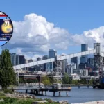
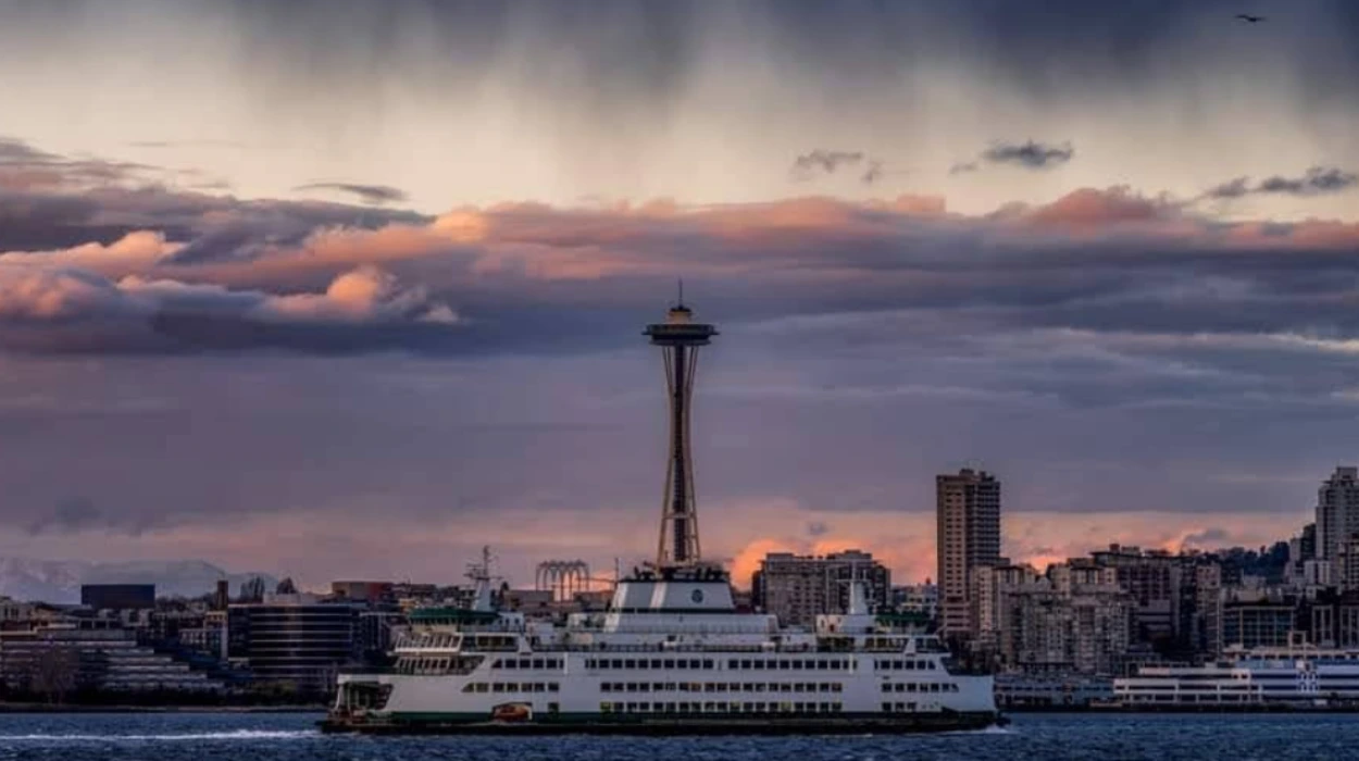
Seattle (Evening Washington News) August 1, 2026 – Cloud cover is moving across western Washington as a cold front arrives, bringing cooler temperatures, rainfall, breezy conditions, and the potential for thunderstorm activity across the region. As reported by Abby Acone of FOX 13 Seattle, the advancing weather system is shifting local conditions significantly, bringing scattered showers to inland communities alongside heightened wildfire risk due to gusty winds and atmospheric instability.
What Time Will the Rain Begin in Seattle and Puget Sound?
As detailed by Abby Acone of FOX 13 Seattle, precipitation will make its way further inland on Saturday morning, with the Seattle metropolitan area likely to see showers or light sprinkles starting early in the day, around 10:00 a.m. The probability of rain will persist across parts of the Central Sound and North Sound throughout Saturday evening, with showers potentially lingering into early Sunday morning.
While the rain offers brief moisture relief following recent warm summer stretches, meteorologists emphasize that the volume of rainfall will vary considerably depending on location. Coastal areas and the Olympic Peninsula are anticipated to see more steady precipitation, whereas interior lowland regions may experience intermittent showers and brief breaks in cloud cover.
Why Is There High Fire Danger Despite the Expected Rainfall?
As highlighted by Ilona McCauley of FOX 13 Seattle, cold fronts entering the Pacific Northwest during the late summer months frequently introduce a dual threat of localized rain and elevated fire danger. The arrival of the front generates gusty, breezy conditions across dry landscapes, while the associated atmospheric instability creates a possibility of thunderstorms.
Lightning strikes from isolated thunderstorms can ignite dry vegetation before rainfall is able to saturate the ground. Furthermore, increased wind speeds associated with the passing front can fan existing blazes or spread new ignitions rapidly across dry brush and forest terrain in western and central Washington.
What Is the Background of This Seasonal Weather Pattern?
How Have July Temperatures and Wildfire Conditions Developed in Washington?
Throughout late July, western Washington experienced shifting weather conditions characterized by fluctuating temperatures and persistent wildfire concerns east of the Cascade Mountains. As noted by Abby Acone of FOX 13 Seattle, onshore westerly winds previously helped maintain fair air quality across the Puget Sound region, preventing major wildfire smoke from Eastern Washington from lingering over the urban lowlands.
However, drier summer periods have left fine fuels and forest brush highly susceptible to fire ignition. The transition into August frequently sees Pacific weather disturbances pushing inland, creating brief cooler intervals accompanied by gusty wind regimes that require continuous monitoring by weather authorities and fire management agencies.
How Will This Weather Development Affect Local Residents and Outdoor Event Organisers?
What Does the Prediction Mean for Seafair Weekend and Regional Communities?
The arrival of this cold front directly impacts outdoor planners, festival attendees, and residents across the Puget Sound area during one of the region’s busiest summer weekends.
- Outdoor Activities and Event Disruptions: Outdoor gatherings, including traditional Seafair Weekend festivities, will face cooler temperatures, sudden rain showers, and breezy conditions. Event organizers and attendees are advised to prepare for damp surfaces and brief delays during period of morning and evening precipitation.
- Wildfire Mitigation and Safety Precautions: Fire departments and outdoor recreationists must remain on high alert due to gusty winds and lightning potential. Campers and hikers in wilderness areas are encouraged to monitor local fire restrictions, as sudden wind shifts can alter fire behavior unpredictably.
- Maritime and Aviation Awareness: Breezy conditions over Puget Sound and local lakes may create choppy waters for small watercraft, while low cloud ceilings and scattered thunderstorms could require extra caution for regional aviation and coastal boat operators.