Key Points
- Severe Weather Threat Activated: Meteorologists have declared a Level 2 out of 5 “slight” severe weather risk for the entire Washington D.C. metropolitan region, threatening widespread structural disruption.
- Commute Times Heavily Impacted: The primary arrival window for intense storm cells directly coincides with the absolute peak of the Thursday afternoon and evening rush-hour commute, between 2:00 p.m. and 8:00 p.m.
- Destructive Wind Potential: Thunderstorms are projected to carry high-velocity, damaging wind gusts exceeding 60 miles per hour, capable of downing trees and structural power grids.
- Flash Flood Watch Implemented: Due to an overly saturated tropical air mass, rainfall rates could reach an instantaneous 2 to 3 inches per hour, forcing a mandatory Flood Watch from 2:00 p.m. until 11:00 p.m. across D.C. and regional Maryland/Virginia corridors.
- Atmospheric Volatility Linked to Heat Dome: This incoming severe convective development directly succeeds an extreme regional heat dome that recently brought historic triple-digit heat and record-shattering warm overnight minimum temperatures to the National Capital region.
Washington (Evening Washington News) July 9, 2026 — The National Capital Region is facing a severe atmospheric disruption on Thursday, July 9, 2026, as a fast-moving cluster of strong to severe thunderstorms converges directly over Washington, D.C., positioning the area for its most volatile weather day of the week. The primary meteorological threat is precisely timed to strike during the core hours of the Thursday afternoon and evening transit rush, creating severe hazards for hundreds of thousands of commuters across the District, Northern Virginia, and Southern Maryland. Local meteorologists and federal agencies have declared widespread warnings, indicating that the storm cells will produce destructive wind gusts exceeding 60 miles per hour, small hail, frequent cloud-to-ground lightning, and torrential downpours. Because these storms are passing through a highly moisture-rich, tropical air mass, precipitation rates are expected to trigger rapid urban flash flooding along major transit corridors. Authorities are advising the public to secure loose outdoor items, anticipate substantial transit delays, and seek interior shelter before dark skies materialize westward.
- Key Points
- What Meteorological Alerts Are Currently Active Across the D.C. Region?
- When Will the Strongest Severe Weather Impacts Hit the Metropolitan Infrastructure?
- What Are the Specific Damage Elements Associated With These Approaching Storm Cells?
- Background of the Post-Heat Dome Convective Development
- Prediction: How This Development Can Affect D.C. Area Commuters and Local Renters
What Meteorological Alerts Are Currently Active Across the D.C. Region?
In official briefings distributed early Thursday, meteorologists from multiple networks, along with the National Weather Service (NWS), formalized a dual-threat safety perimeter for the National Capital Region. As detailed by Meteorologists Grace Thornton, Topper Shutt, Kaitlyn McGrath, Joseph Speir, and Miri Marshall of WUSA9, a comprehensive “Weather Impact Alert” has been activated from noon until 8:00 p.m. Thursday. According to their collaborative meteorological analysis, the broad convective risk sits at a “Slight Risk” level, which constitutes a Level 2 out of 5 on the standard scale utilized by the Storm Prediction Center.
Concurrently, a separate federal mandate has been declared regarding severe rainfall accumulation. The National Weather Service Baltimore/Washington forecast office officially enacted a Flash Flood Watch effective from 2:00 p.m. Thursday afternoon through 11:00 p.m. Thursday evening. The regulatory text published by the NWS details that “flash flooding caused by excessive rainfall is highly possible” across Washington D.C., alongside extensive segments of Maryland, including Montgomery, Prince George’s, Howard, Anne Arundel, Carroll, Frederick, and Baltimore counties. The federal alert warns that excessive runoff could instantly overwhelm urbanized surfaces and low-lying streams.
When Will the Strongest Severe Weather Impacts Hit the Metropolitan Infrastructure?
Timeline tracking from regional broadcast centers confirms that the onset of atmospheric instability will begin shortly after midday, though the true dangerous window is concentrated over a six-hour block. In documentation published by WUSA9 weather specialists, while initial convective showers may spark shortly after noon, the window for the strongest, potentially tornadic or damaging linear storm clusters is fixed between 2:00 p.m. and 8:00 p.m.
This specific operational timeframe directly compromises the afternoon rush hour, a detail heavily emphasized across regional media outlets. Broadcast alerts from 7News Washington verified that this timeline positions the primary severe thunderstorm threat squarely “during the heart of the Thursday afternoon and evening rush,” meaning highway systems such as the I-95 corridor, I-495 Capital Beltway, and I-66 will experience peak traffic volumes precisely as heavy downpours diminish visibility to near-zero levels.
What Are the Specific Damage Elements Associated With These Approaching Storm Cells?
The physical properties of the incoming storm front present multiple distinct structural threats to the metropolitan area. According to meteorological data logs evaluated by Grace Thornton of WUSA9, the primary danger revolves around downburst or straight-line wind velocities. The storms are carrying structural wind potentials of “60+ mph,” which are strong enough to cause widespread tree failure, snap overhead utility lines, and create dangerous projectiles out of unsecured urban property.
In addition to wind hazards, moisture mechanics are remarkably elevated. The National Weather Service issued a technical advisory highlighting that the regional atmosphere is saturated by a “continued tropical air mass,” which maximizes precipitation efficiency. According to the official NWS statement:
“Very heavy rainfall rates are possible in many of these storms. These rates could approach 2 to 3 inches per hour, with higher instantaneous rates possible. The most vulnerable locations would be urbanized areas along I-95 as well as areas which have experienced heavy rainfall in recent days.”
The secondary physical threats noted by regional analysts include localized small hail and intense cloud-to-ground lightning sequences. The severe lightning frequency threatens to temporarily disrupt communications infrastructure and halt outdoor municipal operations.
Background of the Post-Heat Dome Convective Development
The extreme atmospheric volatility observed on July 9, 2026, is a direct thermodynamic consequence of a historic, record-shattering heat wave that completely gripped the Mid-Atlantic region throughout the preceding week. Data compiled by the Northeast Regional Climate Center (NRCC) confirms that early July 2026 featured an unseasonably intense “Heat Dome”—a powerful high-pressure system that trapped extreme heat and tropical moisture over the Interstate 95 corridor. During this period, daytime temperatures in Washington, D.C., repeatedly surged past 100°F, forcing the implementation of widespread Extreme Heat Warnings.
More critically, the regional climate experienced unprecedented nocturnal trapping of heat. According to verified logs from the NRCC, Washington, D.C., tied its all-time hottest overnight low temperature on record since formal data tracking began in 1871, with the thermometer refusing to drop below an astonishing 84°F. This lack of nighttime cooling was driven by a combination of high atmospheric humidity and the urban heat island effect, where tarmac, concrete, and buildings absorb massive thermal energy during the day and radiate it back into the lower atmosphere overnight.
As explained in historical weather modeling assessments by the meteorological team at The Washington Post, extreme heat events in the National Capital Region almost exclusively conclude with highly volatile rounds of severe convective thunderstorms. The prolonged triple-digit heat wave essentially acted as a massive thermal battery, loading the lower atmosphere with immense convective available potential energy (CAPE). When a weaker cold front or atmospheric boundary advances from the northwest into this super-heated, moisture-laden air mass, it triggers a rapid upward vertical motion. The hot, humid air is forced upward violently, instantly condensing into towering cumulonimbus clouds capable of producing the exact microburst winds, localized hail, and torrential rainfall rates observed in the July 9 storm clusters.
Explore More Local News
Revive I-5 Resumes With Major Lane Reductions in Seattle 2026
Rain Showers Trigger Severe Morning Fog Delays in Washington DC 2026
Prediction: How This Development Can Affect D.C. Area Commuters and Local Renters
The implementation of the Level 2 severe weather threat and the concurrent 2 to 3-inch hourly rainfall rates will have immediate, cascading logistical impacts on the population of the Washington metropolitan area.
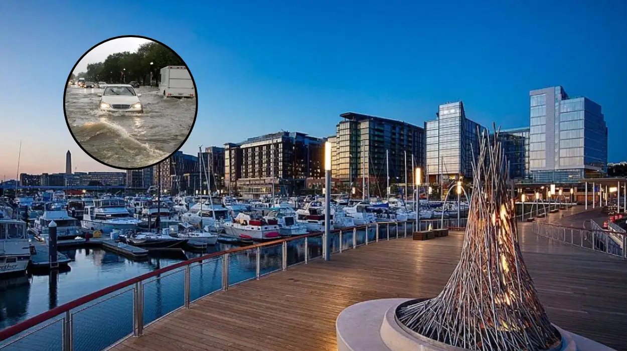
For the regional commuting audience, the immediate outcome will be a severe inflation of travel times and dangerous roadway conditions. Because the storm’s peak intensity window between 2:00 p.m. and 8:00 p.m. completely blankets the evening rush hour, surface roads and major interstates will face instant gridlock. The projected 60 mph winds are highly likely to down weak trees and heavy branches onto primary thoroughfares, forcing emergency lane closures and stalling vehicular traffic. Furthermore, given that urban drainage infrastructure across the District is historically unequipped to handle instantaneous rainfall exceeding two inches, underpasses and depressed highway segments along the I-95 and I-495 corridors will experience flash flooding. This will likely trap vehicles, stall engines, and create significant safety hazards for motorists who attempt to navigate submerged roadways.
For local residents—particularly those occupying lower-level or basement apartments within the District’s historic neighborhoods—this development introduces an immediate risk of property damage and displacement. Severe storm warnings of this magnitude, coupled with hyper-localized flash flooding, often result in immediate stormwater backups. As sewage and municipal runoff systems fill past maximum volume, water is frequently forced backward into residential plumbing and low-lying entryways. Renters in basement units should anticipate potential structural flooding, electrical short-circuits, and the rapid destruction of personal property stored on floor levels, necessitating proactive waterproofing measures and emergency relocation plans before the brunt of the storm arrives.