Key Points:
- Wildfire activity across Oregon and Washington state has scorched more than one million acres during the 2026 fire season.
- Smoke from active blazes is affecting skies across the Evergreen State, creating visibility and health concerns.
- State authorities have made available interactive digital mapping tools to assist residents in locating active blazes and evaluating risks.
- The Washington State Department of Transportation (WSDOT) provides an interactive Travel Map with real-time wildfire layers detailing start dates, acreage, and operational data.
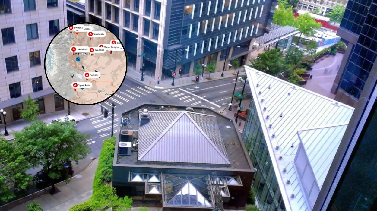
- The Northwest Interagency Coordination Center (NWICC) operates an active mapping system showing blaze locations, origins, containment levels, and threats to nearby homes or commercial structures.
Washington (Evening Washington News) July 30, 2026 – More than one million acres of land have been scorched across Washington state and Oregon as the 2026 Pacific Northwest wildfire season intensifies. As reported by the Tri-City Herald, active blazes are sending heavy smoke plumes across the region, prompting state agencies to highlight critical public mapping tools designed to help residents identify where fires are burning relative to their properties and travel routes.
- Key Points:
- What Online Resources Are Available To Locate Wildfires In Washington State?
- How Does The Northwest Interagency Coordination Center Map Provide Operational Data?
- How Can Residents Monitor Local Air Quality And Smoke Dispersion?
- What Is The Background To The Pacific Northwest Wildfire Development?
- How Will These Fire Tracking Tools Affect Local Residents And Travellers?
What Online Resources Are Available To Locate Wildfires In Washington State?
As reported by the Tri-City Herald, the state of Washington maintains multiple online platforms that offer real-time tracking of active vegetation fires. Chief among these public systems is the interactive Travel Map managed by the Washington State Department of Transportation (WSDOT).
The WSDOT Travel Map features a dedicated overlay option specifically for active wildfires. Members of the public can toggle this view to pinpoint active fire perimeters, review start dates, and inspect acreage totals updated directly by emergency coordination personnel.
How Does The Northwest Interagency Coordination Center Map Provide Operational Data?
In addition to transport updates, the Tri-City Herald highlights the Northwest Interagency Coordination Center (NWICC) mapping system as a primary authoritative source for detailed incident intelligence. The NWICC map aggregates multi-agency data, providing granular reports on:
- Exact geospatial fire locations and current acreage figures.
- Confirmed or suspected ignition causes (such as lightning strikes or human activity).
- Fire containment percentages and operational suppression status.
- Specific counts of threatened residential homes or commercial premises.
How Can Residents Monitor Local Air Quality And Smoke Dispersion?
As detailed by the Tri-City Herald, while active fire lines directly impact immediate evacuation zones, wildfire smoke poses broader health risks across the entire Evergreen State. Smoke dispersion can extend hundreds of miles downwind depending on atmospheric pressure and wind vectors.
To track atmospheric conditions, public health officials recommend utilising state environmental monitoring networks alongside fire location maps.
Combining WSDOT highway cameras with air quality monitoring indices allows communities to evaluate whether localized haze stems from nearby wildland blazes or regional drift.
What Is The Background To The Pacific Northwest Wildfire Development?
The surge in wildfire activity across the Pacific Northwest follows prolonged periods of high summer temperatures, low relative humidity, and persistent drought conditions that have dried out timber and rangeland fuels throughout central and eastern Washington.
Historically, wildland fire management in the region relies on coordinated responses between federal agencies, state forestry departments, and local emergency services.
Over recent years, public demand for immediate, accessible spatial data has led state transportation and emergency management departments to integrate GIS (Geographic Information System) satellite feeds directly into public-facing web applications.
This technological shift allows emergency management teams to disseminate evacuation notices and road closures more rapidly during sudden fire surges.
Explore More Local News
Four Juveniles Arrested After Armed Robbery Near Bellingham Cinema 2026
Census Data Identifies Top Immigrant Origin Nations in Seattle Metro 2026
How Will These Fire Tracking Tools Affect Local Residents And Travellers?
The availability and widespread adoption of interactive mapping resources are predicted to significantly enhance community safety, emergency preparedness, and transit planning for Washington state residents and regional travellers.
For local homeowners and businesses, real-time tracking through NWICC and state dashboards provides early warning capability, allowing families in vulnerable fringe areas to prepare evacuation bags and secure livestock before formal Level 1 (“Get Ready”) or Level 2 (“Get Set”) orders are escalated to Level 3 (“Go Now”).
For motorists, freight operators, and holidaymakers, the integration of real-time fire perimeter data into WSDOT travel maps reduces the risk of vehicles heading towards closed mountain passes or highways compromised by active burn overs or low-visibility smoke hazards.
As wildfire seasons continue to affect larger land areas annually, digital spatial awareness tools are expected to remain a primary line of defense for public safety across the Pacific Northwest.