
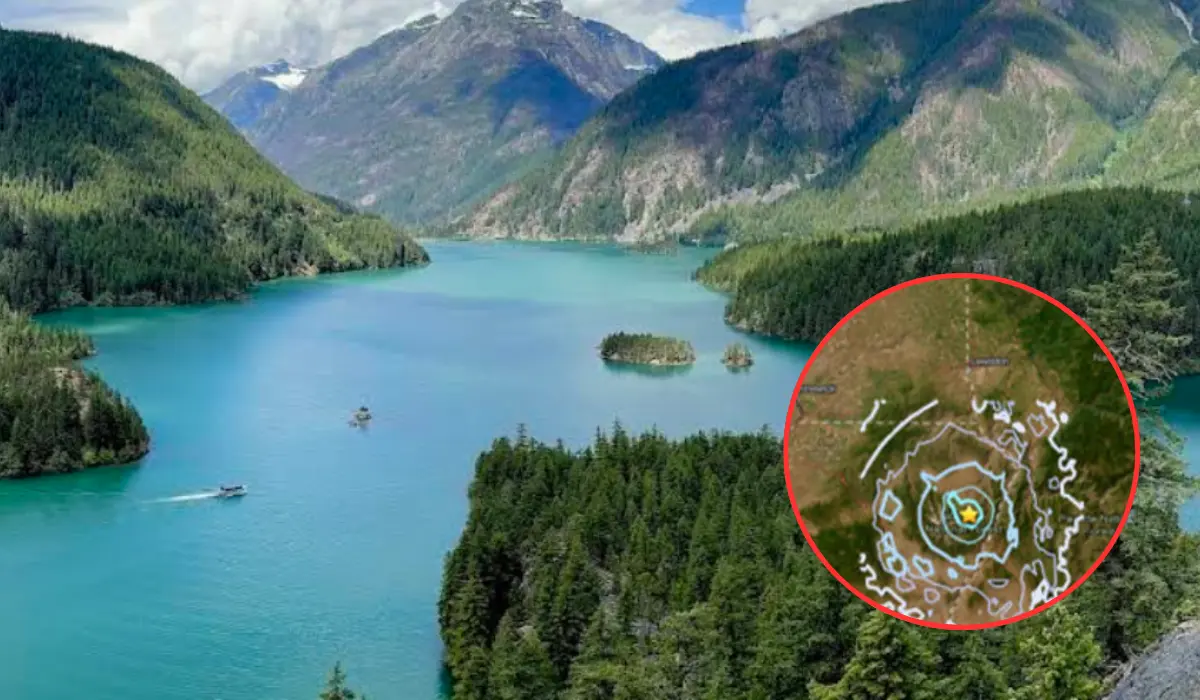
Key Points
- Moderate Seismic Event: A magnitude 4.3 earthquake struck northeastern Oregon late on Monday, 9 November 2026, causing light shaking that extended across the state line into southeast Washington.
- Epicenter and Depth Details: According to data from the United States Geological Survey (USGS), the seismic event occurred at 11:42 pm local time at a shallow depth of 1.5 miles (approximately 2.4 kilometres) within the Wallowa National Forest, roughly 12 miles east-southeast of Joseph, Oregon.
- No Damage or Injuries Reported: Local authorities and emergency management agencies confirmed that no structural damage or injuries have been reported, consistent with seismological benchmarks for tremors under magnitude 5.0.
- Public Engagement and ShakeAlert Activation: The ShakeAlert Earthquake Early Warning system was triggered during the event, and dozens of residents across Oregon and Washington logged felt reports via the USGS citizen science platform.
- Subduction vs. Crustal Faults: Geologists noted that while Oregon’s primary seismic threat stems from the offshore Cascadia Subduction Zone, eastern Oregon experiences periodic crustal intraplate earthquakes within the North American Plate.
Joseph, Oregon (Evening Washington News) November 10, 2026 – Executive Summary: A shallow magnitude 4.3 earthquake rattled northeastern Oregon late on Monday, 9 November 2026, with shaking felt across the regional border in southeastern Washington state. According to reports issued by the United States Geological Survey (USGS), the tremor struck at 11:42 pm local time, centered within the Wallowa National Forest about 12 miles east-southeast of Joseph, Oregon. No structural damage or injuries have been reported. Dozens of local residents logged felt reports online, and automated early warning systems were activated during the event.
- Key Points
- What Time Did the Earthquake Strike and Where Was the Epicenter Located?
- Did the Earthquake Cause Any Structural Damage or Physical Injuries?
- How Many Residents Reported Feeling the Shaking Across Oregon and Washington?
- Background of the Particular Development
- Prediction: How This Development Can Affect Local Communities, Emergency Managers, and Regional Infrastructure
A magnitude 4.3 earthquake centered in northeastern Oregon’s Wallowa National Forest struck late on Monday night, sending light tremors across Wallowa County and into parts of southeastern Washington state. The United States Geological Survey reported that the quake occurred at 11:42 pm at a very shallow focal depth of 1.5 miles. Despite the late-night timing, dozens of residents across two states reported feeling light shaking, prompting automated activations of the USGS ShakeAlert system. Regional emergency officials confirmed that no injuries or infrastructure damage occurred, as seismologists reiterated that events of this magnitude rarely produce structural impacts.
What Time Did the Earthquake Strike and Where Was the Epicenter Located?
As reported by journalist Jim Jensen of FOX 13 Seattle, a magnitude 4.3 earthquake struck northeastern Oregon’s Wallowa National Forest late Monday night, with light shaking felt across parts of southeast Washington.
As detailed by Jim Jensen of FOX 13 Seattle, data compiled by the United States Geological Survey (USGS) placed the precise time of the tremor at approximately 11:42 pm PST on Monday, 9 November 2026. The epicenter was pinpointed roughly 12 miles east-southeast of the town of Joseph in Wallowa County, situated within the bounds of the Wallowa-Whitman National Forest.
As reported by staff writers at Oregon Public Broadcasting (OPB), the quake originated at a very shallow depth of 1.5 miles (2.4 kilometres) below the earth’s surface. Geologists observe that shallow-focus earthquakes typically generate more noticeable surface movement near the epicenter than deeper events of equivalent magnitude, which explains why shaking was distinctly felt across surrounding communities despite the moderate energy release.
As reported by Elkhorn Media Group, local dispatchers in Wallowa County received multiple calls and reports from residents in Enterprise, located approximately 17 miles northwest of the epicenter, confirming that light shaking had disrupted the late evening hours.
Did the Earthquake Cause Any Structural Damage or Physical Injuries?
As reported by Jim Jensen of FOX 13 Seattle, seismologists and emergency managers confirmed that earthquakes of a 4.3 magnitude rarely cause structural damage or pose severe hazards to reinforced buildings.
As detailed by reporting from The Oregonian / OregonLive, distributed via Tribune Content Agency, local law enforcement agencies and emergency services across northeastern Oregon and southeastern Washington reported zero instances of physical injury, utility disruption, or architectural impairment following the event.
The USGS ShakeMap system categorized the intensity of the seismic energy as “Light” (Level IV on the Modified Mercalli Intensity Scale) near the epicentral zone, tapering off to “Weak” (Level II–III) in adjacent counties.
As noted in reports by Jim Jensen of FOX 13 Seattle, geologists maintain a general consensus that significant structural damage and hazard risks typically do not materialize unless an earthquake’s magnitude exceeds 5.0 on the moment magnitude scale.
How Many Residents Reported Feeling the Shaking Across Oregon and Washington?
As reported by staff writers at Oregon Public Broadcasting (OPB), more than 60 citizens had submitted official “Did You Feel It?” reports via the USGS online portal by early Tuesday morning.
As detailed by The Oregonian / OregonLive, that tally expanded to over 74 individual reports within hours as residents across Wallowa County, Union County, and across the state line into Asotin and Garfield counties in Washington logged their experiences.
As reported by staff at OPB, the USGS ShakeAlert Earthquake Early Warning system was automatically triggered during the event, sending real-time detection notifications to regional monitoring networks. The automated bulletin was disseminated to partner agencies, including the Oregon Office of Emergency Management (OEM), the University of Oregon Hazards Lab, and the Pacific Northwest Seismic Network (PNSN).
USGS officials continue to encourage members of the public who experienced the tremor to log their exact location and felt intensity on the official agency portal to assist seismologists with mapping ground-motion attenuation models.
Background of the Particular Development
While the state of Oregon is most widely recognized for the major seismic threat presented by the offshore Cascadia Subduction Zone—a 600-mile fault capable of generating mega-thrust earthquakes exceeding magnitude 9.0—eastern Oregon experiences an entirely different geological mechanism.
The interior regions of eastern Oregon, including Wallowa, Union, and Baker counties, sit atop the North American Plate. Seismic activity in this region is primarily driven by shallow crustal faulting within the Basin and Range tectonic province and the Blue Mountains province. Unlike subduction zone events that occur tens of miles beneath the Earth’s crust where tectonic plates collide, intraplate faults in eastern Oregon produce localized, shallow quakes.
Historical records maintained by the Pacific Northwest Seismic Network indicate that small-to-moderate crustal earthquakes between magnitude 3.0 and 4.5 occur periodically across northeastern Oregon. These events serve as a continuous reminder that active fault structures extend throughout the Pacific Northwest’s interior, well beyond the coastal boundaries.
Prediction: How This Development Can Affect Local Communities, Emergency Managers, and Regional Infrastructure
The magnitude 4.3 earthquake near Joseph will influence public awareness, municipal planning, and scientific monitoring across the Pacific Northwest in several key ways.
Impact on Local Residents and Community Preparedness
For residents in rural Wallowa County and surrounding agricultural areas, the late-night event acts as a practical reminder of regional seismic vulnerability. Community members will likely review household emergency kits, secure heavy household items, and sign up for state early-warning notification services like ShakeAlert. While the immediate event caused no disruption, small events often prompt heightened public interest in personal earthquake insurance policies and structural retrofits for older residential properties.
Impact on Emergency Services and Infrastructure Inspections
Municipal public works departments, county road departments, and the Oregon Department of Transportation (ODOT) will conduct routine visual inspections of critical infrastructure. Bridge structures, mountain passes, local dams, and rural water storage systems near the Wallowa National Forest will undergo standard evaluations to ensure no subtle micro-fracturing or slope instability occurred. Forestry personnel inside the Wallowa-Whitman National Forest will also monitor unpaved access roads and steep terrain for minor rockfalls or earth slumps.
Impact on Seismological Research and Aftershock Forecasting
For seismologists at the USGS and the Pacific Northwest Seismic Network, the data gathered from dozens of citizen reports and regional seismometers will refine crustal fault mapping in eastern Oregon. According to USGS aftershock forecasts, there remains a slight probability of minor secondary tremors in the days following the event, with models indicating the potential for small aftershocks up to magnitude 3.0 within the immediate vicinity. Scientists will use high-density ground tracking to map previously unchartered micro-faults within the Wallowa mountain complex.