Key Points
- River Crossing & Rapid Spread: Driven by wind gusts up to 45 mph, the Old Trails fire jumped the Spokane River, expanding to approximately 2,500 acres by 4:30 p.m.
- Expanded Evacuation Zone: Mandatory Level 3 evacuation orders were issued just before 3:30 p.m., expanding to encompass all areas north of Francis Avenue and west of Division Street, including the entire South Indian Trail neighbourhood.
- Healthcare Facilities Impacted: The Mann-Grandstaff VA Medical Center and the Spokane Health and Rehabilitation Home were evacuated, with patients transferred to Providence Sacred Heart Medical Center and Holy Family Hospital.
- Traffic Gridlock: Main arteries including Northwest Boulevard experienced bumper-to-bumper traffic, prompting officials to request that non-evacuating residents stay off the roads.
- State and Local Response: Spokane Mayor Lisa Brown scheduled emergency talks with Washington Governor Bob Ferguson, while ground crews and aerial support fought to protect structures.
Spokane (Evening Washington News) August 4, 2026 — Thousands Evacuated as Wildfire Crosses Spokane River into City (The Spokesman-Review) August 1, 2026 – A fast-moving wildfire driven by extreme wind gusts crossed the Spokane River on Saturday afternoon, advancing into urban neighbourhoods and triggering broad mandatory evacuation orders across northern Spokane. Emergency officials expanded evacuation perimeters just before 3:30 p.m. to encompass all areas north of Francis Avenue and west of Division Street, incorporating the entire South Indian Trail neighbourhood as flames threatened residential structures and public infrastructure. Spokane City Councilwoman Kitty Klitzke, who represents northwest Spokane, issued an urgent appeal to residents in the northern quadrant of the city to clear the roads unless actively evacuating, as traffic gridlock choked major routes. Spokane Mayor Lisa Brown confirmed she was scheduled to consult directly with Washington Governor Bob Ferguson late Saturday afternoon to coordinate state-level emergency support.
- Key Points
- What Caused the Rapid Evacuation Orders Across North Spokane?
- How Are Medical Facilities and Vulnerable Residents Being Evacuated?
- How Are Local Residents and Emergency Crews Responding on the Ground?
- What Is the Current Perimeter of the Mandatory Evacuation Zone?
- Background of the Old Trails Wildfire Development
- Prediction: How This Development Will Affect Spokane Residents and Emergency Infrastructure
What Caused the Rapid Evacuation Orders Across North Spokane?
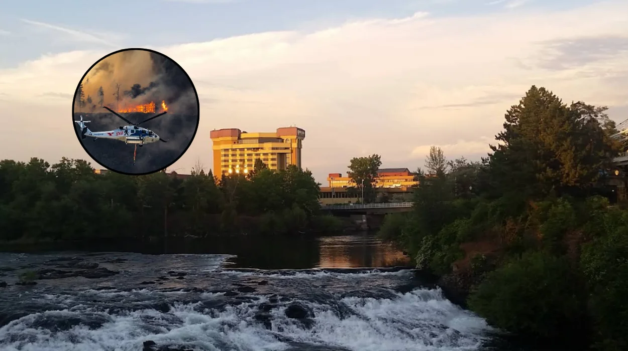
The fire, identified as the Old Trails fire, originated earlier in the day near West Euclid Road and North Old Trails Road. According to real-time incident tracking provided by the Watch Duty monitoring platform, the blaze consumed between 350 and 400 acres within its first ninety minutes before pushing into Riverside State Park. Propelled by high winds, the flames crossed the Spokane River and entered city bounds, threatening multiple residential developments. By 4:30 p.m., official estimates indicated the fire had expanded to approximately 2,500 acres.
Antoinette Serrate, a meteorologist with the National Weather Service, reported that winds picked up around noon, generating sustained gusts between 25 and 35 mph blowing toward the east and north-east, with localized gusts reaching up to 45 mph in nearby Airway Heights. Serrate noted that these critical wind conditions were anticipated to persist before beginning to taper off around 8:00 p.m.
How Are Medical Facilities and Vulnerable Residents Being Evacuated?
The rapid advance of the wildfire forced the evacuation of key medical and long-term care facilities in the path of the smoke and flames. The Mann-Grandstaff VA Medical Center was placed under a mandatory evacuation order. Medical staff and emergency responders coordinated the immediate transfer of vulnerable patients, sending seven patients to Providence Sacred Heart Medical Center and another seven to Holy Family Hospital.
Simultaneously, operations were undertaken at the Spokane Health and Rehabilitation Home, located at 6025 N. Assembly St. As reported by local news outlets covering the scene, elderly residents were moved outside to wait in shaded grass areas while Spokane Transit Authority buses arrived to transport them to safe reception sites.
How Are Local Residents and Emergency Crews Responding on the Ground?
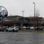
As reported by journalists on the ground for The Spokesman-Review, dense smoke blotted out the sun along North Driscoll Boulevard and West Francis Avenue, while visible flames consumed dry timber within Riverside State Park. Firefighting crews, supported by aerial water-dropping aircraft, focused efforts on structural protection as flames advanced directly toward residential streets.
In neighborhoods near Nine Mile Road and North Greenwood Boulevard, residents took desperate measures to protect their properties. Local resident Theresa Sullivan was observed using a garden hose to wet down her house, her neighbour’s home, and outdoor firewood piles. As recorded by The Spokesman-Review, Sullivan stated,
“It’s never been this close before,”
adding,
“I never thought it would be up here… I’m in shock.”
Along Northwest Boulevard, lines of vehicles stretched south in bumper-to-bumper traffic as residents attempted to exit the evacuation zone. Meanwhile, onlookers gathered along roadside ledges to watch flames covering the hillside across the river. Michael Keller, a 30-year resident of Spokane, observed the scene and noted that he had never seen a wildfire reach so close to the urban core. As reported by The Spokesman-Review, Keller stated:
“I’ve never seen it this bad. It has never in my life been this close.”
Keller expressed grave concern for his wife and adult son, who had driven back toward the evacuation zone to retrieve belongings from an absent relative’s home:
“I don’t know if they’ll even get in. They’re trying to save our stuff, but I’m really worried about them if they do make it in.”
What Is the Current Perimeter of the Mandatory Evacuation Zone?
According to wildland fire updates published on Watch Duty, firefighters were observed climbing onto residential roofs in an effort to extinguish embers and protect structures under immediate threat.
Mandatory Level 3 (“Go Now”) evacuation boundaries were formally established and expanded across the following boundaries:
- Northern Boundary: Marchand Road
- Southern Boundary: Trails Road
- Western Boundary: Lyons Road
- Eastern Boundary: Spokane River
Civic leaders continue to urge all residents within these perimeters to follow official evacuation routes immediately and leave roadways clear for emergency response vehicles.
Background of the Old Trails Wildfire Development
Eastern Washington routinely experiences elevated wildfire risks during late summer due to high temperatures, low relative humidity, and dry brush throughout the Inland Northwest. However, wildfires penetrating directly into Spokane city limits remain historically rare. Riverside State Park, which covers over 9,000 acres along the Spokane River, contains vast stands of Ponderosa pine and dry underbrush that create continuous fuel beds leading directly into residential developments such as Nine Mile Falls and Indian Trail. When severe wind events coincide with extreme fuel dryness, fires starting on the West Plains or near Airway Heights can breach natural barriers like the Spokane River via wind-driven spot fires, transforming rural brush fires into complex urban-interface emergencies within hours.
Explore More Spokane News
Spokane Wildfires Force Mass Evacuations in Washington 2026
Washington Wildfires Force Mass Evacuation in Spokane 2026
Prediction: How This Development Will Affect Spokane Residents and Emergency Infrastructure
The crossing of the Spokane River by the Old Trails fire represents a significant escalation in urban wildfire vulnerability for the city of Spokane, with direct impacts expected across several sectors:
- Residential Displacement and Housing Strain: With thousands of residents evacuated from North Spokane and the South Indian Trail area, temporary shelter networks, municipal resources, and regional hotels will face immediate capacity pressures. Short-to-medium term displacement will affect families, schools, and local businesses operating in the northern sector of the city.
- Healthcare and Social Service Reallocation: The evacuation of major facilities like the Mann-Grandstaff VA Medical Center and long-term care homes will place prolonged pressure on receiving regional hospitals, including Providence Sacred Heart and Holy Family Hospital. Emergency departments will likely experience surge volumes, necessitating diverted non-emergency medical care.
- Municipal Infrastructure and Utility Stress: Intense wildfire activity within urban boundaries typically leads to power grid disruptions, localized water pressure drops due to heavy firefighting draws, and road closures along key transport corridors like Division Street and Francis Avenue. Repairing damaged power lines and inspecting structural integrity will require extended utility interventions once the fire is suppressed.